There is no doubt that energy efficiency is a key factor in modern construction projects, especially due to the reduction of long-term operational costs. In this context, the BIM methodology has evolved to integrate advanced analysis tools that make it possible to evaluate a building’s energy performance from the earliest design stages, providing greater control and precision in decision-making. Many organizations rely on a specialized BIM company to properly implement these processes.
BIM Energy Analysis
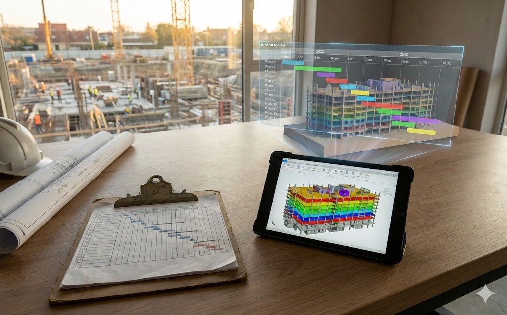
It is an application within the BIM environment that allows the simulation and analysis of a building’s energy behavior based on a digital model. Through the geometric and technical information of the project, it is possible to evaluate variables such as energy consumption, thermal loads, natural lighting, and system efficiency, making it easier to compare different design alternatives before construction begins.
The operation of BIM Energy Analysis is based on the creation of a BIM model enriched with relevant energy data. This model is used to run simulations that help predict energy consumption and building performance under different scenarios. During this process, the support of BIM consulting services is essential to ensure that the analyzed parameters are accurate and aligned with the project’s objectives.
Benefits of BIM Energy Analysis
- Design optimization
- Reduction of energy consumption
- Improved thermal and visual comfort of spaces
- Lower operational costs and compliance with sustainability standards and certifications
Energy analysis through BIM makes it possible to assess factors such as building orientation, thermal envelope, materials, natural ventilation, and HVAC systems. To achieve reliable results, it is essential to have proper BIM consulting services, since the quality of the model’s information directly influences the accuracy of the simulations.
Likewise, BIM Energy Analysis plays an important role in the evaluation and control of already developed projects. Through BIM consulting services, it is possible to review the model, verify its energy consistency, and identify opportunities for improvement, ensuring that the project meets established standards.
As you can see, BIM Energy Analysis is an essential tool in modern construction, as it enables the design of more efficient, sustainable, and cost-effective buildings. Its proper implementation, supported by BIM specialists, makes a significant difference in the quality and energy performance of construction projects. Contact us and let’s talk about your projects—we’re here to help.