Topographic Technical Assistance in the study of Ecological Flows

Acero Estudio is a leader in providing topographic technical assistance for the study of ecological flows and river systems in Spain. With a focus on environmental conservation, our specialized topographic surveys play a crucial role in the sustainable management of water resources, helping ensure that ecosystems thrive while supporting human activities.

Ecological flows refer to the quantity, timing, and quality of water flows required to sustain the health of rivers, streams, and wetlands. In Spain, understanding and managing these flows is essential for:

  • Conserving biodiversity: Ecological flows support fish populations, plant growth, and wildlife that depend on healthy water systems.
  • Balancing human needs and nature: Many rivers in Spain are used for agriculture, industry, and urban water supply. Proper flow management ensures that water use is sustainable without damaging ecosystems.
  • Mitigating environmental impacts: Climate change, pollution, and infrastructure projects (such as dams) affect the natural flow of rivers. Studying ecological flows helps mitigate these impacts and restore balance to ecosystems.

Our services include:

  1. Topographic Mapping of River Basins
  2. Elevation and Slope Analysis
  3. Floodplain and Flow Path Analysis
  4. Longitudinal and Cross-Sectional Profiles of Rivers

With our dedicated team of specialists and the use of the latest topographic technology, we ensure that our surveys contribute to effective, sustainable water management strategies. Contact Acero Estudio today to learn more about how we can assist with your ecological flow study and river system projects.

Topography Works with GPS and total station

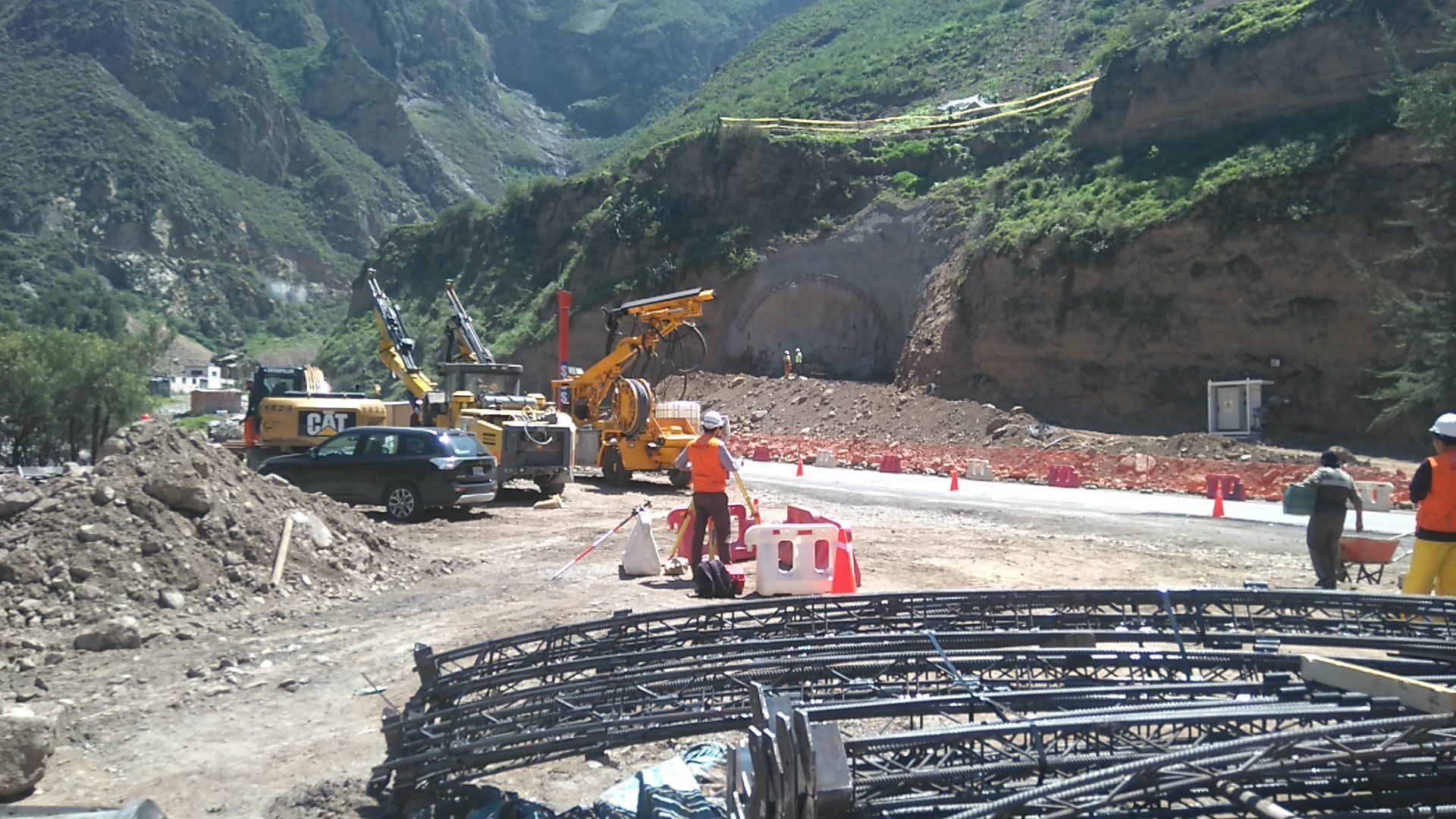
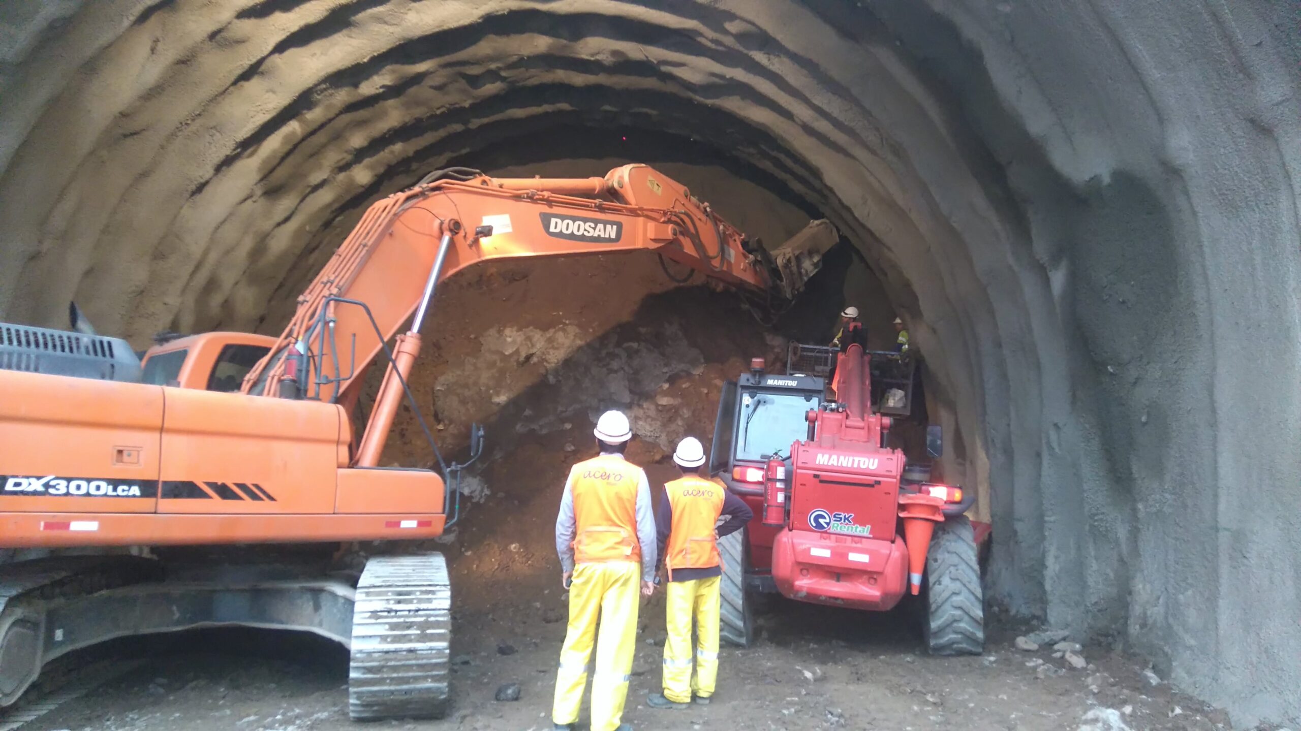
At Acero Estudio, we specialize in providing high-quality topography services using the latest technology, including GPS and total stations. Our focus is on delivering precise and reliable data for construction, engineering, and land development projects, ensuring accurate mapping and surveying of your land.

GPS in Topography: Precision and Efficiency

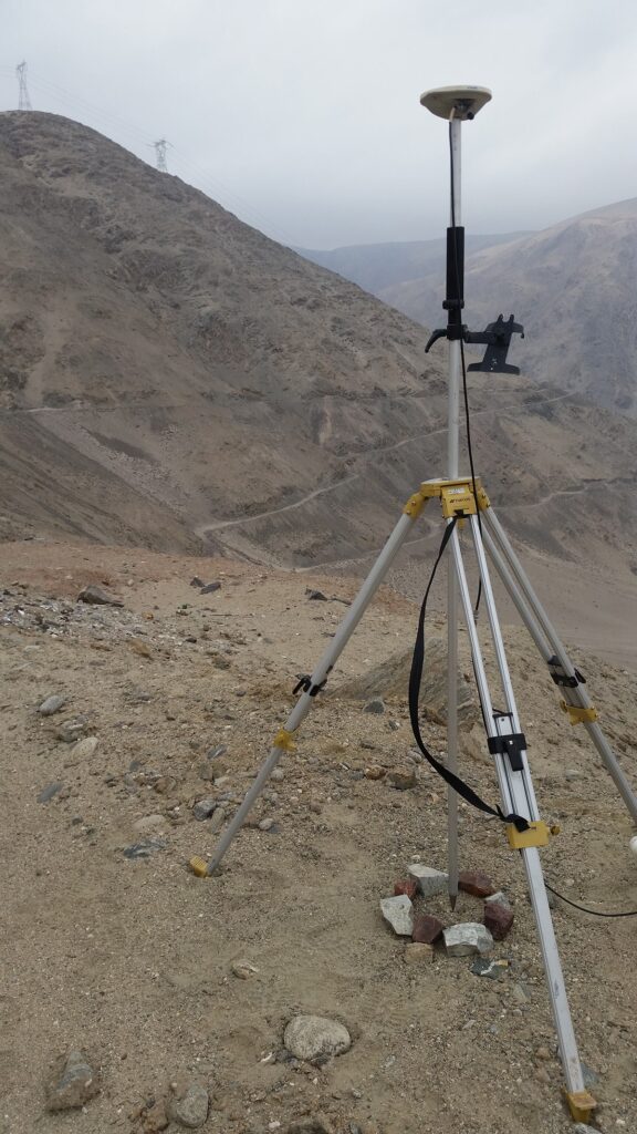
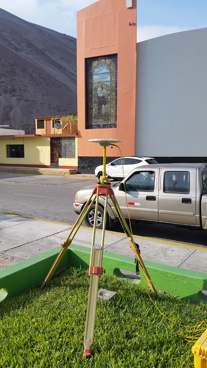
GPS (Global Positioning System) technology has revolutionized the field of topography. At Acero Estudio, we leverage high-precision GPS devices to gather accurate data on large and complex terrains. GPS allows us to quickly establish geodetic control points, ensuring consistent and reliable measurements across the project site.

The use of GPS in topographic surveying brings multiple advantages:

  • Efficiency: It significantly reduces the time needed to complete large-scale surveys.
  • Accuracy: GPS provides data with millimeter-level precision, ensuring high-quality results.
  • Versatility: GPS works in a variety of terrains, from open fields to rugged landscapes.

With GPS, we can efficiently conduct large-scale surveys, ensuring that your project is on a solid foundation right from the start.

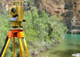
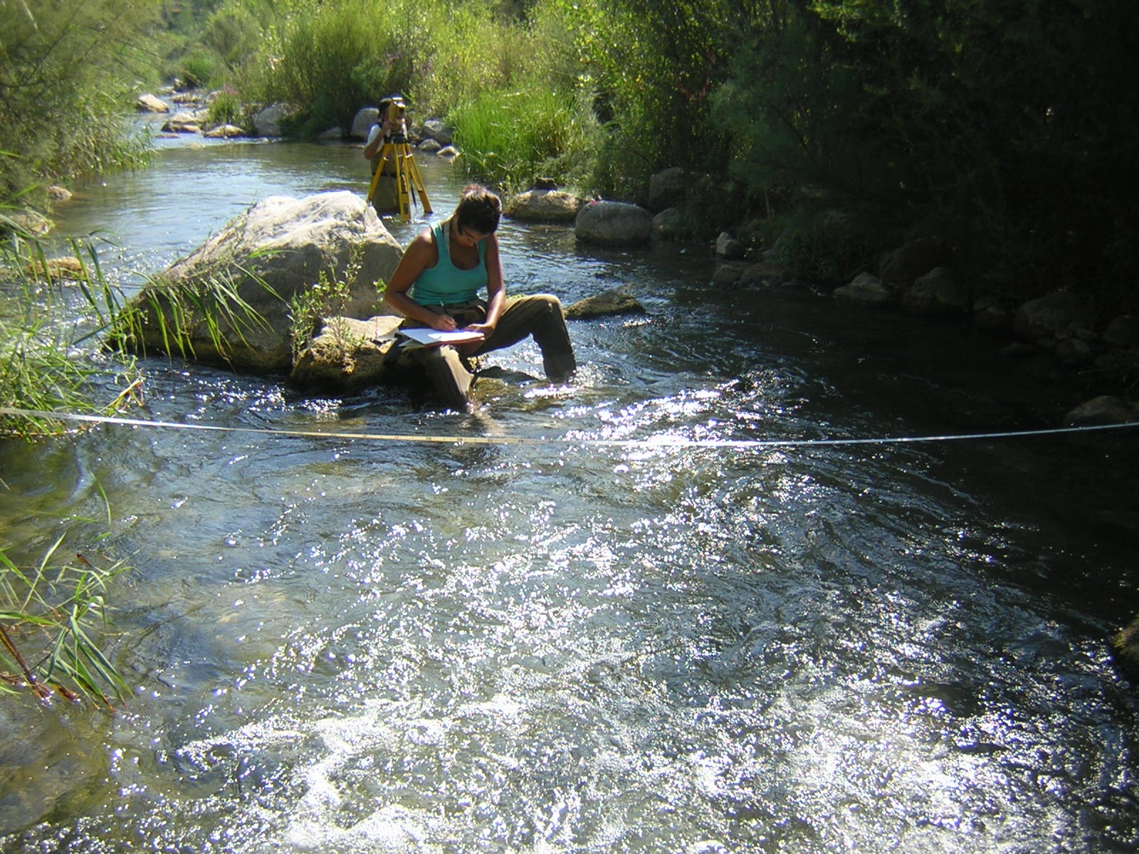
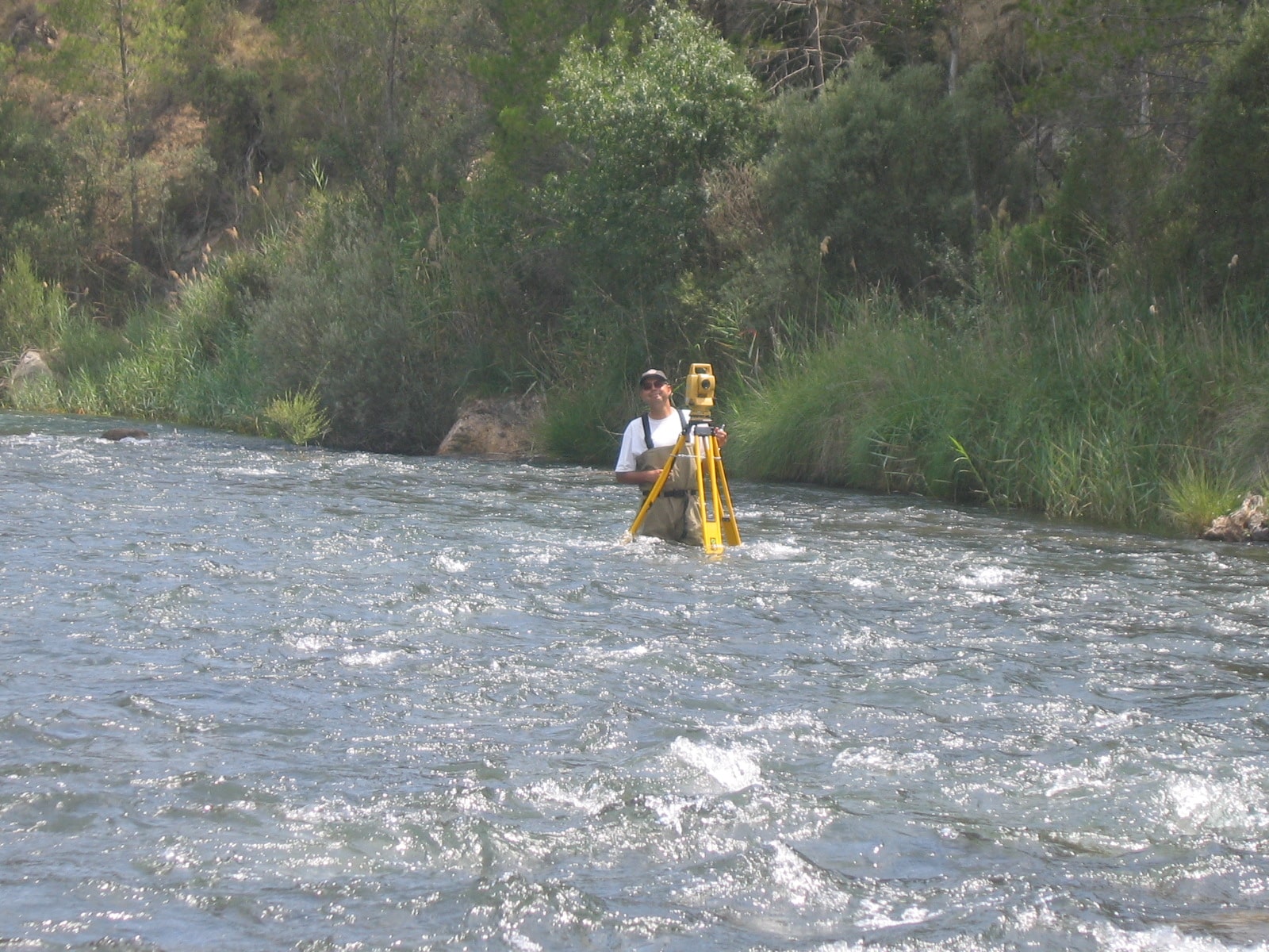
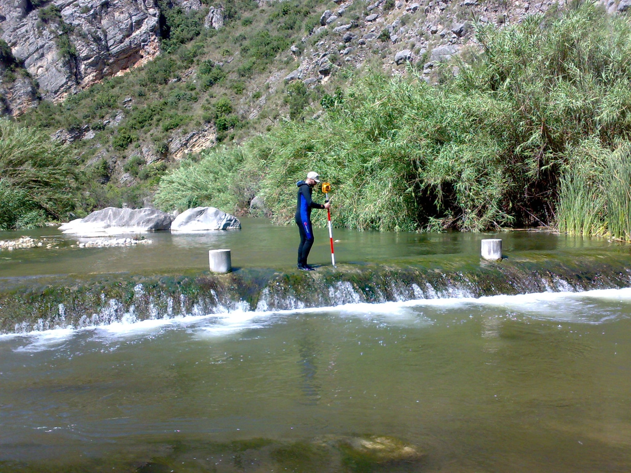
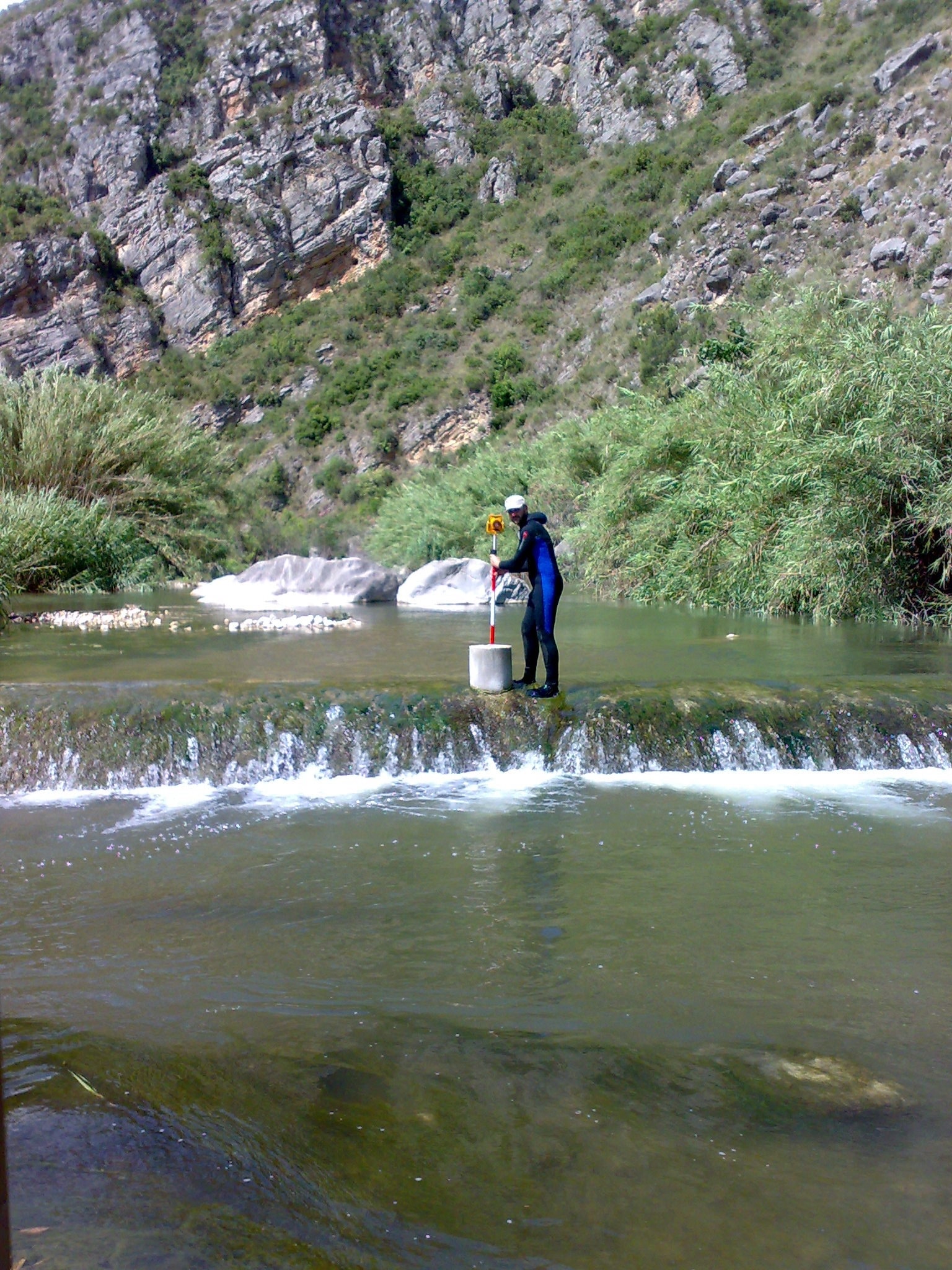
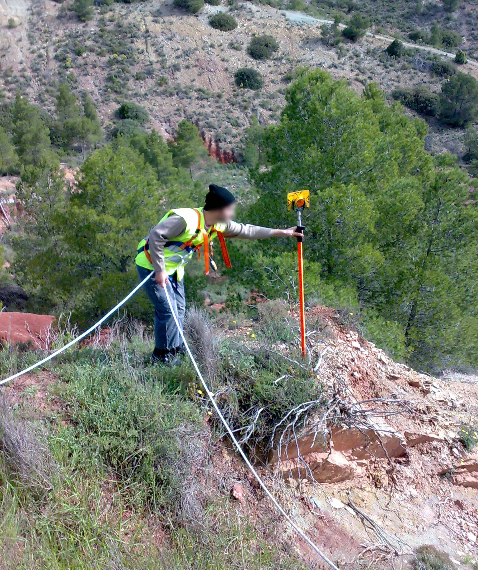
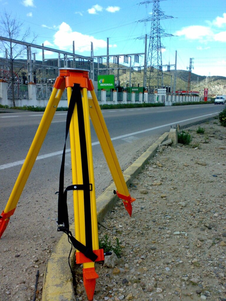
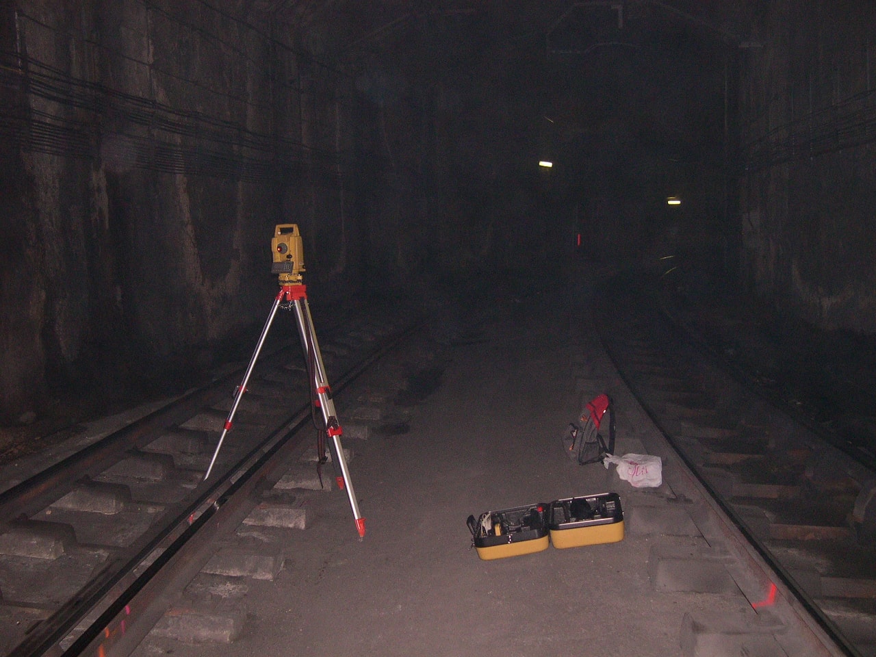
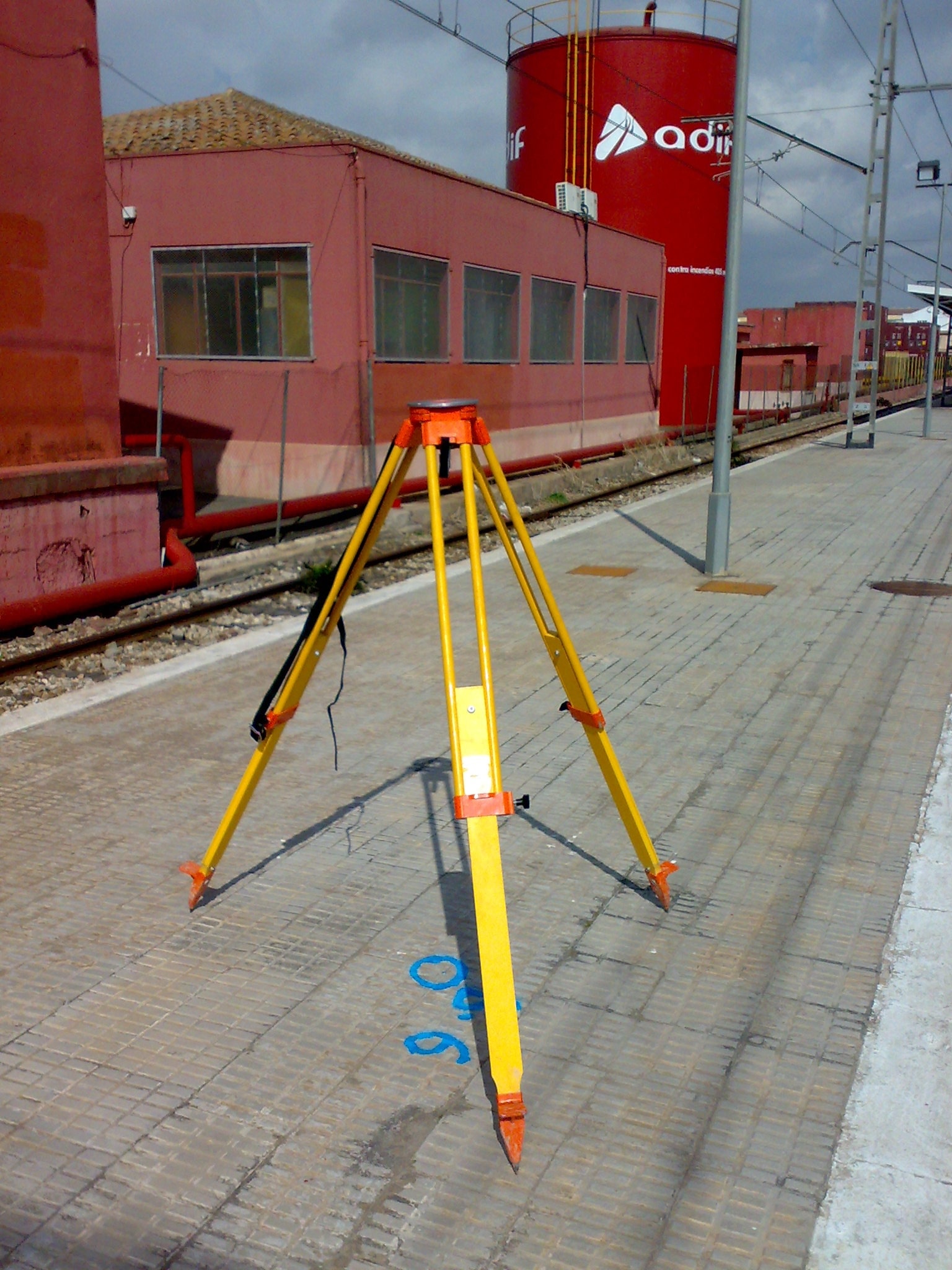
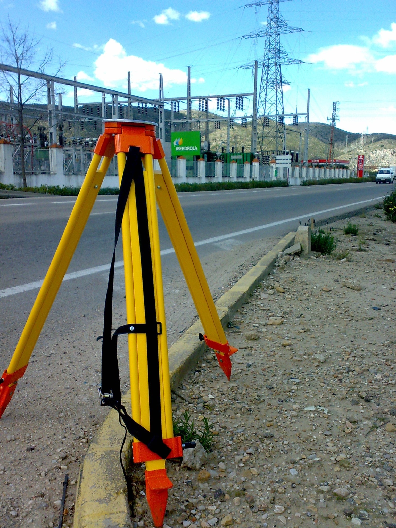
Total Station: Accuracy in Detail

While GPS is ideal for large-scale surveys, total stations play a crucial role in capturing fine details and ensuring the highest level of accuracy for smaller or more intricate areas. A total station combines electronic distance measurement (EDM) and angular measurements to create highly accurate maps and layouts of construction sites, property boundaries, and other areas.

At Acero Estudio, we use the most advanced total stations to ensure:

  • Sub-millimeter precision: Ideal for boundary surveys, construction staking, and high-detail work.
  • Flexibility: Suitable for both short and long-range measurements.
  • Integration: Seamless integration with our GPS data for comprehensive mapping.

Using total stations allows us to ensure that every corner and boundary of your project site is accurately measured, preventing costly errors and delays during construction.

Combining GPS and Total Station for Optimal Results

The combination of GPS and total station technology allows us to deliver comprehensive topographic surveys tailored to the unique needs of each project. While GPS provides rapid, large-scale data collection, total stations ensure detailed and accurate measurements where high precision is needed. This hybrid approach ensures that every aspect of your project is thoroughly covered.

Why Choose Acero Estudio?

At Acero Estudio, we are dedicated to providing exceptional topographic services for a wide range of industries, including construction, civil engineering, and land development. Our team of experts has extensive experience in handling complex projects with the latest equipment and technology. By choosing Acero Estudio, you benefit from:

  • Accurate and reliable data for planning and decision-making.
  • Cutting-edge technology, including GPS and total stations, to ensure the highest level of precision.
  • Tailored solutions to meet the specific needs of your project.

With Acero Estudio, you can rest assured that your topographic survey will be conducted with professionalism, efficiency, and the highest standards of quality. Contact us today to learn more about our services and how we can assist in your next project.

Topography of electric facilities in Caraveli (Peru)

Topographic surveys play a crucial role in the planning and construction of electric generation and distribution facilities, such as the one in CaravelĂ­, Peru. Acero Estudio was contracted to provide topographic support for this project, ensuring precise mapping of the terrain, accurate measurements, and detailed assessments of the site conditions. Our expertise helped guide the design and construction phases, minimizing potential risks and optimizing the placement of electrical infrastructure.

For electric facilities, topographic surveys are essential to identify the best routes for power lines, determine optimal locations for substations, and assess potential environmental and geographical challenges. Acero Estudio’s work in Caravelí included detailed land surveys, elevation mapping, and identification of natural and man-made features that could impact the project. This data was crucial in ensuring the safe and efficient implementation of the electrical installations.

Benefits of Topography in Electric Facilities:

  • Enhanced Safety: Identifying potential hazards and obstacles in advance.
  • Cost Efficiency: Preventing design errors and reducing construction delays.
  • Optimized Design: Providing accurate data for better planning and resource allocation.
  • Regulatory Compliance: Ensuring adherence to environmental and safety standards.

Contact Acero Estudio to learn how our expertise can support your next project, ensuring safe, efficient, and successful outcomes.

Topography in Chacahuaro Tunnel (Peru)

asistencia tecnica en servicios topograficos avanzados a proyecto de tĂşnel chacahuaro

Acero Estudio was the provider selected to develop topographic support for the construction of the Chacahuaro Tunnel in Lima, Peru. This challenging infrastructure project required topographic surveys to ensure the tunnel’s alignment, safety, and structural integrity. Our team conducted detailed terrain analysis, mapping, and elevation assessments, delivering accurate data critical to the tunnel’s design and construction.

With our equipment, including total stations, GPS systems, and LIDAR technology, we identified key geographical features and potential obstacles that could impact the construction process. Our technical expertise played a vital role in guiding the excavation and alignment of the tunnel, ensuring that every step of the project adhered to strict engineering standards.

Contact Acero Estudio, to benefit from a specialized team with extensive experience in topographic surveys for major infrastructure projects. Our focus on accuracy, advanced technology, and tailored solutions ensures that every project receives the technical support it needs to succeed.

Topography Works

Acero Estudio recently completed a comprehensive topographic survey for a metro station planning significant expansions. Our team conducted detailed land assessments, using state-of-the-art equipment such as drones, LIDAR, and GPS technology to capture precise measurements of the station’s existing infrastructure. The survey included terrain mapping, boundary delineation, and identifying potential obstructions, providing crucial data for engineers and architects to plan the expansion accurately.

Accurate surveys are essential for identifying ground conditions, ensuring construction safety, and avoiding costly errors during the expansion process. By delivering a highly detailed and precise topographic map, we enabled the project team to make informed decisions, minimize risks, and optimize design plans.

Contact Acero Estudio to ensure that every aspect of your project is built on a foundation of precision.