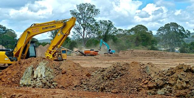
The New Central Highway of Peru is one of the most ambitious infrastructure projects in the country’s history. Its construction will require an investment of more than S/ 24 billion soles and will feature a four-lane width designed to reduce travel time between the coast and the central region of the country from six hours to just two and a half hours.
This mega-project will also span the regions of Lima and Junín, connecting the coast, highlands, and jungle of Peru with a total length of 185 km of roadway, 33 km of tunnels, and 19 km of elevated viaducts with various retaining walls. This is of great importance for boosting the national economy and trade by reducing logistics costs and improving connectivity with the Port of Callao and the future Port of Chancay.
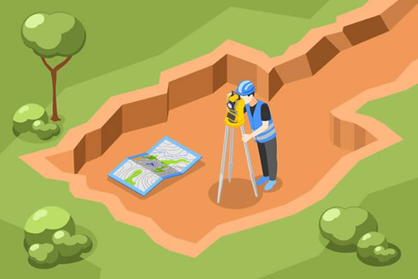
THE IMPORTANCE OF TOPOGRAPHY IN THIS MEGA-PROJECT
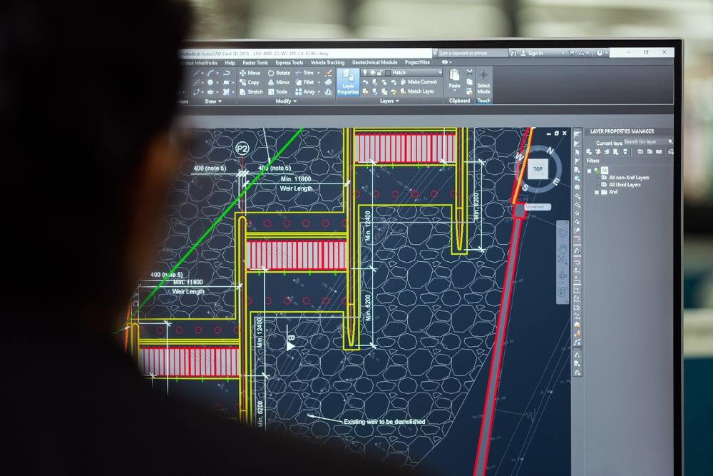
For an investment of this scale and significance to be properly executed and long-lasting, it is essential to carry out high-level topographic and geodetic studies. Topography allows us to understand the terrain’s features and elevations so that architects and engineers can develop plans with full awareness of risks and structural requirements. It is also crucial to identify geological risks to optimally design the layout throughout the entire length of the highway.

A CHALLENGE ACCEPTED
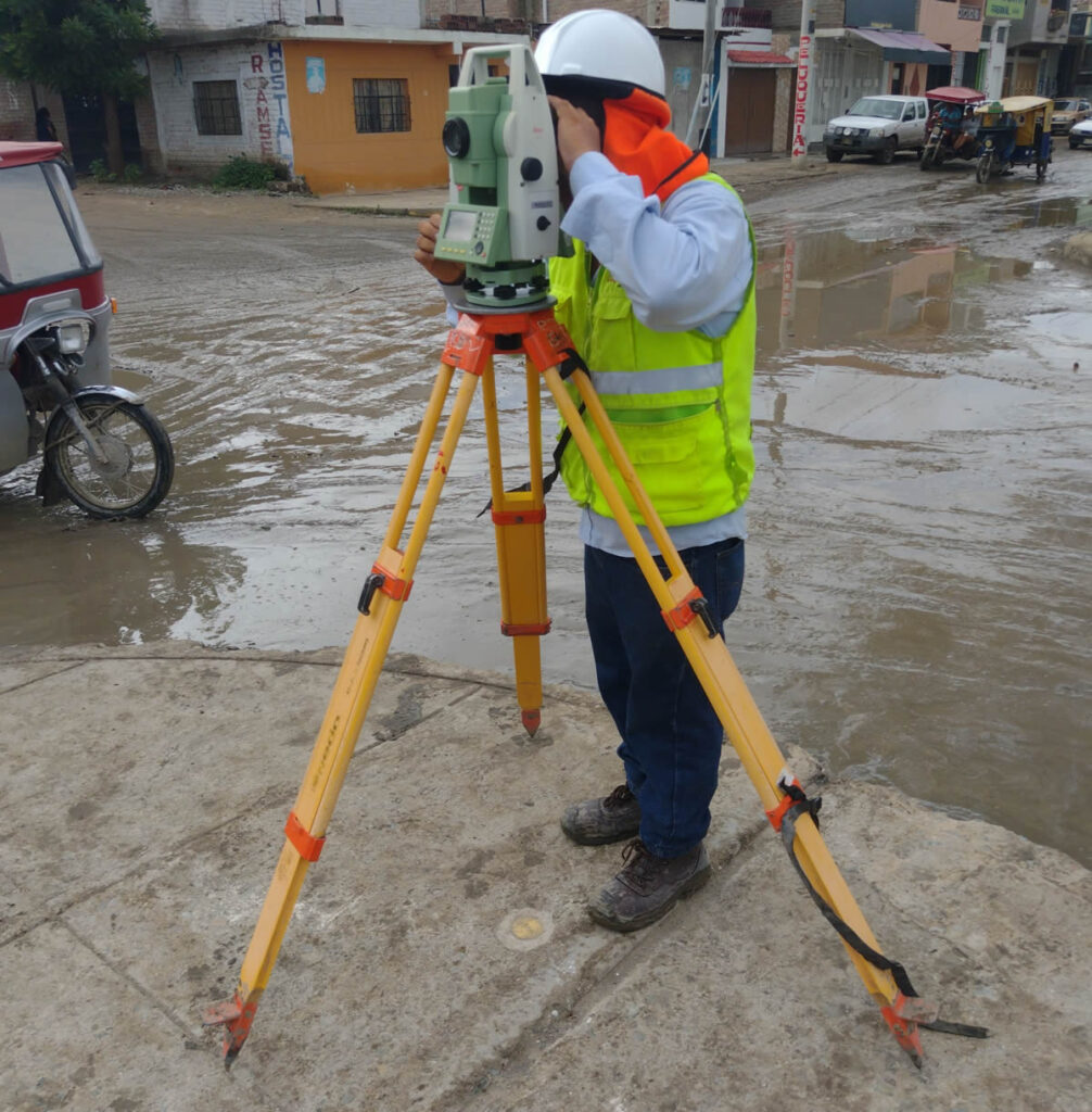
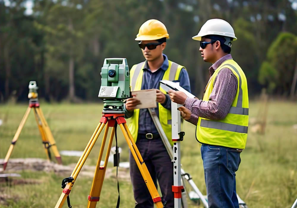
Participating in this project has been a challenge for Acero Estudio—one that demands a substantial deployment of human, technological, and logistical resources. Thanks to our experience in a wide range of projects, we have successfully mobilized highly trained personnel to hard-to-reach areas, many with steep slopes and associated safety risks.
To minimize human risk and collect high-quality data in inaccessible zones, we use cutting-edge technology including drones equipped with various sensors, as well as high-precision total stations.
These tools are complemented by our data recording systems and the meticulous planning carried out by our management team.
At Acero Estudio, we are proud to contribute to the country’s development through our topographic services on large-scale projects such as the New Central Highway. We also offer our capabilities for smaller projects. Whether it’s a national highway or a local development, we provide specialized services in topography, geodesy, and drone-based surveys with the same level of quality and professionalism.
And remember, if you need any topographic survey, we are at your service. Contact us today.