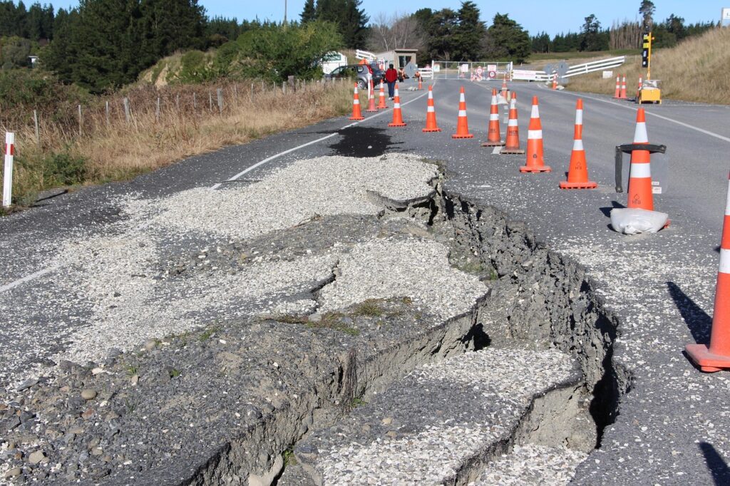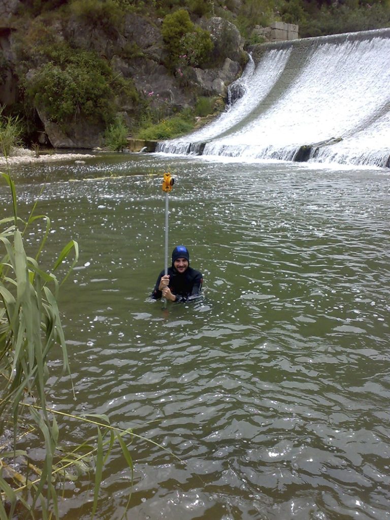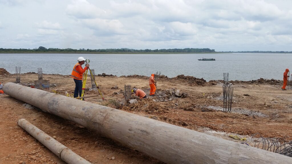
When we begin an infrastructure project, we know that obtaining reliable terrain data is the foundation of a successful design. Traditional land surveying requires survey crews to move continuously across large areas while transporting total stations, GNSS equipment, and other instruments. This process increases fieldwork time, demands greater logistical coordination, and delays the delivery of critical information. For highways, industrial plants, transmission lines, mining operations, and urban developments, these limitations directly impact project schedules and operational efficiency.
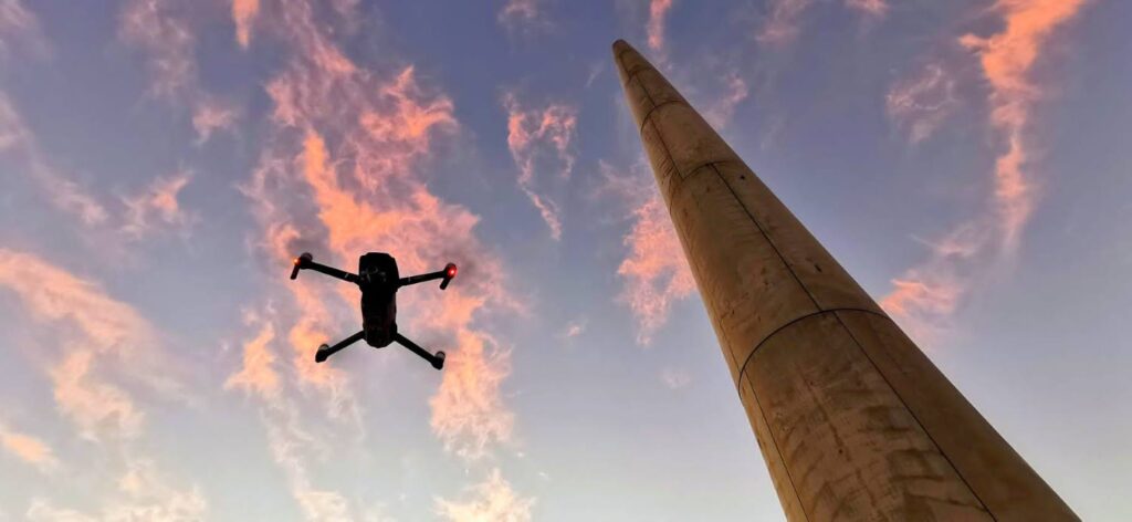
We Plan Automated Flight Missions to Survey Large Areas Faster
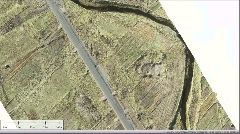
At Acero Estudio, we use drone technology to optimize every topographic survey. Before each mission, we program precise flight paths that ensure complete coverage of the project area while maintaining consistent data collection. This methodology eliminates unnecessary field movements, reduces survey time, and allows us to capture extensive areas efficiently without compromising data quality. As a result, engineering teams receive accurate information sooner and can move forward with design, planning, and project execution without delays.
We Process Digital Data with Specialized Software for Maximum Accuracy
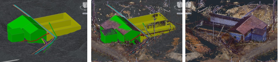
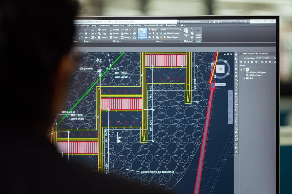
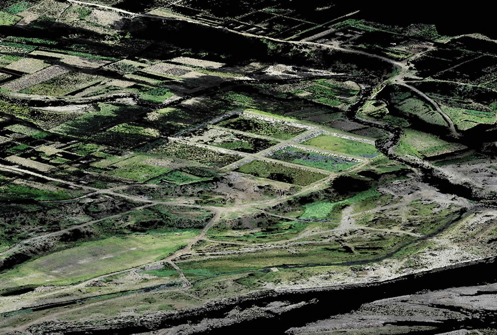
After every flight, we download all captured information in digital format and process it using specialized software to generate orthomosaics, digital terrain models, contour lines, and high-density point clouds. This digital workflow delivers consistent results, integrates seamlessly with CAD, BIM, and GIS platforms, and accelerates the production of technical deliverables. Our clients receive precise and reliable data that supports engineering analysis, construction planning, and infrastructure development from the earliest project stages.
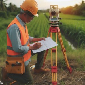
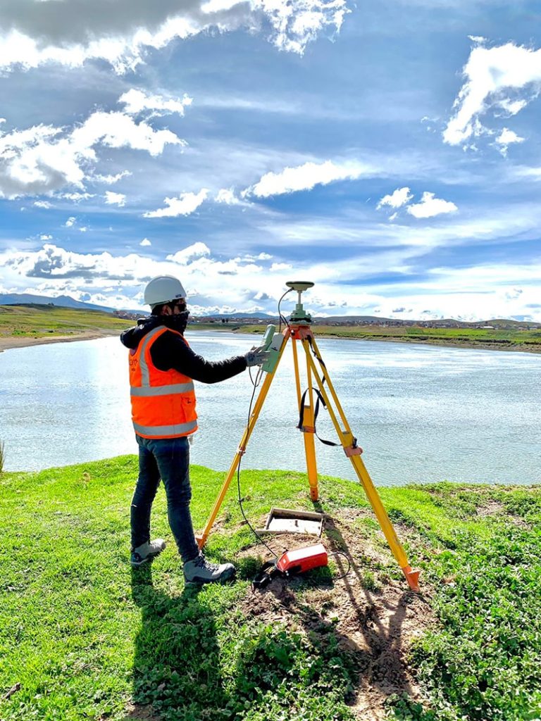
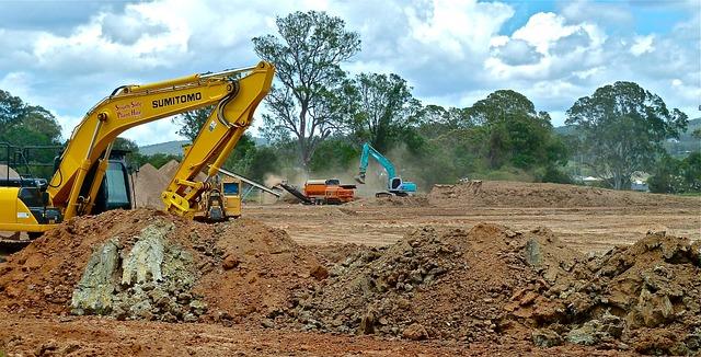
At Acero Estudio, we provide advanced surveying solutions for infrastructure, industrial, mining, and construction projects. Our services include topographic surveying, LiDAR surveying, and drone photogrammetry, all performed with state-of-the-art technology and rigorous quality standards. We focus every survey on accuracy and precision because we understand that every successful engineering project begins with dependable geospatial information.