Control points in topography are physical (metal or concrete markers) or digital (points within a digital model) geographic references used to ensure accuracy and consistency in topographic surveys. These points are established with known coordinates and serve as a foundation for precise terrain measurement and mapping.
Benefits of Control Points in Topography
The use of control points provides several benefits, such as:
- Ensuring precision in collected data by correcting potential equipment errors.
- Guaranteeing consistency between different surveys, facilitating data comparison in long-term projects.
- Helping optimize time and resources by reducing the need for subsequent corrections, ensuring reliable results from the outset.
Applications of Control Points
Control points are employed in various techniques, including:
- Drone photogrammetry
- Topographic leveling
- Geodetic surveys

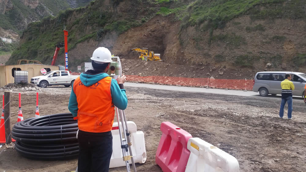
For example, in a road construction project, control points help define precise alignments and elevations, ensuring the design is executed in accordance with the projected plans.
At Acero Estudio, we specialize in topographic survey services such as land surveys and advanced technologies like drone photogrammetry. If you’re looking for precision and efficiency in your projects, contact us. We are ready to provide high-quality solutions tailored to your needs.
