The Acero Estudio team in Peru carried out the geodesy, drone flight and restitution of the area planned for the Pedestrian Accessibility to and from “Las Estaciones del Metropolitano, Lima”.
Given the current situation of global pandemic due to COVID-19, these tasks were all carried out under preventive measures and medical examinations.
To better understand the work developed by our team in the project area, they began with the placement of Geodetic Points (one at each station) linked to the IGN coordinate system. The measurement of the same by means of differential GPS of double frequency. Then, we proceeded to the location of the support points necessary for the subsequent restitution of the drone flight. These support points were marked with X-shaped stencils and paint, and were measured with GPS in RTK mode.
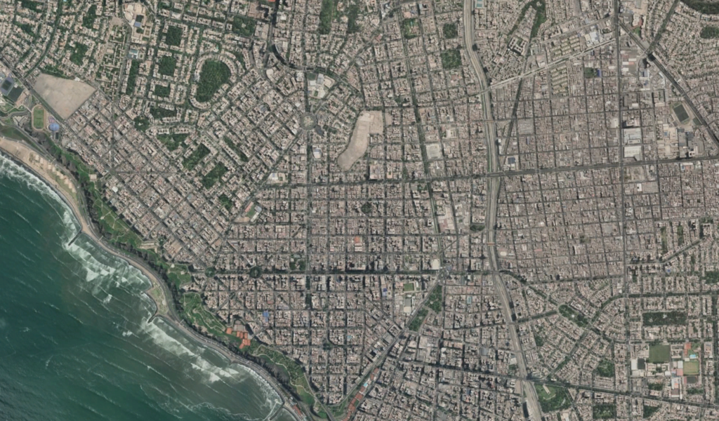
The drone flight of the 33 stations was performed at a suitable height taking into account the height of the buildings and the existing elements. A DJI Phantom 4 Pro drone with a 20 Mpx camera was used for this purpose. Once the photogrammetric images were obtained, they were processed and the point cloud and orthophoto of each station were made. With the orthophoto and the point cloud, the DTM was processed and then the restitution of the environment of each station.
We would like to thank our client CPS for the trust placed in our team and for the coordination and management of the work carried out.
