Since it is currently the rainy season along the Latin American coast, this article is highly relevant and well-contextualized for the first three months of the year.
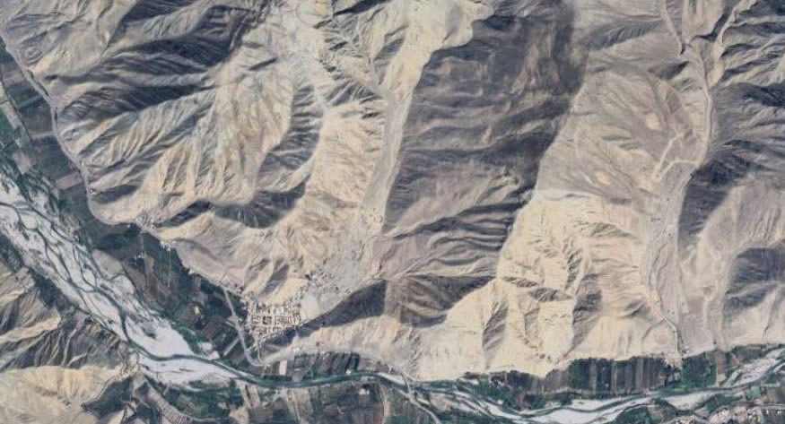
Among the lesser-explored functions of topography is that it enhances the understanding of soils and their stability characteristics. This knowledge is essential for accurately calculating the volumes of material carried by rain during specific periods of rainy years.
The proper evaluation of these phenomena allows us to understand soil behavior in response to water erosivity and its sediment transport capacity, which directly impacts the design and maintenance of natural and artificial channels.
To estimate sediment contribution in basins, the empirical Gavrilovic model (Gavrilovic 1959, 1988; Zemljic 1971) is employed, widely used in hydrology and geotechnical studies. This model enables the calculation of annual sediment production by considering variables such as precipitation erosivity, geological and edaphological characteristics of the terrain, land use, and slope.
Thanks to this methodology, it is possible to obtain a reliable estimate of the amount of sediment transported by waterways during intense rainfall events, contributing to better planning of mitigation and erosion control measures.
These types of studies are fundamental for improving knowledge of alluvial flows, allowing for the reduction of their impact and risks on urban and transportation infrastructure. The accumulation of sediments in channels and reservoirs can cause blockages, reduce storage capacity, and increase the risk of flooding. Therefore, the application of topographic techniques and mathematical modeling is key in designing preventive and corrective solutions for efficient water resource management and the protection of hydraulic structures.
At Acero Estudio, as a topography company, we specialize in topographic survey services and are at your disposal to conduct detailed studies that ensure an adequate understanding of the terrain and its dynamics. Contact us and ensure the reliability of your projects with our team of experts.
