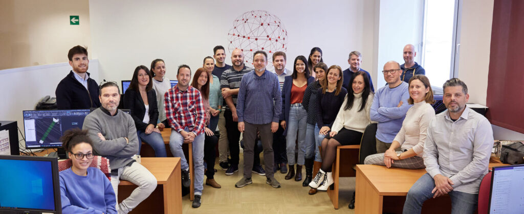
If you’re looking for a surveying company, you’ve come to the right place. Acero Estudio is the right choice, we are a highly specialized surveying company offering all types of studies and surveying services in both Peru and Spain. We have carried out topographic surveys for infrastructure projects, construction projects, cadastral activities, and residential and industrial buildings, among others.
Our Experience in Surveying
As a surveying company, we have more than 25 years of experience, starting in Spain and later expanding into Latin America. In both regions, we have worked on projects in the private and public sectors, providing the necessary topographic and geodetic studies and services for a wide range of works and industries, including:
- Infrastructure construction: roads, bridges, and tunnels
- Expansion of metro and train stations
- Industrial building expansions
- Hydraulic infrastructure
- Mining sector works
- Residential construction
- Airport construction
What Technology Do We Use in Our Surveying Work?
Today, the discipline of surveying requires not only skilled and experienced professionals but also the proper tools to achieve accurate measurements. At Acero Estudio, we use a wide range of equipment to collect the most precise information, including:
- Total stations
- Drones with photogrammetry cameras
- Drones with LIDAR laser sensors
- Digital levels
- GNSS and GPS receivers
- 3D scanners
Robotic total stations
As you can see, technology has also transformed our sector, and we have embraced this evolution by extensively using the best tools to achieve faster and more cost-effective results. That’s why, in addition to traditional surveying services, we stay up to date by incorporating cutting-edge technologies.
What Types of Services Does a Surveying Company Offer?
A specialized surveying company must be equipped to offer high-quality services such as:
- Topographic surveys of any area
- Topographic leveling: geometric, trigonometric, physical, barometric, etc.
- Aerial orthophotos (drone photogrammetry)
- Tachymetry services using total stations for fast distance measurement
- LIDAR services for densely forested areas
- Hydrographic surveying
- Earth volume calculation surveying
What Topographic Techniques Do We Use?
Among the specialized techniques we implement are:
- Traverse surveying
- Geometric leveling
- Drone-based surveying
- Drone photogrammetry
- Topographic surveys
- Geodesy services
With professionals specialized in each of these methods, we deliver accurate and comprehensive data that are essential for the planning and execution of projects of any size and complexity.
We invite you to contact us and join our satisfied clients who value the quality of our work, our punctuality, and our commitment. At Acero Estudio, we adapt to the specific needs of each project to guarantee precise and efficient results.


