CARTOGRAPHY
LIDAR / PHOTOGRAMETRY

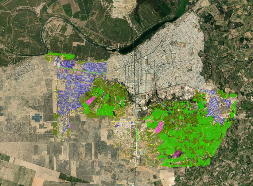
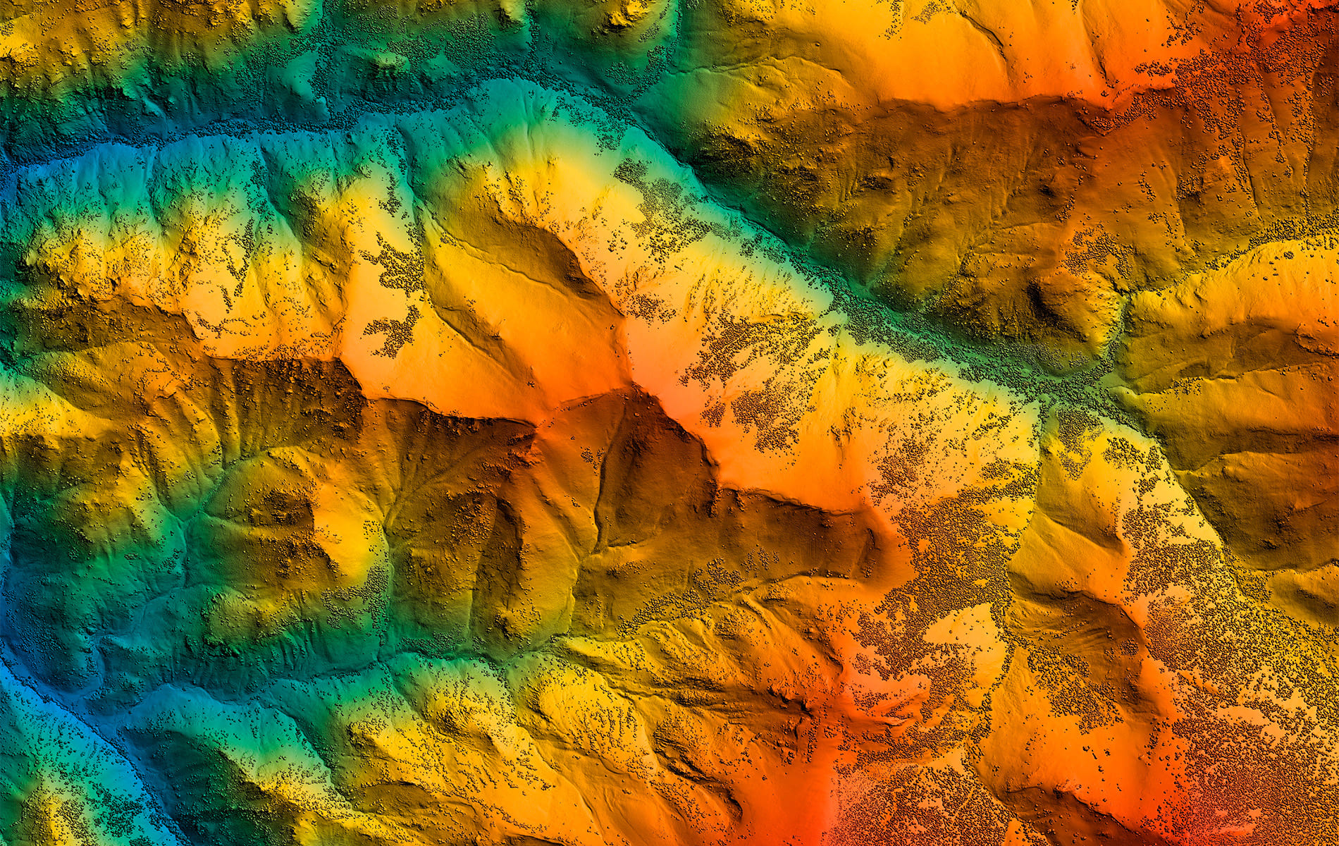
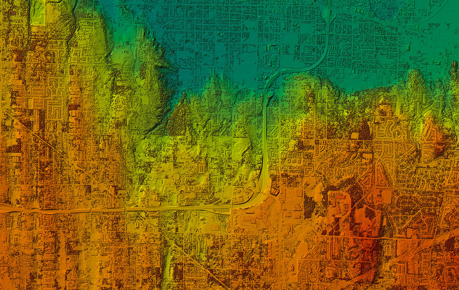
Acero Estudio has the necessary tools for the geographic representation of data in digital maps with detailed, updated and customized information.

Cadastre, Urbanism, Hydraulics, Transportation infrastructures, Resources management, environmental research and other fields of application.

Acero Estudio offers you integral cartography services adapted to the needs of your project combining the knowledge and experience of our team at international level.

CARTOGRAFÍA
LIDAR / FOTOGRAMETRÍA

Acero Estudio dispone de las herramientas necesarias para la representación geográfica de datos en mapas digitales con información detallada, actualizada y personalizada.

Catastro, Urbanismo, Hidráulica, Infraestructuras del transporte, Gestión de recursos, investigación ambiental y otros campos de aplicación.

Acero Estudio le ofrece servicios integrales de cartografía adaptándose a las necesidades de su proyecto combinando el conocimiento con la experiencia de nuestro equipo a nivel internacional.

Cartografía 0

REQUEST A QUOTE

 Spain: +34 963379694
info@aceroestudio.com
Peru: +51 (01)5552863
latam@aceroestudio.com

Aceptación(Required)

More information?

Contact us to see what service you are interested in or to collaborate with us:

Spain: info@aceroestudio.com or call us at +34 963379694

Peru: latam@aceroestudio.com or call us at +51 (01)5552863