At Acero Estudio, we specialize in providing high-quality topography services using the latest technology, including GPS and total stations. Our focus is on delivering precise and reliable data for construction, engineering, and land development projects, ensuring accurate mapping and surveying of your land.
GPS in Topography: Precision and Efficiency
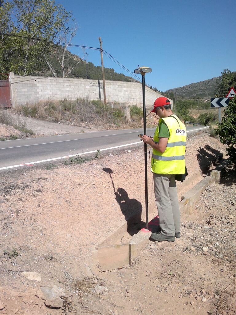
GPS (Global Positioning System) technology has revolutionized the field of topography. At Acero Estudio, we leverage high-precision GPS devices to gather accurate data on large and complex terrains. GPS allows us to quickly establish geodetic control points, ensuring consistent and reliable measurements across the project site.
The use of GPS in topographic surveying brings multiple advantages:
- Efficiency: It significantly reduces the time needed to complete large-scale surveys.
- Accuracy: GPS provides data with millimeter-level precision, ensuring high-quality results.
- Versatility: GPS works in a variety of terrains, from open fields to rugged landscapes.
With GPS, we can efficiently conduct large-scale surveys, ensuring that your project is on a solid foundation right from the start.
Total Station: Accuracy in Detail
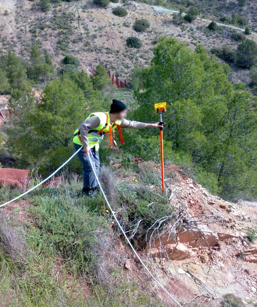
While GPS is ideal for large-scale surveys, total stations play a crucial role in capturing fine details and ensuring the highest level of accuracy for smaller or more intricate areas. A total station combines electronic distance measurement (EDM) and angular measurements to create highly accurate maps and layouts of construction sites, property boundaries, and other areas.
At Acero Estudio, we use the most advanced total stations to ensure:
- Sub-millimeter precision: Ideal for boundary surveys, construction staking, and high-detail work.
- Flexibility: Suitable for both short and long-range measurements.
- Integration: Seamless integration with our GPS data for comprehensive mapping.
Using total stations allows us to ensure that every corner and boundary of your project site is accurately measured, preventing costly errors and delays during construction.
Combining GPS and Total Station for Optimal Results
The combination of GPS and total station technology allows us to deliver comprehensive topographic surveys tailored to the unique needs of each project. While GPS provides rapid, large-scale data collection, total stations ensure detailed and accurate measurements where high precision is needed. This hybrid approach ensures that every aspect of your project is thoroughly covered.
Why Choose Acero Estudio?
At Acero Estudio, we are dedicated to providing exceptional topographic services for a wide range of industries, including construction, civil engineering, and land development. Our team of experts has extensive experience in handling complex projects with the latest equipment and technology. By choosing Acero Estudio, you benefit from:
- Accurate and reliable data for planning and decision-making.
- Cutting-edge technology, including GPS and total stations, to ensure the highest level of precision.
- Tailored solutions to meet the specific needs of your project.
With Acero Estudio, you can rest assured that your topographic survey will be conducted with professionalism, efficiency, and the highest standards of quality. Contact us today to learn more about our services and how we can assist in your next project.


