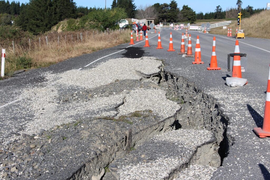
One of the most interesting questions we have received from our Peruvian clients in recent times is whether an earthquake can affect the topography of an area. This is an unusual but important question, especially since countries like Peru are located in a high seismic activity zone known as the “Pacific Ring of Fire.”
The answer is a resounding YES. Seismic movements directly impact topography and soil characteristics due to various phenomena that affect the terrain. These include:
Ground Movement and Rupture
Earthquakes can cause movement and displacement of the Earth’s surface due to waves generated by the friction of tectonic plates. These displacements can damage rigid structures such as buildings and bridges.
Formation of Scarps
Scarps are abrupt rock formations that appear to rise from the terrain due to seismic movement. These can form suddenly or along a fault line, serving as visible evidence of crustal deformation. Over millions of years, scarps can evolve into mountain ranges.
Liquefaction
In soils affected by moisture or with the presence of water, a phenomenon known as liquefaction can occur. This causes the ground to lose its consistency, leading to the total collapse of structures.
As you can see, earthquakes have a real impact on the ground and, consequently, on the topography of land, valleys, and mountainous areas. If you want to learn more about topography and how we can help you reduce construction risks in your projects (even in seismic zones), feel free to contact us and inquire about our topographic survey services.
Acero Estudio, as a company specializing in advanced topographic studies, is always at your service.


