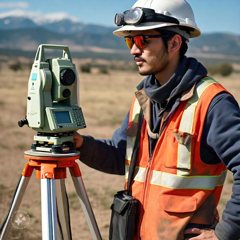
Once a topographic survey has been conducted, companies gain precise information about the land where construction will take place. A topographic setting-out is the process of validating the data from the prior survey to initiate the construction process.
Why is setting-out important?
A setting-out ensures that the structure is correctly positioned, avoiding errors that could lead to additional costs and project delays. While there are usually ways to validate information from a topographic survey, setting-out minimizes the risk of any erroneous values persisting.
How do we carry out our setting-out process?
- Preparation: We analyze the technical design and determine the key points to be marked on the site.
- Positioning: Reference points are established using tools like total stations, optical levels, or GPS.
- Marking: Stakes, lines, and other marks are placed to serve as guides for construction teams.
Applications
- Construction of buildings, roads, and bridges.
- Industrial facilities and plants.
- Urban development projects and public utility networks.
If you’ve conducted topographic surveys and need validation of the data, contact Acero Estudio. With 26 years of experience, we specialize in topographic survey services, ensuring precise construction in the right location. Contact us today!


