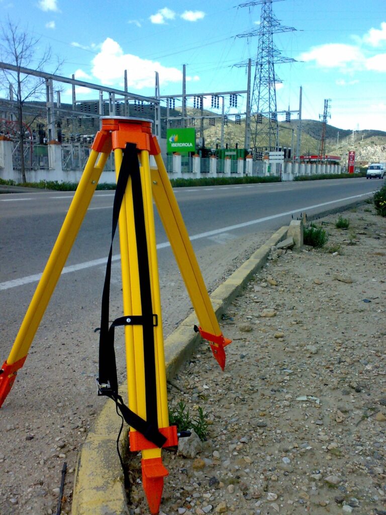
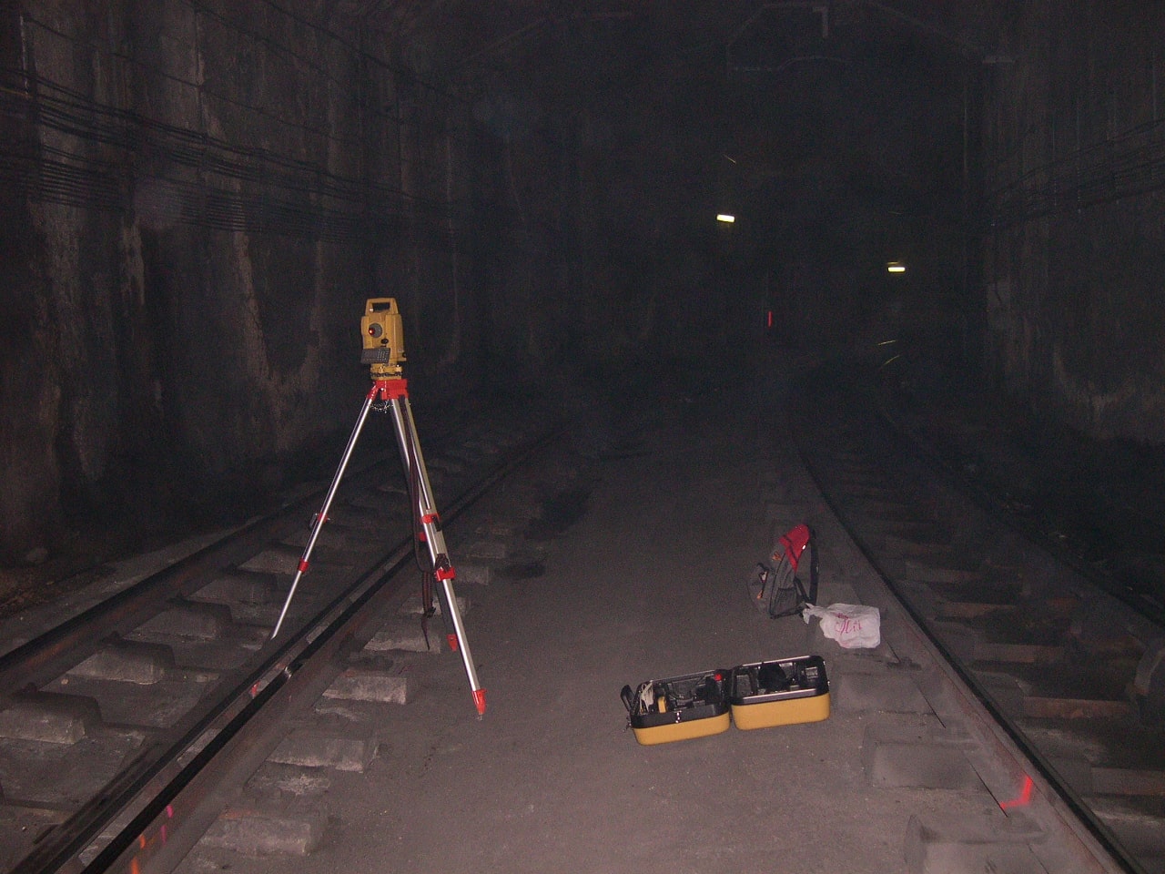
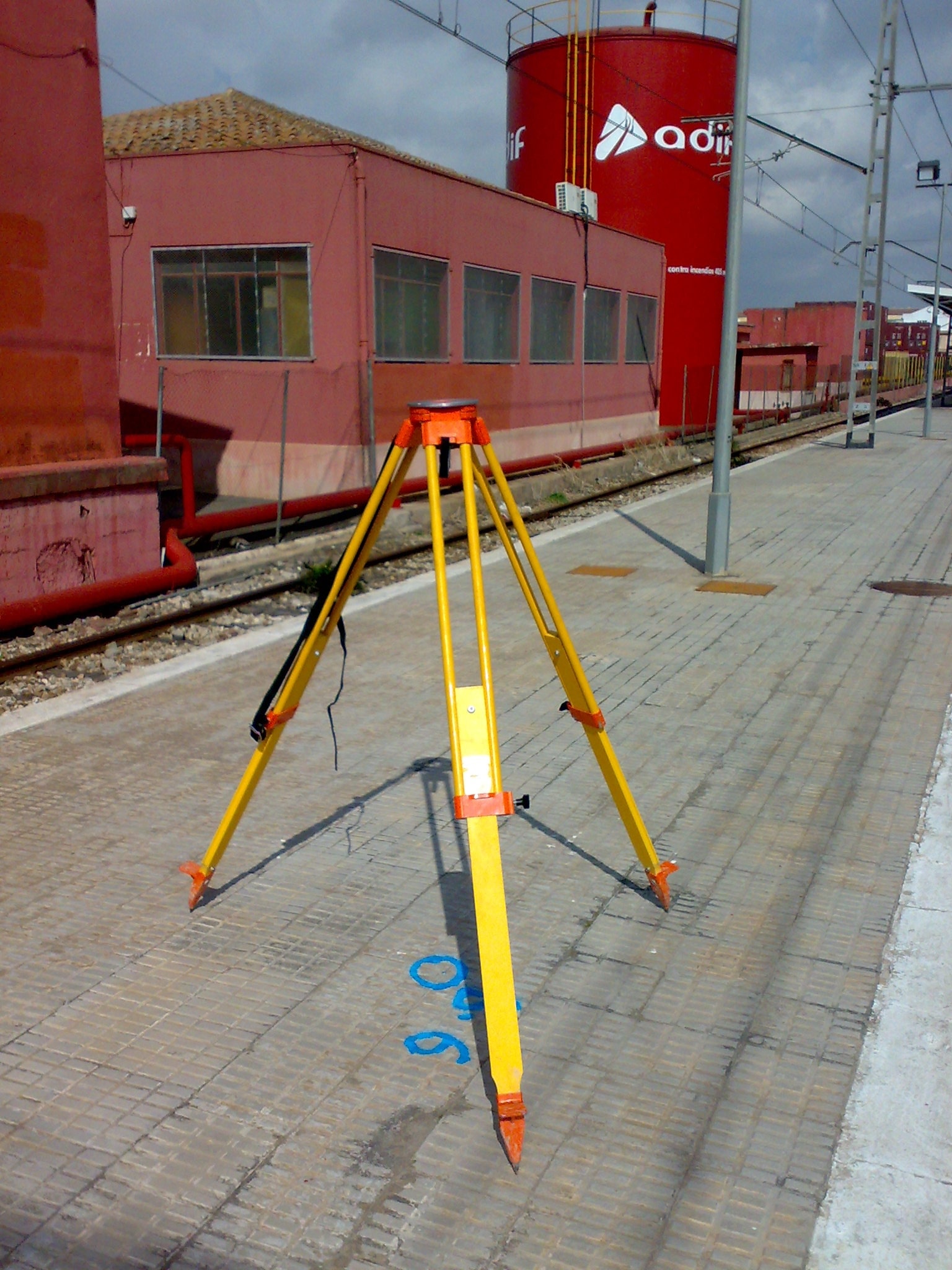
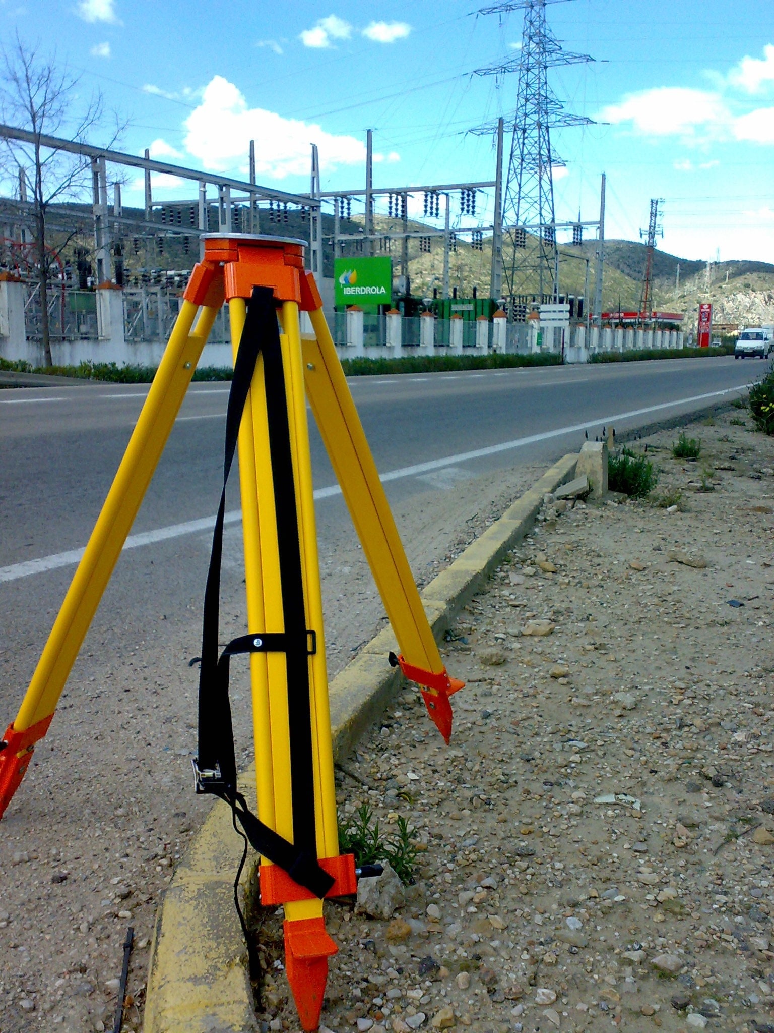
Acero Estudio recently completed a comprehensive topographic survey for a metro station planning significant expansions. Our team conducted detailed land assessments, using state-of-the-art equipment such as drones, LIDAR, and GPS technology to capture precise measurements of the station’s existing infrastructure. The survey included terrain mapping, boundary delineation, and identifying potential obstructions, providing crucial data for engineers and architects to plan the expansion accurately.
Accurate surveys are essential for identifying ground conditions, ensuring construction safety, and avoiding costly errors during the expansion process. By delivering a highly detailed and precise topographic map, we enabled the project team to make informed decisions, minimize risks, and optimize design plans.
Contact Acero Estudio to ensure that every aspect of your project is built on a foundation of precision.
