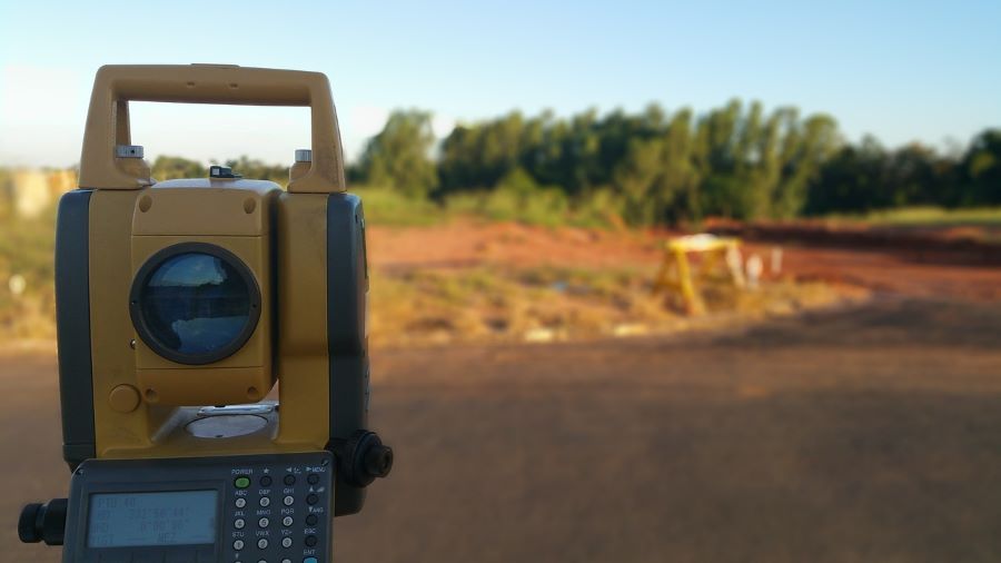
One of the most traditionally used tools in surveying companies is the total station. This device, an advanced version of the classic theodolite, allows for the measurement of distances and inclination angles in an area where a topographic survey will be conducted.
The total station includes a computer that records the analyzed points, which are then processed and integrated into a more complete topographic map where the study’s conclusions are developed. Additionally, this important tool can be integrated with GPS devices to achieve greater accuracy in the information obtained.
What Surveys Can Be Conducted with a Total Station?
With the total station, you can perform:
- Angle measurements
- Distance measurements
- Determination of points and coordinates
It is also a useful tool for the development of:
- Topographic surveys
- Cadastral surveys
- Tunnel topographic studies
- Surveying for hydraulic projects
While it is true that UAVs have introduced various alternatives for topographic surveys in recent years, the use of the total station remains highly important, making it one of the most essential tools in surveying.
If you would like to learn more about our surveying services, please contact us. Acero Estudio has 25 years of experience in surveying in Europe and Latin America; we are at your service.
