
BIM Audit for Projects

servicio de auditoria bim para proyectos de construccion y arquitectura

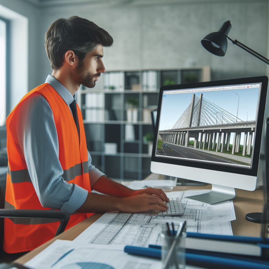
BIM auditing is recommended for large-scale, high-investment construction projects because it provides the project team with a more objective view of the project, ensuring the development of a model that complies with international standards of quality, accuracy, and coordination required for efficient execution.

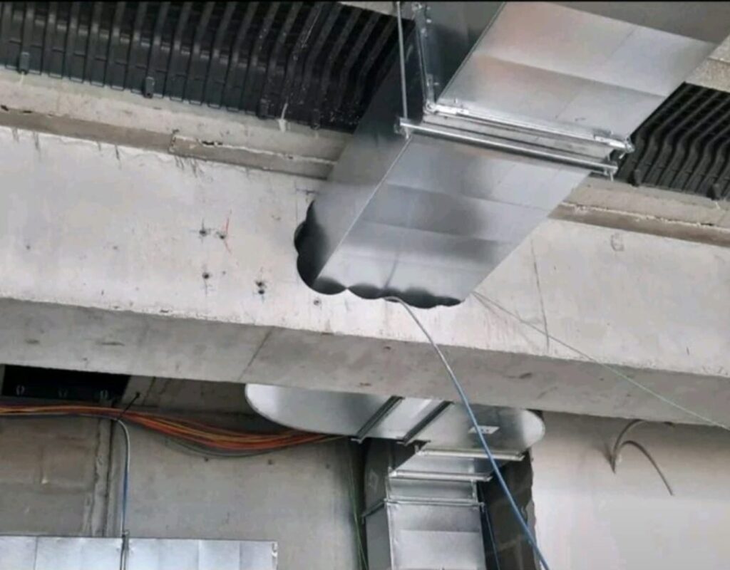
Most problems in BIM-based projects do not originate during construction, but much earlier, when modeling errors are made due to incomplete information, poor coordination between disciplines, or failure to comply with established standards. These issues often result in cost overruns, project delays, contractual disputes, and rework that negatively affect the project’s profitability.

BIM Auditing makes it possible to identify and correct these issues before they impact construction. Through an independent technical review of the digital model, we verify that the information is consistent, properly structured, and compliant with international standards as well as the client’s specific requirements, providing a reliable foundation for the construction, operation, and maintenance of the asset.

What Types of Projects Benefit from BIM Auditing?

BIM Auditing is recommended for large, complex, and high-investment projects involving professionals from multiple disciplines (architecture, structural engineering, electrical engineering, and plumbing). The BIM auditor verifies that all project information is complete, including:

  • Complete element attributes.
  • Well-structured, error-free data.
  • Information aligned with the client’s objectives.

More specifically, we recommend implementing BIM Auditing in the following types of projects:

  • Hospitals and healthcare facilities.
  • Airports and transportation terminals.
  • Shopping centers.
  • Corporate office buildings.
  • Hotels and tourism complexes.
  • Universities and educational institutions.
  • Industrial plants and manufacturing facilities.
  • Mining and energy projects.
  • Road, railway, and public infrastructure projects.
  • Logistics centers and warehouses.
  • Data centers and highly complex technology buildings.
  • Large-scale real estate developments.

The Role of the BIM Auditor

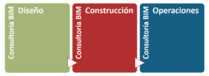
The BIM auditor also serves as a quality control specialist, ensuring that the digital information is genuinely useful as a management tool throughout the entire lifecycle of the infrastructure or building. This process validates that project deliverables meet the expected quality standards, from the design stage through operation and future improvements to the facility or infrastructure.

consultoria bim en fases de proyectos

ISO 19650 Standard

Through BIM Auditing, we ensure that your models achieve a level of quality aligned with internationally recognized standards, particularly ISO 19650.

As part of our auditing service, we verify that both the models and the associated documentation comply with the requirements of the standard by evaluating aspects such as information organization, file naming conventions, element classification, collaborative workflows, and document control.

Compliance with this international standard increases information traceability, reduces errors resulting from poor document management, and improves outcomes in public and international projects that require globally recognized standards. This provides greater confidence to owners, designers, contractors, and operators while promoting transparency among all stakeholders and reducing project risks.

What Does a BIM Audit Cover?

1. Standards Compliance

The audit first verifies that both the project team and the deliverables comply with BIM standards such as ISO 19650, PAS 1192, and applicable local standards. It also checks adherence to established naming conventions and coding systems.

2. Model Evaluation

This stage evaluates:

  • Design quality.
  • Level of Detail (LOD).
  • Architectural consistency.
  • Coordination between disciplines.
  • Clash detection.
  • Element integration.

3. Data and Metadata

Verification of the correct labeling of the model structure and the information associated with each element, including names, properties, parameters, and other relevant data, ensuring that all metadata has been properly assigned.

4. Interoperability and Performance

This phase evaluates the proper interoperability configuration of software platforms such as IFC, Revit, Archicad, Navisworks, and others.

5. Version Control

Version control is essential, especially for multidisciplinary teams that require a consistent working methodology to prevent information loss, a common issue in collaborative multi-user environments.

6. Model Organization

The auditor reviews the internal organization of the model, including view types, template management, element organization, file optimization, as well as the overall size and performance of the BIM file.

7. Contractual Aspects

Finally, the audit verifies the assignment of responsibilities and project roles to ensure contractual obligations are clearly defined and fulfilled.

As you can see, BIM Auditing is a process that requires not only technical BIM expertise but also the systematic application of proven methodologies to ensure an internationally recognized level of quality in your projects.

If you are looking for a company specialized in BIM Consulting and BIM Auditing, do not hesitate to contact Acero Estudio, a BIM Modeling Company. We specialize in providing services for the architecture, engineering, and construction industries and are ready to support your projects.

Topography and Geodesy in Mega Projects: The New Central Highway

estudios topograficos para la nueva carretera panamericana

The New Central Highway of Peru is one of the most ambitious infrastructure projects in the country’s history. Its construction will require an investment of more than S/ 24 billion soles and will feature a four-lane width designed to reduce travel time between the coast and the central region of the country from six hours to just two and a half hours.

This mega-project will also span the regions of Lima and Junín, connecting the coast, highlands, and jungle of Peru with a total length of 185 km of roadway, 33 km of tunnels, and 19 km of elevated viaducts with various retaining walls. This is of great importance for boosting the national economy and trade by reducing logistics costs and improving connectivity with the Port of Callao and the future Port of Chancay.

THE IMPORTANCE OF TOPOGRAPHY IN THIS MEGA-PROJECT

For an investment of this scale and significance to be properly executed and long-lasting, it is essential to carry out high-level topographic and geodetic studies. Topography allows us to understand the terrain’s features and elevations so that architects and engineers can develop plans with full awareness of risks and structural requirements. It is also crucial to identify geological risks to optimally design the layout throughout the entire length of the highway.

nueva carretera central

A CHALLENGE ACCEPTED

Participating in this project has been a challenge for Acero Estudio—one that demands a substantial deployment of human, technological, and logistical resources. Thanks to our experience in a wide range of projects, we have successfully mobilized highly trained personnel to hard-to-reach areas, many with steep slopes and associated safety risks.

To minimize human risk and collect high-quality data in inaccessible zones, we use cutting-edge technology including drones equipped with various sensors, as well as high-precision total stations.

These tools are complemented by our data recording systems and the meticulous planning carried out by our management team.

At Acero Estudio, we are proud to contribute to the country’s development through our topographic services on large-scale projects such as the New Central Highway. We also offer our capabilities for smaller projects. Whether it’s a national highway or a local development, we provide specialized services in topography, geodesy, and drone-based surveys with the same level of quality and professionalism.

And remember, if you need any topographic survey, we are at your service. Contact us today.

The Role of Topography in Urban Planning

topografia poligonal en calle inundada

While it’s true that many cities grow in a disorganized manner, smart urban planning helps create a better environment in areas such as traffic management, drainage system development, recreational space preparation, and infrastructure.

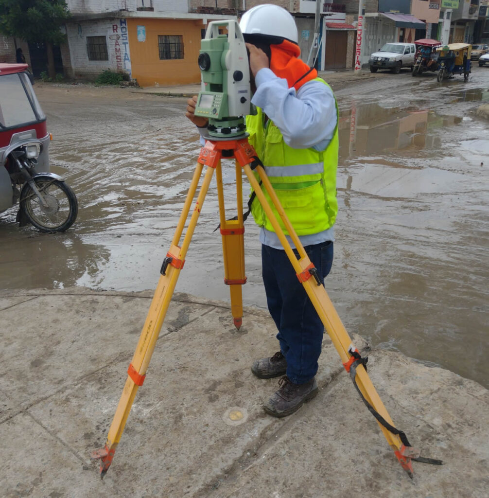
To develop and design plans for these and other key aspects, topography plays a crucial role by enabling decision-makers to create organized urban development and growth plans that help mitigate risks such as:

Risks Mitigated by Topography

  • Natural risks like flooding, through the analysis of potential water flow paths.
  • Landslide risks, by evaluating slopes and conducting soil studies.
  • Risks of disorganized urban expansion, which can cause traffic congestion, pollution, and other problems.
  • Urban planning also allows communities to maximize development potential—economically, socially, culturally, and spatially – by properly designating land use and space.

When proper urban planning is not applied, environments can become unsafe. A flood, for example, can destroy a city’s economic progress and its future potential. That’s why incorporating topography into urban planning is a fundamental step—especially as natural disasters become more frequent and intense due to climate change.

Contact Acero Estudio, a surveying company, and let’s talk about our topographic services. Our expert engineers are ready to support your development plans through precise and professional topographic surveys.

5 Important Applications of Surveying Services

importantes aplicaciones de los servicios de topografia

Topographyc surveying is one of the most important disciplines before undertaking any civil or infrastructure project. This field of study, essential for the planning and execution of projects across a wide range of sectors, has numerous practical applications. Here are five key applications of topographic surveying:

Building Construction

In the construction sector, surveying is extremely useful for determining the exact location and orientation of structures. Surveyors help ensure that a building is constructed in the correct location and within the legal boundaries of the land. Additionally, they provide information about the land’s slope, which aids architects in designing structures that take advantage of the terrain’s characteristics, minimizing environmental impact and reducing the amount of earthwork required.

Infrastructure Development

National infrastructure such as roads, bridges, hydroelectric plants, wind or solar farms, ports, and other public works are significant investments for the state. For this reason, surveying services are vital for minimizing risks and increasing the chances of successful execution.

Understanding the terrain helps avoid building in hazardous locations, such as steep slopes, flood-prone areas, or hidden water channels.

Agriculture and Natural Resource Management

Agriculture is becoming increasingly professional, and the use of topographic surveying is more common in understanding soil characteristics and determining slopes. This information is essential for designing irrigation channels, implementing drip irrigation systems, and planning crop distribution and water usage strategies to optimize natural resources like soil and water.

It’s worth noting that companies like Acero Estudio, specialists in topographic services, can now perform broader and more precise measurements in shorter times thanks to the use of drones, photogrammetry systems, total stations, and more.

Water Management and Control

Surveying supports the planning of drainage systems, dams, dikes, and canals to control flooding, prevent erosion, and manage water resources efficiently.

Energy Generation Facilities

For the location, installation, and/or construction of these large-scale facilities, a deep understanding of the terrain, its slope, and the elevation of various areas within a single site is necessary.

Hydroelectric Energy: In hydroelectric projects, slope measurements help calculate water velocity and design the infrastructure accordingly.

Wind/Solar Energy: In these cases, surveying helps determine terrain inclination to appropriately position energy generation elements—for example, adjusting solar panels to the sun’s angle or placing wind turbines based on terrain geography.

These examples are just the tip of the iceberg in a discipline widely used not only by governments and corporations but also by individuals seeking to build homes or businesses looking to develop custom facilities. If you’re interested in learning more about our drone (UAV) surveying services, don’t hesitate to reach out.

Contact us today to learn more about our surveying services and consulting for the construction sector, we’ll be happy to assist you.

How Do We Avoid Construction Clashes with BIM Clash Detection?

clashes in construction

Construction projects involve various levels of complexity, and in some cases, human errors, lack of coordination among stakeholders, or other factors can lead to mistakes that cause project delays, lower quality outcomes, and a decrease in overall profitability.

In the construction world, many of these interference issues between structural elements are known as clashes. In traditional construction, they occurred frequently—until the arrival of the BIM methodology and its powerful Clash Detection function.

What is BIM Clash Detection?

BIM Clash Detection is a feature that helps identify interferences between structural elements within a project during the modeling phase—that is, before construction begins. This prevents costly construction errors that could lead to technical issues or budget overruns.

Moreover, since the collaborative model is updated in real time, any clash can be detected early by all involved parties—from structural engineers to sanitary professionals and electrical technicians. It’s important to remember that BIM is not a magical system; it’s a working methodology that helps reduce errors through better coordination.

Benefits of Applying Clash Detection

  • Reduction of changes during construction
  • Minimizes conflicts or overlaps between systems
  • Prevents errors, helping reduce execution time and cost overruns
  • Less friction and better coordination between teams

Why Work with a Specialized BIM Consultant?

Working with a BIM consulting firm like Acero Estudio provides a significant advantage in process efficiency. Our team analyzes your project using the right tools, ensuring your team’s involvement and adoption of the methodology—ultimately improving the project’s viability and ROI.

If you’d like to learn more about our BIM services, contact us. We’re here to support you.

Techniques to Boost Your Productivity in REVIT

acelera tu productividad en bim

As we always say, BIM methodology is here to stay—revolutionizing construction processes for the better. However, the high levels of precision and quality delivered by BIM models can sometimes require additional time, potentially extending architecture and construction workflows. For this reason, REVIT includes advanced BIM tools that allow teams to work smarter by reusing elements, accelerating workflows, and generating models based on previous creations.

Below, we present three key techniques we use at Acero Estudio to speed up BIM projects without compromising on excellence.

1. Reusable Components

The Reusable Components library allows the creation of a wide range of families, construction details, and configurations that have already been developed and can be integrated into new models with different designs. These elements often require only minor updates and offer significant time savings in the creation of:

  • Standard architectural details

  • Repetitive equipment (furniture, lighting, etc.)

  • View templates

This library enables major time savings during modeling, the development of customized architectural styles, and a lower margin of error compared to using non-validated elements. Reusing components does not affect quality—on the contrary, it allows for continuous improvement of the elements, since they are properly tested, updated, and reliably used across projects.

2. Linked Models

Linked Models make it possible to divide a large project into several layers, each assigned to a specific discipline. For example, a complex project can be separated into different REVIT files, assigned to specialized teams (architecture, plumbing, electrical systems, etc.). These models are then linked together for simultaneous progress and collaboration.

Key benefits of using linked models include:

  • Time savings

  • Better and more objective coordination

  • Early detection of clashes or interferences

3. Dynamo for Automation

Dynamo is a visual programming tool integrated within REVIT. It allows users to automate complex or repetitive tasks without requiring traditional coding. Dynamo enables automatic generation of repetitive elements and streamlines tasks such as area/quantity takeoffs and geometry or code compliance checks.

Its main benefits include:

  • Saves hours of manual work

  • Minimizes human error

  • Provides greater control over design and data

If you’d like to learn more about our BIM consulting and modeling services, we invite you to contact us at Acero Estudio. We have the right tools to accelerate your workflows and boost your productivity. We’re here to support your success.

How We Accelerate Our Topographic Surveys with 3D Laser Scanning

estudio de topografia con laser escaner 3d

Traditional surveying techniques are being enhanced by new technologies like 3D laser scanning. Advances such as this allow us to capture the geometry of terrain or objects with high precision through the emission of laser pulses.

Its operation is based on the principle of active remote sensing, which involves emitting radiation that is then analyzed by various sensors receiving the reflected signals to determine distances. In the construction and architecture sectors, where projects seek to optimize time, this technology improves efficiency, increases accuracy, and provides a fast and detailed alternative to conventional methods.

SPEED WITH PRECISE MEASUREMENTS

Compared to conventional surveying, which relies on equipment like total stations and high-precision GPS while also being prone to human error, 3D laser scanning enables faster surveys with a higher density of data points and minimal interference. While traditional techniques require point-by-point surveying, laser scanning generates clouds of millions of points in minutes, resulting in a highly detailed and precise three-dimensional representation. Additionally, it reduces the likelihood of human errors and minimizes the need to return to the site for additional data collection.

BETTER DATA PROCESSING

When it comes to data processing and its conversion into models, the benefits continue. The results obtained through 3D laser scanning optimize data processing, enabling the creation of dense digital models (more complete point clouds) of the terrain and three-dimensional representations ready for analysis in specialized software in a shorter time.

In other words, the workflow is streamlined—from data collection to processing and model generation. Every step leads to improved efficiency, cost savings, and time reduction, prompting us to rethink work methods and always offer the best techniques to benefit your company.

If you’re looking for innovative solutions in surveying services, Acero Estudio, a leading surveying company in Spain and Peru, is the ideal provider for your project. We specialize in topographic surveys using 3D laser scanning and offer consulting and surface analysis services for the construction and architecture sectors.

Contact us today to provide you with tailored solutions and optimize your projects with cutting-edge technology.

Geomatics and Its Studies: Photogrammetry, Topography, Geodesy, and Cartography

geometic and its studies photogrammetry, topography geodesy an cartography

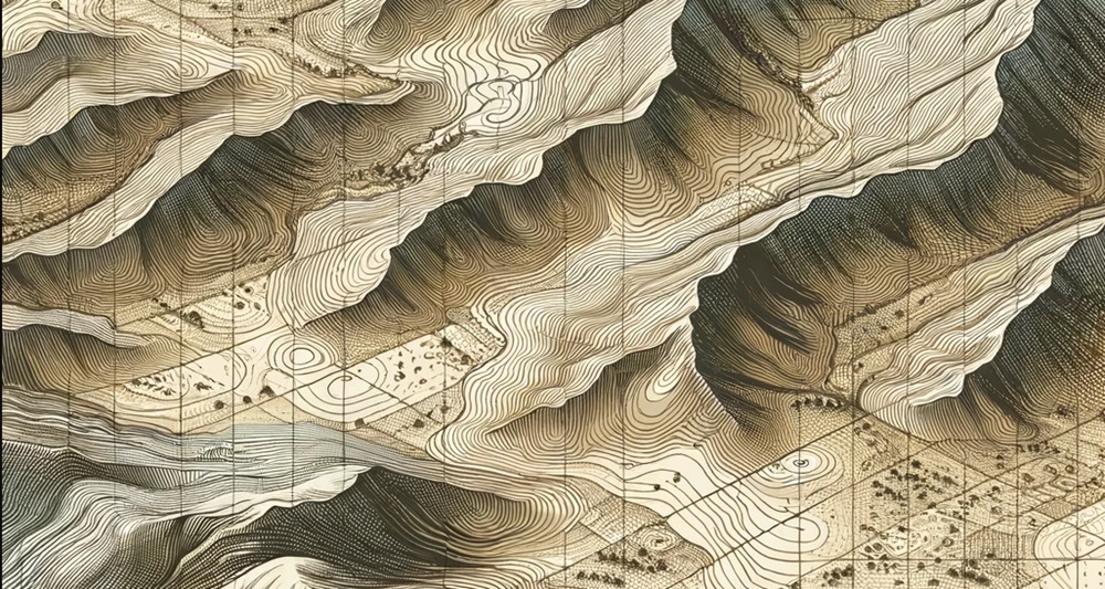
Geomatics is a broad field of study that encompasses various disciplines dedicated to the study and representation of the Earth’s surface. These disciplines emerged throughout history out of the need to measure and accurately represent the world.

From ancient Egyptian and Greek civilizations, which used rudimentary tools for land measurement, to more recent times when methods were refined with instruments like the theodolite, these disciplines have evolved alongside technological advancements. Today, thanks to digitalization, the use of drones, 3D laser scanners, and satellites, geomatics has reached an unprecedented level of precision and applicability.

Application Fields of Geomatics Disciplines

The study of land, terrain, and its characteristics is applied in various sectors such as civil engineering, construction, mining, urban planning, and environmental management. These studies provide detailed terrain information for infrastructure design, environmental impact assessments, and project optimization. Additionally, technologies such as drones and Geographic Information Systems (GIS) have significantly improved the collection and analysis of spatial data, making decision-making more efficient.

Although all these disciplines are related, each has its specific focus:

  • Photogrammetry is based on capturing images to obtain three-dimensional information about the terrain. In this field, Acero Estudio offers specialized drone photogrammetry services, providing an efficient and highly accurate alternative.

  • Topography measures and precisely represents the characteristics of a land surface in specific areas. If you need topographic surveying services, contact us—you will be amazed by our portfolio of completed topographic projects.

  • Geodesy studies the Earth’s shape and dimensions as a whole, allowing for the creation of geographic coordinate systems.

  • Cartography focuses on the visual representation of geospatial information through maps and plans.

As you can see, we offer services covering the main geomatic studies. If you need assistance in this field, contact Acero Estudio we are your best alternative for high-precision studies, providing innovative solutions with cutting-edge technology.

Contact us to learn how we can optimize your project with our tools and expertise.

Sectors and Applications Where CAD Remains Essential

bim vs cad

While it is true that the BIM methodology has experienced significant growth and momentum within the construction and architecture community, Computer-Aided Design (CAD) remains indispensable in multiple areas where 2D design, technical precision, and compatibility with industrial processes are priorities. Below are the main sectors where CAD continues to be essential, along with its specific applications:

Civil Engineering and Infrastructure Sector

  • Topographic plans, cross-sections, and structural detail drawings are still developed using CAD.

  • CAD remains widely used for the design of roads, bridges, and sewer networks.

  • 2D modeling of foundations, retaining walls, and steel structures is a common practice in this field.

Architecture and Construction

Although BIM now dominates this sector, CAD is still relevant for specific tasks, such as:

  • Development of detailed 2D architectural plans.

  • Creation of construction details, plumbing, and structural installations.

  • Fast editing and modification of plans in the early stages of design.

As you can see, BIM is growing, but CAD remains crucial in industries where 2D precision, manufacturing integration, and compliance with technical regulations are fundamental.

If you need BIM consulting or CAD outsourcing services, Acero Estudio is at your service. Contact us today to learn more about our solutions.

The Use of 3D Laser Scanning in Topographic Surveys

servicio de topografia con escaneo laser

The evolution of measurement technologies is opening new possibilities in terms of efficiency, speed, and accuracy. One of these technologies, which Acero Estudio offers as part of its topographic services, is 3D laser scanning, a highly effective tool that provides significant advantages over traditional methods such as total stations. Its ability to generate detailed terrain models with a density of more than 1,000 points per square meter in a short period (~30 min) makes it an ideal solution for large-scale and highly complex projects.

Greater Accuracy and Speed in Data Collection

Unlike surveys conducted with a total station, which require point-by-point measurements and long periods to cover large areas, 3D laser scanning enables massive data capture with exceptional speed. In projects involving road infrastructure, buildings, or urban surveys, this system generates detailed three-dimensional models, reducing the margin of error and optimizing the planning and execution of works. Additionally, as the size of the study area increases, the difference in execution time between both methods decreases, making laser scanning the preferred choice for large-scale projects.

Applications and Benefits of Laser Scanning in Topography

The 3D laser scanning system has a wide range of applications in engineering and geodesy. Its use is not limited to topographic surveys but has also been implemented in various sectors, such as:

  • Geodetic surveys of linear structures, such as roads, bridges, and tunnels.
  • Surface and terrain modeling, generating high-precision digital models.
  • Infrastructure inspection for deformation detection and structural stability analysis.
  • Archaeological, cultural, and architectural studies, facilitating documentation and heritage conservation.
  • Delineation and monitoring of water bodies, allowing the evaluation of changes in the level and shape of rivers, lakes, or reservoirs.
  • Slope stability analysis and geotechnical risk assessment, crucial in landslide-prone areas.

Thanks to its ability to capture detailed and precise information in record time, 3D laser scanning is expected to completely replace traditional total station measurements in many projects, improving efficiency and reducing operational costs.

Key Differences Between Laser Scanning and Total Stations

While total stations remain a useful method in certain scenarios, 3D laser scanning stands out for offering faster, more detailed, and digitized measurements. The main differences between the two methods include:

Aspect 3D Laser Scanning Total Station
Capture speed High, massive scanning in minutes Slow, requires point-by-point measurements
Data density >1,000 points per m² Individual point measurements
Level of detail High, generates precise 3D models Limited, depends on captured points
Data processing Automated and fast Manual and more labor-intensive
Applications Wide (engineering, archaeology, inspection) Mainly in traditional surveys

Both methods can be used in various fields of engineering and geodesy, but 3D laser scanning is emerging as the future technology for topographic surveys, terrain modeling, and infrastructure monitoring, offering an unparalleled level of detail and efficiency.

If you want to learn more about our topographic surveying, geodesy, or 3D laser scanning services, do not hesitate to contact us.

Reference

Advantages of Laser Scanning Systems for Topographical Surveys in Roads Engineering. The Baltic Journal of Road and Bridge Engineering, 11(2):153-159, June 2016. DOI:10.3846/bjrbe.2016.18. License CC BY.

Nuestra web está en reestructuración. Agradecemos su comprensión si algún componente del sitio no funciona correctamente. Para contactarnos escríbenos a: info@aceroestudio.com