Advantages of using drones in construction
Advantages of using drones in construction The use of drones for construction management has been [...]
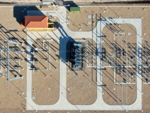
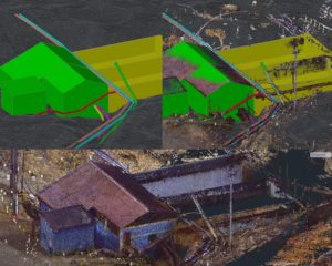
Optimize costs using geospatial 3D scanning and drone technology: precise volumetric analysis.
Acero Estudio’s team participated with its experience in data capture using the 3D laser scanner, [...]
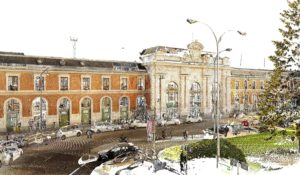
Laser Scanner in Cultural Heritage Management
Use of 3D Laser Scanner for inventory of cultural assets, an incalculable added value. The [...]
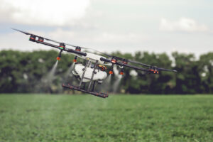
Agriculture from the air
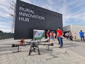
We have had the opportunity to participate in the Conference “Agriculture from the air: multidisciplinary [...]
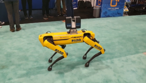
Drones, transversal tools beyond the AEC sector
The technological advances of drones make their use multidisciplinary. Today, its integrated technology has allowed [...]
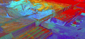
The 3D laser scanner like never before seen
Capturing the environment using a 3D laser scanner sometimes becomes an arduous task due to [...]
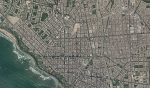
Conceptual study for the improvement of pedestrian accessibility in metropolitan station
The Acero Estudio team in Peru carried out the geodesy work, drone flight and restitution [...]
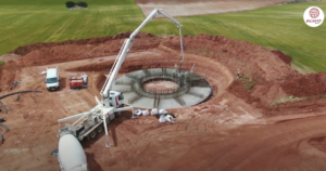
Supervision of progress of works with drones
The monitoring and inspection of works with drones is being implemented as a valuable tool [...]
Geodesy, drone flight and laser scanning: Minera Volcan, Cerro De Pasco
Technical File for the Expansion of the Neutralization Plant, Minera Volcan, Cerro De Pasco The [...]
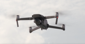
The drone, our great ally in aerial photogrammetry
The photogrammetric flight with a drone is one of the most used techniques currently in [...]
