While it’s true that many cities grow in a disorganized manner, smart urban planning helps create a better environment in areas such as traffic management, drainage system development, recreational space preparation, and infrastructure.
To develop and design plans for these and other key aspects, topography plays a crucial role by enabling decision-makers to create organized urban development and growth plans that help mitigate risks such as:
Risks Mitigated by Topography
- Natural risks like flooding, through the analysis of potential water flow paths.
- Landslide risks, by evaluating slopes and conducting soil studies.
- Risks of disorganized urban expansion, which can cause traffic congestion, pollution, and other problems.
- Urban planning also allows communities to maximize development potential—economically, socially, culturally, and spatially – by properly designating land use and space.
When proper urban planning is not applied, environments can become unsafe. A flood, for example, can destroy a city’s economic progress and its future potential. That’s why incorporating topography into urban planning is a fundamental step—especially as natural disasters become more frequent and intense due to climate change.
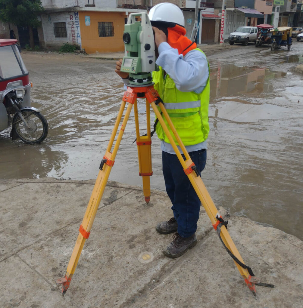
Contact Acero Estudio, a surveying company, and let’s talk about our topographic services. Our expert engineers are ready to support your development plans through precise and professional topographic surveys.
