Triangulation is a traditional surveying technique that allows us to measure distances and angles on the Earth’s surface. However, it has been gradually replaced by more modern surveying techniques that utilize GNSS technology, drone surveying, etc.
Although the use of traditional surveying has decreased, it is still necessary in some cases where satellite technology is absent or where population density requires it. Here are some key points on the importance of topographic triangulation:
Provides Accuracy in Measurement
This technique allows us to measure distances from the projected vertices of triangles and calculates the sides using trigonometric formulas. This type of measurement is ideal for large areas in construction projects, agriculture, or urban planning that require precise data.
Allows for Defining Control Points
Through triangulation, it is possible to define geodetic control points that will be useful for future measurements. These points are also highly useful as references for integration with previous work in a unified system.
Covers Large Areas
As mentioned, there are more modern techniques for developing large areas than triangulation (check our surveying services); however, in cases where technology is lacking, triangulation is particularly useful for studying large tracts of land.
Serves as a Basis for Navigation Systems
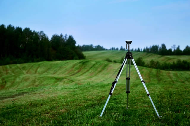
The technique of triangulation has been fundamental in the development of both terrestrial and maritime navigation systems. Even today, in the GPS era, triangulation continues to be used for the calibration and verification of these systems.
Applications in Geodesy and New Technologies
Geometric triangulation measurements can be integrated into geodetic systems, making them ideal for cartography and the development of scientific knowledge related to plate tectonics and geophysics.
Additionally, remember that triangulation adapts well to integration with new technologies such as GPS, drones, and geographic information systems, further improving the precision and efficiency of topographic surveys.
Learn more about these types of services on our website, Acero Estudio, and remember that we are specialists in surveying and consulting services for the architecture and construction sector.
