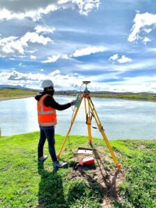
Conducting a topographic survey requires flexibility and adaptation. In addition to having experience, the surveying team must undertake proper planning, select the right technology, and schedule a work scheme according to the objectives of each project.
Below, we will explore the factors that influence the execution of a topographic survey. Always remember that these guidelines are relative, and while we attempt to generalize them for study purposes, nature almost always has more than one capricious characteristic that will require the ingenuity and initiative of the survey teams in charge.
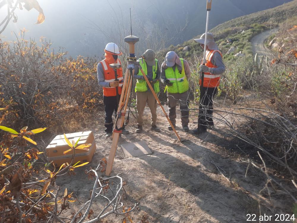
Vegetation Factor
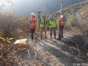
The density of vegetation is a crucial factor in conducting a topographic survey. In densely vegetated areas such as forests or jungles, carrying out a topographic survey becomes an arduous task.
Similarly, ground cover such as grass or weeds affects data accuracy. Trees, both coniferous and deciduous, can complicate the use of aerial sensors since the density of the cover and the resolution of the required product will determine the technology to be used. Acero Estudio suggests the use of LIDAR for greater accuracy in results.
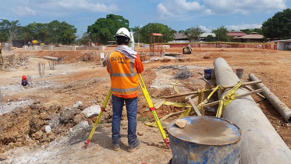
Construction Factor
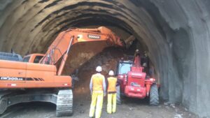
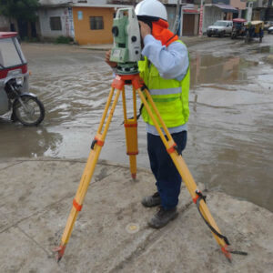
Houses, buildings, bridges, overpasses, and other man-made structures affect a topographic survey because they obscure natural terrain features such as slopes and water runoff areas.
Surveyors must use photogrammetric techniques in areas with constructions. It is worth noting that in areas with tall buildings and little space between them, it is more complicated due to the greater overlap of images.
Water Factor
The presence of water in the study area demands the use of specialized technology. In some cases, LIDAR is recommended; however, this technology has certain limitations beyond a certain depth. Additionally, in some places, the coastline changes throughout the day, hindering the work.
Besides the factors imposed by nature, there are other intrinsic factors of the surveying discipline that can present challenges.
Technology Precision Limitations
Not all instruments are suitable for all areas or conditions. For example, drone surveying can be inaccurate in densely vegetated areas where LIDAR technology is more recommended.
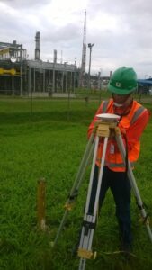
Instrument Position Accuracy
This factor is influenced by the experience of the surveying team, who must handle the instruments proficiently. These “flight hours” will impact the quality and accuracy of the survey, as well as the speed of completion.
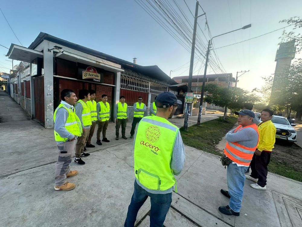
Why Acero Estudio is Your Best Choice for Surveying Services
We are experts in conducting topographic surveys on any type of terrain and extension because we have a team of engineers specializing in topography, equipped with total stations, advanced sensor drones, and LIDAR technology, among others. This allows us to work in any type of geography, regardless of difficulty.

Visit our website for more information and request our surveying services, available in Peru and Spain. We are here to help you carry out your projects with the highest precision and efficiency!