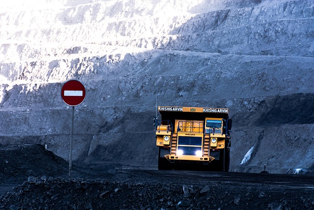
Modern mining, which processes hundreds of tons each day, requires precise and reliable information to ensure safety, optimize resources, and plan large-scale operations. Thanks to the use of advanced laser sensors that can be integrated into drones, LIDAR captures millions of 3D points and generates detailed digital terrain models.
Large-Scale Topographic Surveys
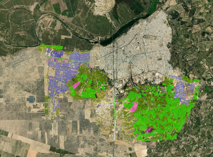
One of the greatest benefits of LIDAR in mining is the ability to carry out topographic surveys of vast areas in a short time. In the past, a team of surveyors working with traditional instruments was necessary, but today LIDAR technology provides up-to-date information to plan new explorations, optimize access, and design open pits quickly through:
- Point collection with drones
- Data processing with specialized software
- Generation of topographic maps and delivery to stakeholders
- Volume and Material Management
LIDAR’s accuracy in data collection allows mining companies to calculate extraction volumes after just one workday, enabling ore grade calculations and income projections that are essential for operational and financial planning.
Slope Monitoring and Operational Safety
Another critical aspect for operational stability in mining is verifying slope stability. LIDAR technology enables the creation of geotechnical models that identify deformations, movements, and landslide risks. This contributes to safer operational management while reducing personnel exposure to hazardous areas.
3D Digital Models for Mine Planning
Beyond detailed terrain capture, LIDAR also generates 3D digital models that support mining planning. These models make it possible to simulate scenarios, analyze alternatives, and optimize the design of pits, access roads, and more.
- Key Benefits of LIDAR in Mining
- Higher accuracy compared to traditional surveying methods
- Time and cost savings in data capture
- Improved worker safety, by reducing the need to enter hazardous zones
- Comprehensive and up-to-date information, useful for exploration, exploitation, and mine closure
LIDAR in mining is now one of the most valuable technologies for improving efficiency, safety, and sustainability in operations. From volume control to geotechnical risk prevention, its applications offer a competitive advantage to companies seeking to optimize processes and ensure precision at every stage of a project.
If you want to learn more about our LIDAR services, contact us. We are Acero Estudio, a surveying company specialized in LIDAR, drone photogrammetry, and 3D laser scanning. We are at your service.