In this article, we will learn how the process of photogrammetry with drones, also known as aerial photogrammetry, works, a very important activity to generate models of large areas using drones with photography and georeferencing tools.
PROJECT OBJECTIVE DEFINITION PLANNING
Before starting the photo taking process, it is a priority to clearly define the objectives of the project. This involves determining what information needs to be obtained, such as creating a topographic map, monitoring the growth of an urban area, or surveying urban growth for planning purposes.
In this phase, the appropriate equipment and platforms for the project and the types of drones, cameras, necessary flight altitude, sensors that will be used to capture the images, etc. are selected.
FLIGHT PLAN ESTABLISHMENT
The flight route is planned that allows the necessary images to be captured. This involves determining flight altitude, speed, image overlay and number of passes over the area of interest.
Safety priority in aerial photogrammetry. Flight restrictions, airspace, weather, and other factors that may affect mission safety must be considered.
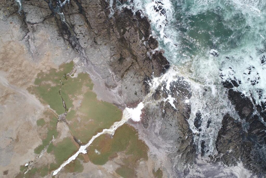
IMAGE CAPTURE PROCESS
During the flight, several series of high-resolution aerial images of the area of interest are taken. These images are taken from different angles and positions to ensure complete coverage.
Georeferences are generated for each image, which is the addition of precise geographic coordinates. This is achieved using global positioning systems (GPS) on board the aircraft and reference markers on the ground.
ORTHORECTIFICATION
This process serves to correct distortions due to the tilt and curvature of the Earth. Allows images to be overlaid correctly and used for accurate measurements.
Images are paired to create coherent 3D models and mosaics. Common reference points are used on the overlay images to align them correctly.
Digital models of the terrain will then be generated from the captured images. These models represent the elevation and topography of the Earth’s surface.
ANALYSIS AND MEASUREMENT
This phase can include the creation of topographic maps, the identification of changes in vegetation, the analysis of floods, among others.
The results of aerial photogrammetry are applied depending on the objectives of the project. For example, topographic maps are used in urban planning and civil engineering, while detecting changes in vegetation is essential in precision agriculture.
DELIVERY OF RESULTS
Aerial photogrammetry results are presented in a clear and accessible manner for interested parties. This can include maps, reports and 3D visualizations that help you understand and make decisions based on the data captured.
From urban planning to natural resource management, aerial photogrammetry continues to play an essential role in capturing and analyzing geospatial information. Contact Acero Estudio specialists in drone fleet services.
