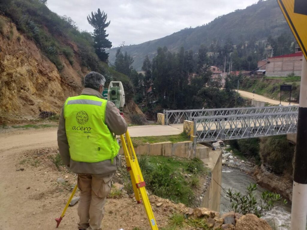
One of the most essential and versatile tools used in surveying services is the total station. In this article, we will explore in detail what a total station is and how it is used in surveying.
A total station is an advanced surveying instrument that combines several essential functions in a single device. Unlike traditional surveying instruments such as theodolite and scope, the total station is an all-in-one tool that allows surveyors to make accurate measurements of horizontal and vertical angles, as well as distances, heights and elevations. These measurements are made with remarkable precision, making it an indispensable tool in the field of modern surveying.
Components of a Total Station
Total stations consist of several key components:
- Theodolite: The theodolite incorporated in a total station is responsible for measuring horizontal and vertical angles with great precision. It allows surveyors to point to specific points on the ground and determine directions and elevations accurately.
- Distancemeter: Total stations are equipped with a distancemeter that uses laser or electronic technology to measure distances between the total station and the point of interest. This allows obtaining precise coordinates.
- Spirit Level: A spirit level built into the total station ensures that the instrument is perfectly level, which is essential for accurate angle and elevation measurements.
Screen or viewer: The total station generally has a screen or viewer where the collected data, such as angles, distances and coordinates, are displayed. Some modern total stations even have touch screens for a friendlier user interface.
Use of the Total Station in Topography
Total stations are used in a wide variety of surveying applications, including:
- Topographic Surveys: To measure the elevation, distance and direction of points on the Earth’s surface, allowing the creation of detailed topographic maps.
- Construction project control: In the planning and execution of construction projects, such as buildings, roads and bridges, to ensure that structures are built according to specifications.
- Property surveying and demarcation: To determine property boundaries and create accurate cadastral plans.
- Monitoring of deformations and changes: In geodetic studies to measure the deformation of structures or the movement of the ground over time.
- Geology and geophysics: In geological studies to determine the stratigraphy of the subsoil and in geophysical studies to investigate the properties of the terrain.
Advantages of Total Stations
Using a total station offers several advantages, such as:
- Greater precision: Allows highly precise measurements of angles, distances and elevations.
- Efficiency: Simplifies the measurement process by combining multiple functions in a single instrument.
- Speed: Facilitates obtaining data quickly and efficiently.
- Data Storage: Many modern total stations can store and transfer data electronically, simplifying further processing of the information.
The total station is an essential tool in the field of modern surveying. Its ability to make accurate measurements of angles, distances and elevations with efficiency and ease makes it an invaluable instrument in a variety of applications, from creating detailed topographic maps to planning and executing construction projects.
Its incorporation of cutting-edge technology has transformed the way surveying measurements are made and has significantly improved the accuracy of the results.


