Aerial photogrammetry is an essential tool for sectors that require detailed terrain mapping from an aerial perspective. Its applications are varied and encompass multiple areas, such as:
- Cartography: Creation of precise topographic maps.
- Urban planning: Efficient management of infrastructure construction.
- Civil engineering: Supervision and development of projects.
- Agriculture: Detailed analysis of soils and crops.
- Disaster management: Rapid and accurate assessment of affected areas.
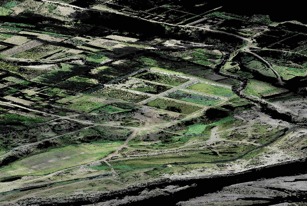
Currently, aerial photogrammetry relies on advanced technologies, with drone fleet (UAVs) being a key platform for capturing images from the air. Equipped with high-precision cameras and specialized sensors, these drones can cover large areas in significantly less time than traditional methods.
Moreover, advances in software have enabled the creation of digital 3D terrain models with remarkable precision. This software also facilitates the integration of data into Geographic Information Systems (GIS), enhancing analysis and decision-making in complex projects.
Some of the most notable benefits of aerial photogrammetry compared to other methods of territorial data capture include:
- Speed in obtaining information.
- High precision in the collected data.
- Capability to cover extensive areas with a high level of detail.
Unlike geodesy or traditional topographic surveys, which require more time and personnel in the field, aerial photogrammetry allows for measurements to be taken from the air in much less time without compromising accuracy. Additionally, the ability to generate three-dimensional models provides a more complete and useful view of the terrain, facilitating both planning and project execution.
If you are looking for high-quality aerial photogrammetry and topographic survey services, we invite you to get to know Acero Estudio. We specialize in the use of drones and advanced technology to provide precise and efficient solutions. Our team of experts, with extensive experience in drone piloting and data processing, is ready to help you generate valuable information for your projects.
Contact us, and let’s discuss how we can collaborate to maximize the success of your projects. We are at your service.
