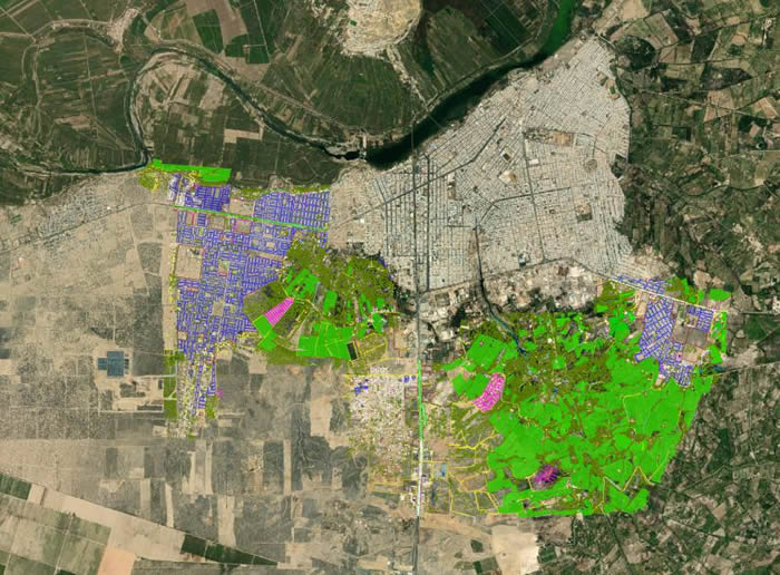
LIDAR (Light Detection and Ranging) technology has become democratized since the introduction of drones and their greater accessibility. This technology that uses laser pulses is highly reliable when it comes to capturing information about the environment. It has also been widely used in the management of natural disasters to apply mitigation measures in cases of earthquakes, floods, landslides and hurricanes.
One of the main applications of LIDAR is the assessment of geological risks. The models generated by LIDAR have high precision and help identify areas prone to landslides, land subsidence or geological faults that are not noticeable to the naked eye. These measurements allow authorities to take preventive measures to protect nearby cities or communities.
LIDAR technology is also used for flood monitoring. This is important in places where seasonal flooding occurs because due to climate change many flood-prone areas can overflow, generating major problems even with significant risks to the lives of the inhabitants of the affected areas. LIDAR scanning helps us facilitate emergency response actions and recovery planning.
Regarding earthquakes, LIDAR is used to evaluate structural damage and ground deformation caused by the telluric event. It also helps us determine if geological areas that represent risks to nearby populations have been affected.
It is worth noting that the accuracy of LIDAR sensors is effective even in areas of extensive vegetation, so the importance of this technology plays a vital role that governments and mitigation and prevention policy makers should take into account.
Contact Acero Estudio and request information about our LIDAR services, we are here to help you develop the potential of your projects.


