The growing concern for clean electricity generation sources means that wind energy generation continues to experience significant growth. For these reasons, the construction and installation of wind energy projects are works of great importance both for the investments they represent as well as for the benefits they bring to the cities they supply.
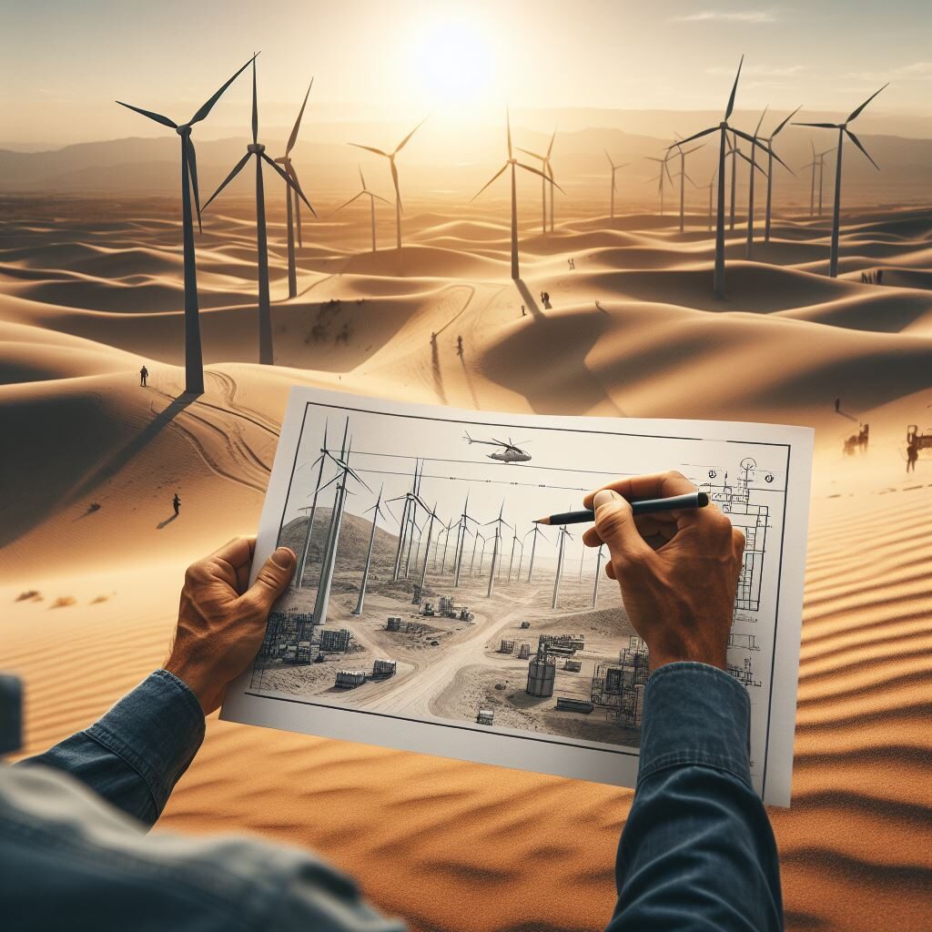
Obviously when it comes to wind, wind power plants must be installed in places where there is a deep understanding of the terrain. In this context, topography, together with advanced technologies such as aerial photogrammetry, BIM and 3D laser scanning, play a fundamental role in optimizing the installation of wind farms.
Efficient Design Depends on Accurate Data
Topography provides us with detailed information about the shape of the land, elevations, slopes and geological characteristics. Integrating this information with techniques such as photogrammetry allows for the creation of accurate three-dimensional models of the site, facilitating the design of efficient wind farms. The combination of topographic data and 3D models ensures a complete understanding of the environment, resulting in an optimized design of the turbine layout and its height to maximize wind capture.
Identification of Obstacles and Risks
3D laser scanning has become an essential tool for identifying potential obstacles in the terrain, such as buildings, vegetation and geological structures. This level of detail not only helps avoid problems during the construction phase, but also minimizes operational risks throughout the life of the wind farm. Anticipating and mitigating potential challenges contributes to the long-term safety and profitability of the project.
Project Planning and Management
The implementation of BIM in wind energy projects allows for comprehensive and efficient information management. From the design phase to construction and operation, BIM facilitates collaboration between different disciplines, improving coordination and reducing errors. Topography, when integrated into BIM models, offers a holistic vision of the project, improving decision making and optimizing resources.
Likewise, with the integration of 3D laser scanning and BIM (ask about our BIM consulting service) we can integrate simulations into the generated model that help us anticipate potential risks that affect the performance of the wind farm, such as the construction of surrounding buildings, etc.
In summary Acero Estudio‘s specialized focus on geography, architecture and construction analysis technologies allows your company to benefit from the integration of advanced technologies that will reduce risks, improve the economics of the project and guarantee its sustainability.
