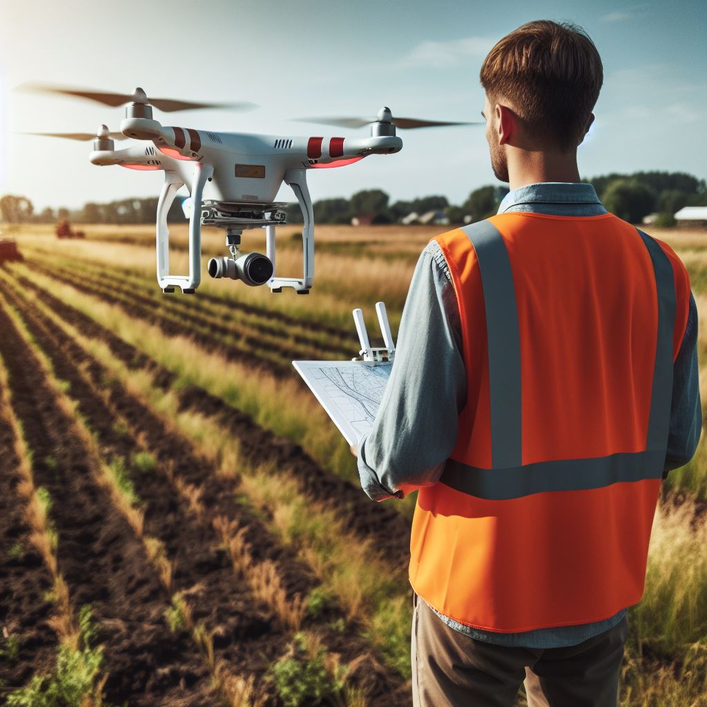
In recent years, drone surveying has gained prominence among surveying services due to its efficiency and accuracy. Various prestigious brands offer drones, equipped with specialized sensors and mapping technology, these tools facilitate the collection of detailed topographic data as well as data that can later be compared with already prepared plans or used to carry out other types of studies. This approach has proven valuable in topographic surveying, providing crucial information on elevations, slopes, and geographic features.
In addition to topographic surveying, drones are capable of generating three-dimensional models of the terrain. This 3D modeling capability not only makes it easier to visualize topography, but also improves analysis and understanding of the geographic environment.
Another notable application is surface change control. By carrying out periodic flights, drones make it possible to monitor alterations in the terrain over time, such as erosion, construction or any relevant modification.
In the field of project planning and design, topographic data obtained from drones is essential. Detailed information streamlines the decision-making process and contributes to efficiency in construction, engineering and agricultural projects.
Additionally, precision agriculture benefits greatly from drone surveying. These devices can perform elevation maps and analyze crop health, providing valuable data to optimize agricultural practices.
The most commonly used sensors in surveying drones include RGB cameras, multispectral cameras, LIDAR (Light Detection and Ranging) and ultrasound sensors.
Drone surveying offers significant advantages, such as reduced time and costs compared to traditional surveying methods. Additionally, the ability to obtain real-time data and flexibility in flight planning make this technology increasingly popular in various fields.
Contact us and request more information about our drone topography and aerial photogrammetry services, we are at your service.


