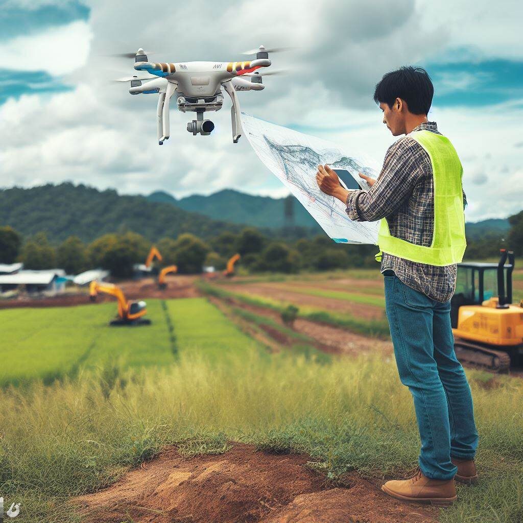
Drone photogrammetry is a technique that has gained a lot of popularity in various industries to perform precise mapping and measurements from the air. The process involves capturing aerial images and then processing them to create 3D models, maps and other representations. Here is a list of some of the most used software in drone photogrammetry:
Pix4Dmapper: It is one of the most popular software for processing aerial images captured by drones. It offers powerful algorithms to transform images into digital models and accurate maps.
Agisoft Metashape: It is known for its ability to efficiently process digital images and generate 3D spatial data, including terrain elevation models and orthomosaics.
DroneDeploy: Offers a cloud-based solution that allows users to not only capture images but also process them online to create 3D maps and models. It is designed to be easy to use and accessible to those who are not experts in photogrammetry.
Autodesk ReCap: This software uses photogrammetry to convert photographs and laser scans into detailed 3D models. It integrates well with other Autodesk products, making it popular in construction and engineering.
Bentley ContextCapture: Allows users to create high-fidelity 3D models from ordinary images, which can be especially useful for urban mapping and infrastructure projects.
3DF Zephyr: It is a software that reconstructs 3D models from photos automatically and is aimed at both beginners and advanced users due to its ease of use and comprehensive feature set.
OpenDroneMap (ODM): It is an open source solution for processing drone data. Provides tools to process aerial images and generate maps, 3D models and more.
Global Mapper: Although not exclusively for photogrammetry, it offers a wide range of spatial data processing tools, including drone photogrammetry.
Skyline Photomesh: Another robust software that transforms photos into 3D meshes, surfaces, and complete city models.
SimActive Correlator3D: Specifically designed for processing aerial images captured by drones, this software is used in cartography, construction and mining.
When selecting the right software for drone photogrammetry, factors such as ease of use, project specifics, compatibility with other analysis and design software, and the level of technical support available should be considered. Additionally, accuracy, processing power, and customization options are also crucial aspects to consider.
