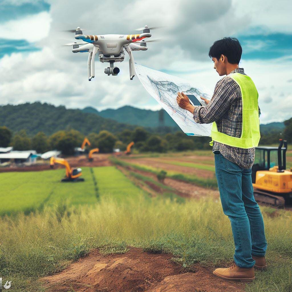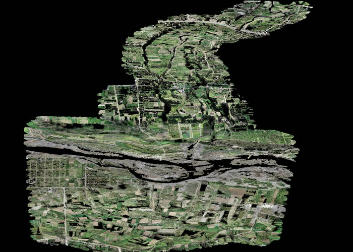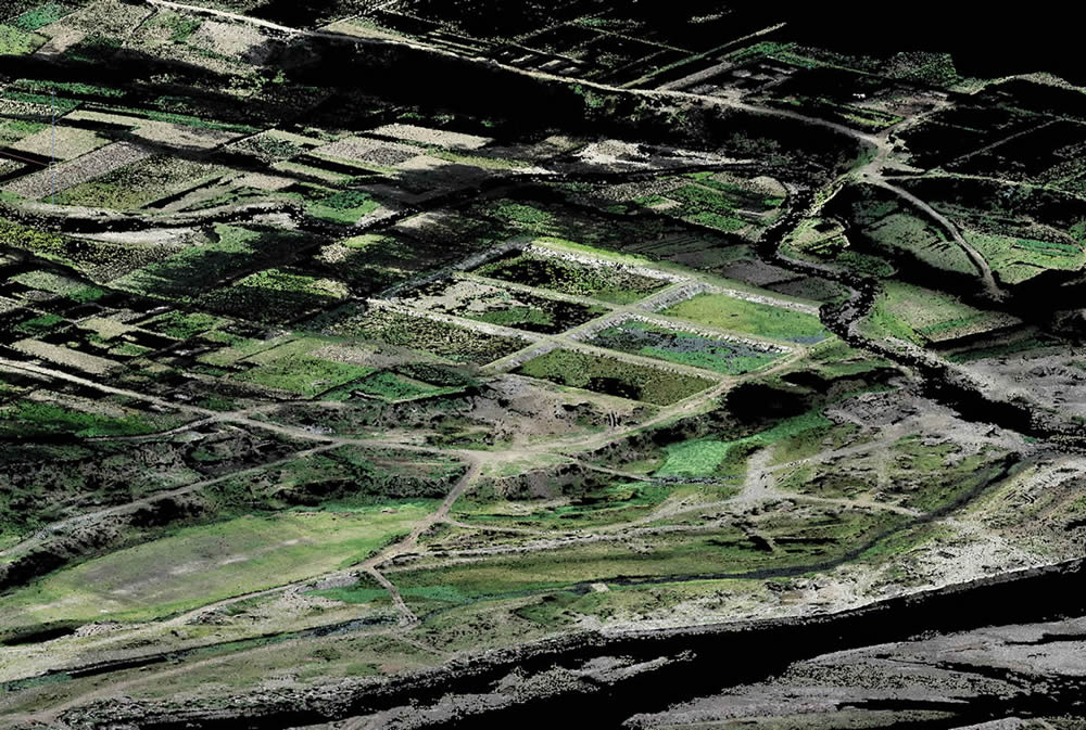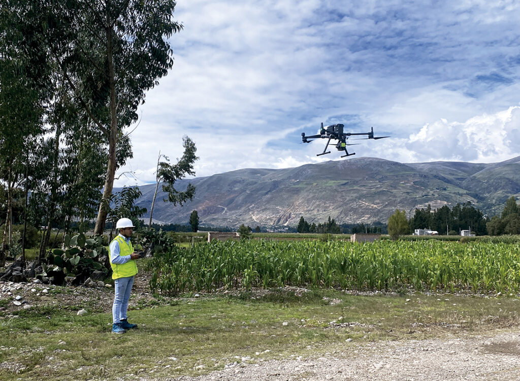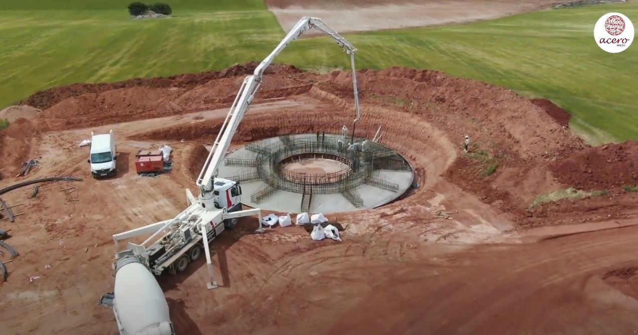
As you already know, Acero Estudio specializes in providing drone photogrammetry service. This technique that is normally used to measure, record and generate models of a surface becomes powerful when drones equipped with high-resolution cameras are used that can capture detailed images of inaccessible mining areas, providing a complete view of the terrain.
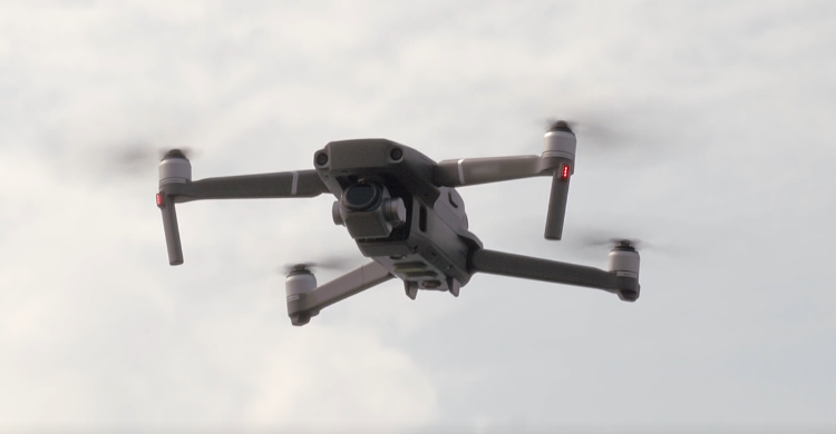
Exploration has taken a big step with the help of drones that allow us to reach areas previously inaccessible to ordinary geologists. Today, with powerful drones, equipped with long-lasting batteries and very high-resolution cameras, it is possible to achieve greater results in the mining prospection of a land.
Security Advantages
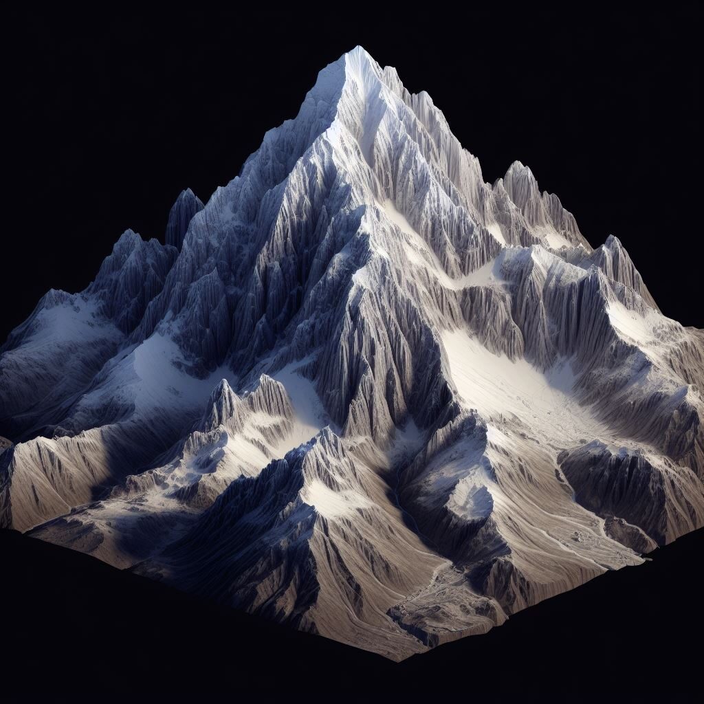
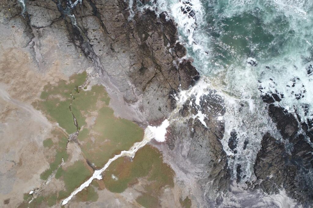
One of the limitations that geologists always had was access to inaccessible areas such as steep mountains or unstable terrain. Thanks to drones it is now possible to fly over dangerous and difficult-to-access terrain, obtain data from previously unreachable places.
Greater efficiency
Thanks to the ability to cover larger areas, aerial photogrammetry with drones is faster and less expensive compared to traditional aerial mapping methods. It is worth noting that there is software that allows evaluating the characteristics of the terrain to indicate the areas with the best perspectives.
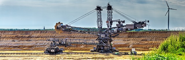
Around the world, the mining industry is adopting drones for various applications such as:
- Mapping of mineral deposits
- Environmental monitoring
- Mine Planning and Development
Contact us and we will help you integrate drone photogrammetry into your land analysis tasks, which will allow you to better understand your lands under exploration.