Topographic studies are essential for the construction of large-scale transportation infrastructures that require detailed information and cutting-edge technology. Topographic surveys, geodesy, and other related services help ensure the proper execution of each stage of a project. An emblematic example is the New Central Highway of Peru, one of the most ambitious infrastructure works in recent times, where topographic and geodetic studies are critical.
A Large-Scale Project to Connect Peru
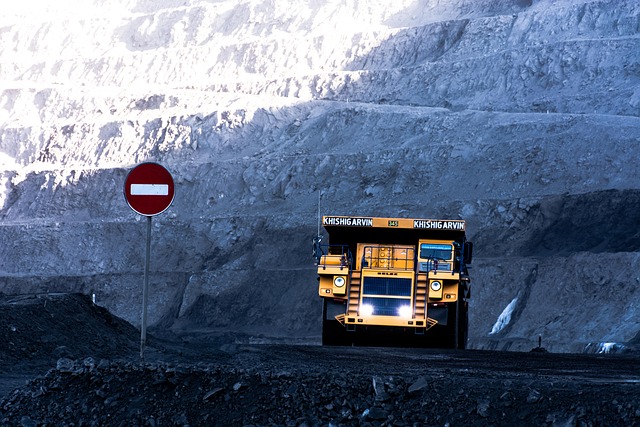
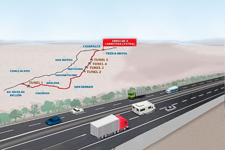
The New Central Highway will require an investment of more than S/ 24 billion and will extend 185 km, including 33 km of tunnels and 19 km of viaducts. This mega project aims to reduce travel time between the coast and the country’s central region from six hours to just two and a half, strategically linking the regions of Lima and Junín.
For a project of this magnitude, precise topographic information is indispensable. Every meter of land must be accurately surveyed, modeled, and georeferenced so that the design, engineering, and construction phases can be executed without deviations or cost overruns.
Topography and Geodesy: The Technical Foundation of the Project
In this type of project, topography forms the technical backbone, as it allows for the accurate understanding of the terrain’s physical characteristics: contour lines, slopes, geographical features, and surface details. Geodesy, on the other hand, provides the necessary spatial reference to ensure the absolute and relative position of each point within a global coordinate system.
The combination of these disciplines enables:
- Generation of high-precision digital terrain models.
- Definition of road alignments and axes that optimize layouts and reduce earthworks.
- Accurate positioning of complex structures such as tunnels and viaducts.
- Deformation control and progress monitoring during construction.
- Reduction of technical and economic risks, avoiding staking errors and delays.
Our Contribution to Large-Scale Infrastructure Projects
With decades of experience in topographic and geodetic surveys for complex infrastructure projects in both Peru and Spain, Acero Estudio deploys specialized teams and advanced technology such as:
- 3D laser scanning services to capture geometries through dense point clouds in seconds.
- Drone photogrammetry to cover large areas quickly and with high accuracy.
- LIDAR systems capable of penetrating vegetation to obtain precise terrain information even in forested or hard-to-access areas.
- High-precision GNSS equipment and total stations, ensuring exact geodetic references.
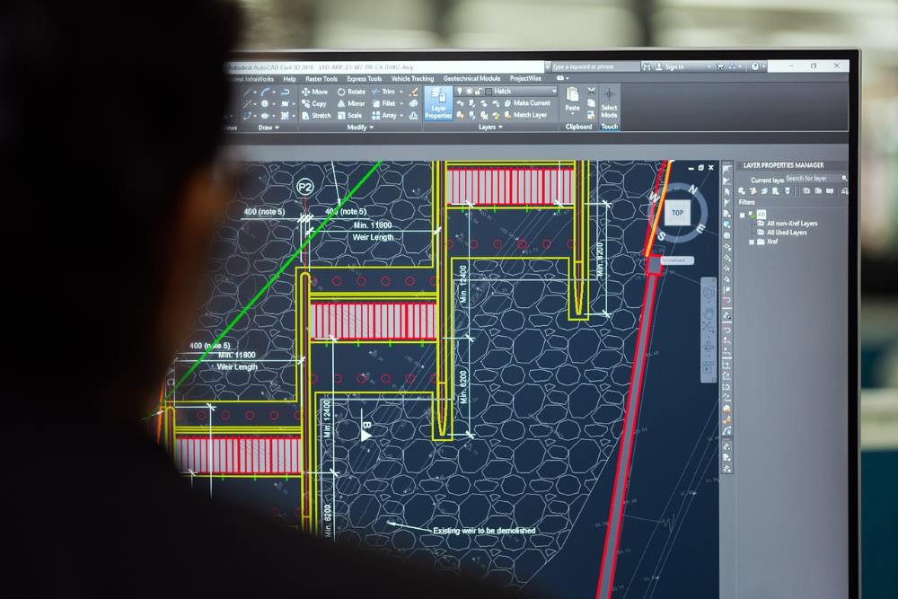
In addition, our technical team processes and delivers data in formats compatible with engineering and BIM software, facilitating direct integration into design and construction workflows.
Building the Future with Precision
Mega projects demand decisions based on reliable data and the support of an experienced surveying company. If you are developing a large-scale project, contact us. Our specialized team is ready to support you from the planning stage through execution, ensuring accurate and dependable results at every step.