How Topography Is Vital for Mega Projects: The Case of the New Central Highway in Peru

importancia de la topografia para las megaobras

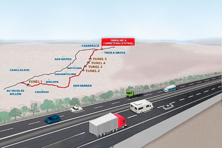
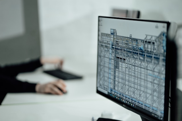
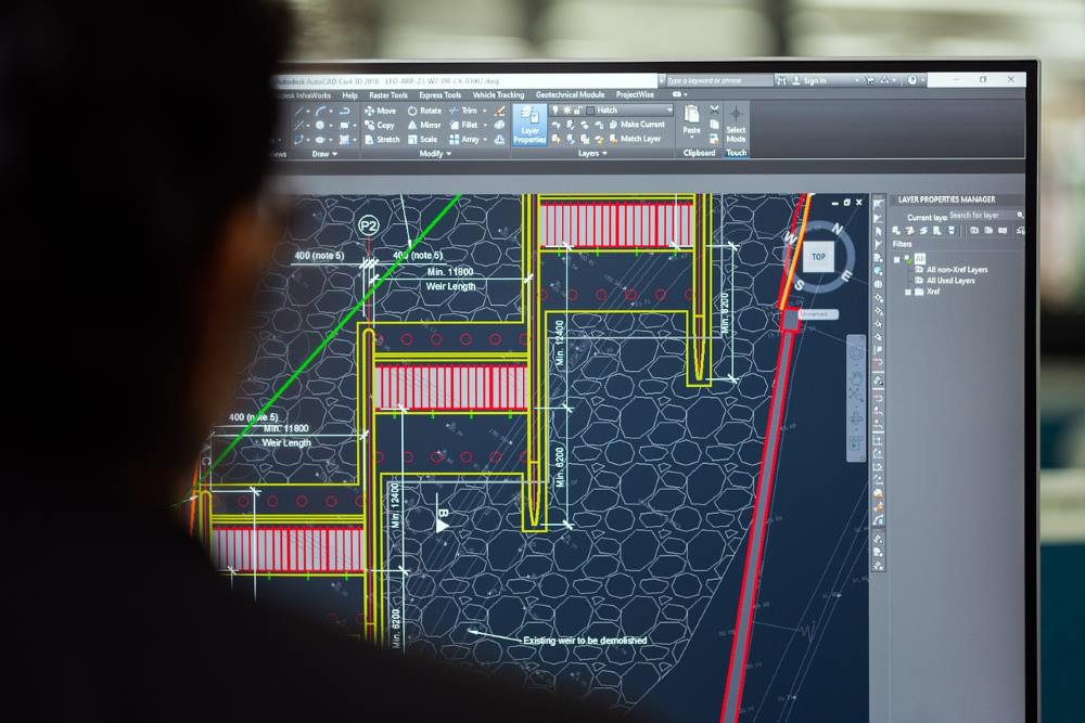
Topographic studies are essential for the construction of large-scale transportation infrastructures that require detailed information and cutting-edge technology. Topographic surveys, geodesy, and other related services help ensure the proper execution of each stage of a project. An emblematic example is the New Central Highway of Peru, one of the most ambitious infrastructure works in recent times, where topographic and geodetic studies are critical.

A Large-Scale Project to Connect Peru

The New Central Highway will require an investment of more than S/ 24 billion and will extend 185 km, including 33 km of tunnels and 19 km of viaducts. This mega project aims to reduce travel time between the coast and the country’s central region from six hours to just two and a half, strategically linking the regions of Lima and Junín.

For a project of this magnitude, precise topographic information is indispensable. Every meter of land must be accurately surveyed, modeled, and georeferenced so that the design, engineering, and construction phases can be executed without deviations or cost overruns.

Topography and Geodesy: The Technical Foundation of the Project

In this type of project, topography forms the technical backbone, as it allows for the accurate understanding of the terrain’s physical characteristics: contour lines, slopes, geographical features, and surface details. Geodesy, on the other hand, provides the necessary spatial reference to ensure the absolute and relative position of each point within a global coordinate system.

The combination of these disciplines enables:

  • Generation of high-precision digital terrain models.
  • Definition of road alignments and axes that optimize layouts and reduce earthworks.
  • Accurate positioning of complex structures such as tunnels and viaducts.
  • Deformation control and progress monitoring during construction.
  • Reduction of technical and economic risks, avoiding staking errors and delays.

Our Contribution to Large-Scale Infrastructure Projects

With decades of experience in topographic and geodetic surveys for complex infrastructure projects in both Peru and Spain, Acero Estudio deploys specialized teams and advanced technology such as:

  • 3D laser scanning services to capture geometries through dense point clouds in seconds.
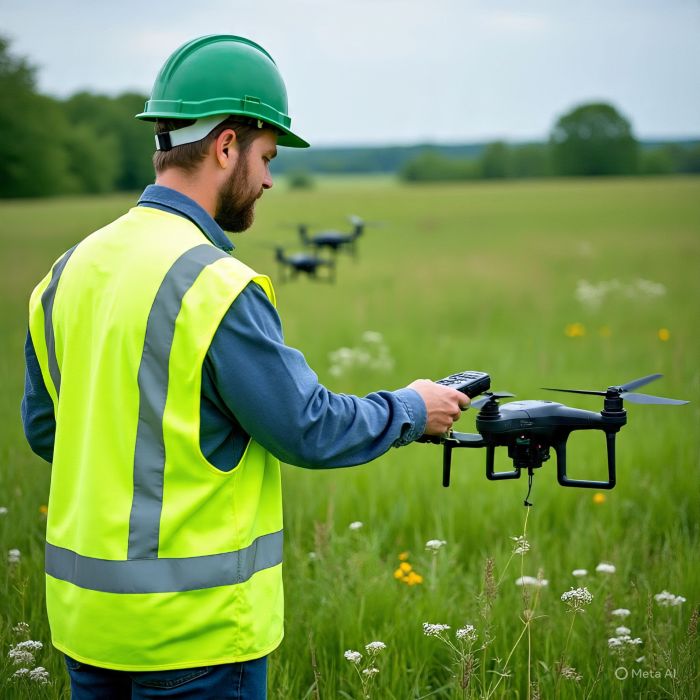
  • Drone photogrammetry to cover large areas quickly and with high accuracy.
  • LIDAR systems capable of penetrating vegetation to obtain precise terrain information even in forested or hard-to-access areas.
  • High-precision GNSS equipment and total stations, ensuring exact geodetic references.

In addition, our technical team processes and delivers data in formats compatible with engineering and BIM software, facilitating direct integration into design and construction workflows.

Building the Future with Precision

Mega projects demand decisions based on reliable data and the support of an experienced surveying company. If you are developing a large-scale project, contact us. Our specialized team is ready to support you from the planning stage through execution, ensuring accurate and dependable results at every step.

Use of LIDAR in topography for mining

lidar en topografia para mineria

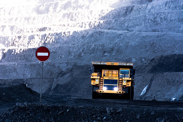
Modern mining, which processes hundreds of tons each day, requires precise and reliable information to ensure safety, optimize resources, and plan large-scale operations. Thanks to the use of advanced laser sensors that can be integrated into drones, LIDAR captures millions of 3D points and generates detailed digital terrain models.

Large-Scale Topographic Surveys

One of the greatest benefits of LIDAR in mining is the ability to carry out topographic surveys of vast areas in a short time. In the past, a team of surveyors working with traditional instruments was necessary, but today LIDAR technology provides up-to-date information to plan new explorations, optimize access, and design open pits quickly through:

  • Point collection with drones
  • Data processing with specialized software
  • Generation of topographic maps and delivery to stakeholders
  • Volume and Material Management

LIDAR’s accuracy in data collection allows mining companies to calculate extraction volumes after just one workday, enabling ore grade calculations and income projections that are essential for operational and financial planning.

Slope Monitoring and Operational Safety

Another critical aspect for operational stability in mining is verifying slope stability. LIDAR technology enables the creation of geotechnical models that identify deformations, movements, and landslide risks. This contributes to safer operational management while reducing personnel exposure to hazardous areas.

3D Digital Models for Mine Planning

Beyond detailed terrain capture, LIDAR also generates 3D digital models that support mining planning. These models make it possible to simulate scenarios, analyze alternatives, and optimize the design of pits, access roads, and more.

  • Key Benefits of LIDAR in Mining
  • Higher accuracy compared to traditional surveying methods
  • Time and cost savings in data capture
  • Improved worker safety, by reducing the need to enter hazardous zones
  • Comprehensive and up-to-date information, useful for exploration, exploitation, and mine closure

LIDAR in mining is now one of the most valuable technologies for improving efficiency, safety, and sustainability in operations. From volume control to geotechnical risk prevention, its applications offer a competitive advantage to companies seeking to optimize processes and ensure precision at every stage of a project.

If you want to learn more about our LIDAR services, contact us. We are Acero Estudio, a surveying company specialized in LIDAR, drone photogrammetry, and 3D laser scanning. We are at your service.

BIM Modeling: What Is It?

modelo bim

BIM modeling is a 3D development process that basically consists of creating a digital model of a construction project. Unlike traditional drawings or computer-aided design, a BIM model brings together all the project information in a single environment, allowing for better planning, error detection before construction, and coordination of all teams involved.

What methods of BIM model generation are there?

There are different methods to generate a BIM model, depending on the available data and the stage of the project:

From CAD drawings

If the project has 2D drawings, it is possible to transform them into a 3D model enriched with information, allowing the evolution from a basic design to a complete BIM model.

From a 3D laser scanner

Using scanning technology, millions of points are captured that represent the built reality with millimetric precision. This point cloud serves as the basis to generate the BIM model, making it ideal for remodeling or expansion projects.

Other methods

BIM models can also be created from aerial photographs taken by drones, existing models from other design platforms, or even manually collected information, as long as it can be structured in a BIM environment.

How do we feed a BIM model?

The value of BIM models lies not only in their initial creation but also in how they are continuously enriched with information by the various professionals involved in the project. Let’s see how different disciplines feed, update, and refine the models:

  • The architect incorporates design aspects, space distribution, and finishes.
  • The structural engineer adds data on materials, resistance, and structural behavior.
  • The MEP engineer provides information about electrical, plumbing, HVAC, and security systems.
  • The cost specialist integrates budgets, schedules, and financial analysis.
  • In this way, the model becomes a digital meeting point where all disciplines converge, ensuring consistency and facilitating decision-making.

How far does the BIM model go?

The scope of the BIM methodology goes beyond the design or construction stage. Once the project is completed, the model can continue to be used during the operation and maintenance of the infrastructure, since it contains information about materials, installed equipment, warranties, technical manuals, and maintenance schedules. It can even be useful in future stages of remodeling, expansion, or controlled demolition, thus covering the complete life cycle of the asset.

As you can see, a 3D BIM model is not just a design tool but an integral system that supports an infrastructure from its conception to its final use, ensuring efficiency, accuracy, and value at every stage.

If you want to learn more about our BIM consulting services, do not hesitate to contact us. And if you already have a developed model, we can help you evaluate it with our BIM auditing service for projects.

In Acero Estudio we are at your service to turn your ideas into 3D models.

Discover LIDAR Topography

topografia lidar

One of the modern surveying techniques used by Acero Estudio, a surveying company, is LIDAR (Light Detection and Ranging). This method is supported by laser technology that employs sensors capable of generating topographic mappings to measure, with high precision, the distances between an emitter and the Earth’s surface. With these laser pulses, it is possible to generate a point cloud, which can later be transformed into an accurate topographic map of a study area.

LIDAR technology has several benefits compared to traditional surveying methods, such as:

  1. Conducting topographic surveys at high speed
  2. Providing high accuracy thanks to its laser system
  3. Ensuring safe data collection through the use of UAVs
  4. Capturing information from areas with dense vegetation without intervening in the terrain
  5. Generating an accurate point cloud

What is LIDAR used for?

LIDAR technology has become one of the most effective tools in engineering, construction, and land-use planning, as it allows for obtaining topographic information of large surfaces in reduced time frames and with a higher level of accuracy than traditional methods.

In practice, LIDAR surveying is applied in infrastructure projects, road works, hydrological studies, urban planning, archaeology, and environmental monitoring, among others. Its main value lies in its precision, speed, and versatility, as it provides high-resolution data that can be processed in specialized software to generate digital elevation models, contour lines, volumetric analyses, and simulations.

Thanks to this capability, LIDAR technology is a strategic resource to optimize decision-making in projects that require accurate, fast, and reliable geospatial information.

If you would like to learn more about our services in surveying, drone surveying, photogrammetry, or LIDAR surveying, contact us today.

BIM + IoT for Real-Time Building Management

bim and iot for lifecycle management

As we’ve mentioned in various articles on our website, the BIM methodology is not only present during the planning and execution phases of projects – it goes beyond construction and can positively impact building management through simulations, component lifecycle control, and expansion projections.

One of the technologies currently being integrated with BIM is the Internet of Things (IoT), which in turn will make BIM an even more powerful tool for real-time building maintenance and management.

From Construction to Lifecycle Management

Integrating IoT sensors allows the digital model to evolve from a static representation into a living digital twin, powered by real-time data. This opens the door to more efficient asset management, predictive maintenance, and resource savings.

aplicaciones de la topografia en ingenieria civil

How Does BIM + IoT Integration Work?

The Internet of Things operates through sensors that can provide data on foot traffic within the building, elevator usage, air quality, structural vibration during seismic events, and more.

All this centralized information enables us to identify risk zones, mandatory maintenance elements, and over time, develop real statistics and data that facilitate preventive and timely maintenance through a centralized system functioning as a brain.

This not only results in cost savings in terms of maintenance management and failure prevention, but also reduces downtime caused by repairs.

Where Can BIM + IoT Be Applied?

  • Corporate buildings
  • Hospitals
  • Industrial plants
  • Public projects

The Future: Toward Complete Digital Twins

The convergence of BIM + IoT is the first step toward adopting digital twins—virtual replicas that simulate the behavior of a building and allow for full lifecycle management, from planning to decommissioning.

In this scenario, buildings will no longer be conceived merely as physical spaces, but as intelligent, self-sustaining ecosystems, where each sensor feeds a database that helps improve efficiency, reduce costs, and ensure people’s safety.

As we can see once again, the possibilities of BIM methodology are vast and open the door to new ideas. If your company is interested in developing BIM projects, at Acero Estudio we provide experienced BIM consulting services specializing in implementation, BIM modeling, and BIM auditing for projects and constructions.

Contact us today – we’re here to help.

Skills a BIM Consultant Must Have

ingeniero consultor bim de acero estudio trabajando en un modelo bim

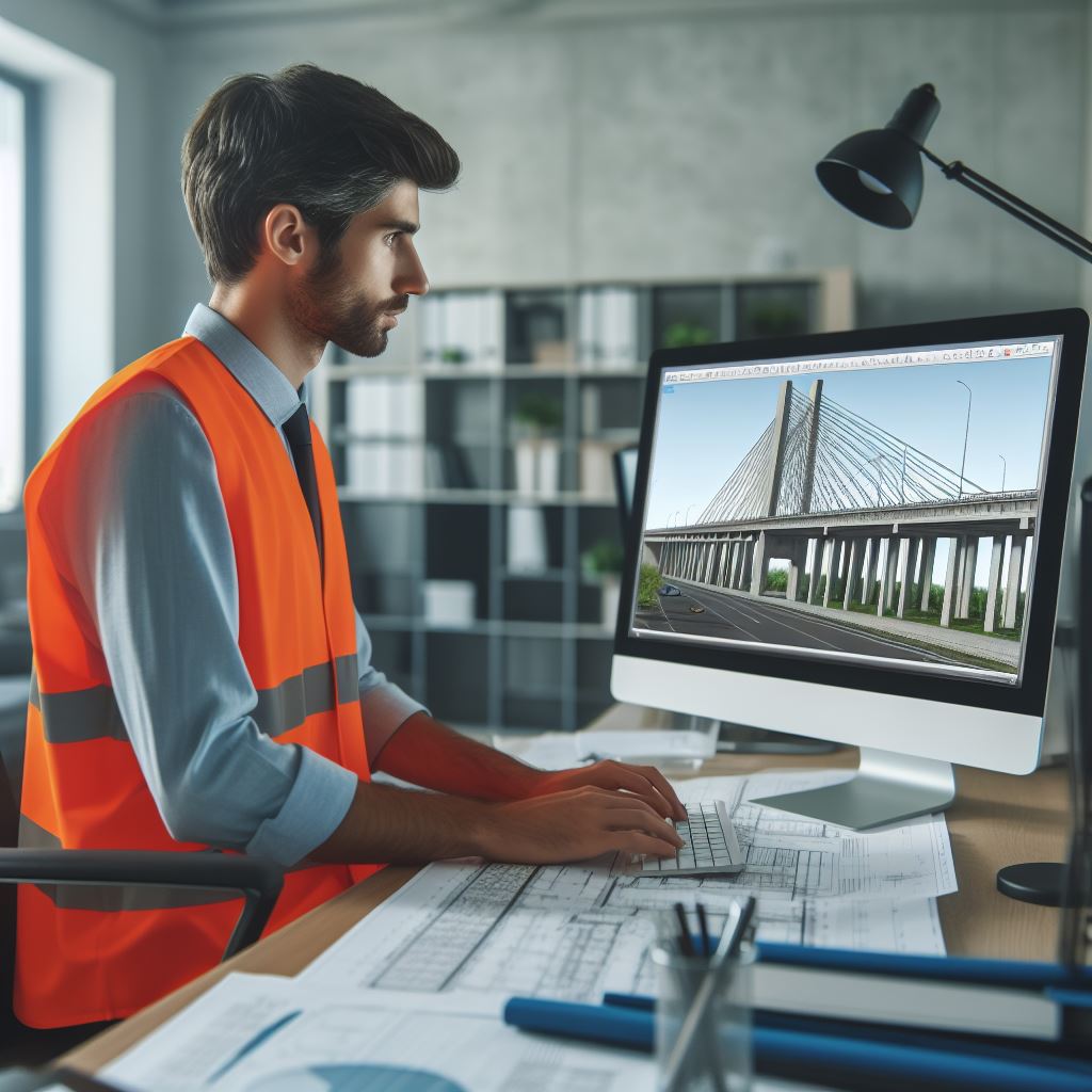
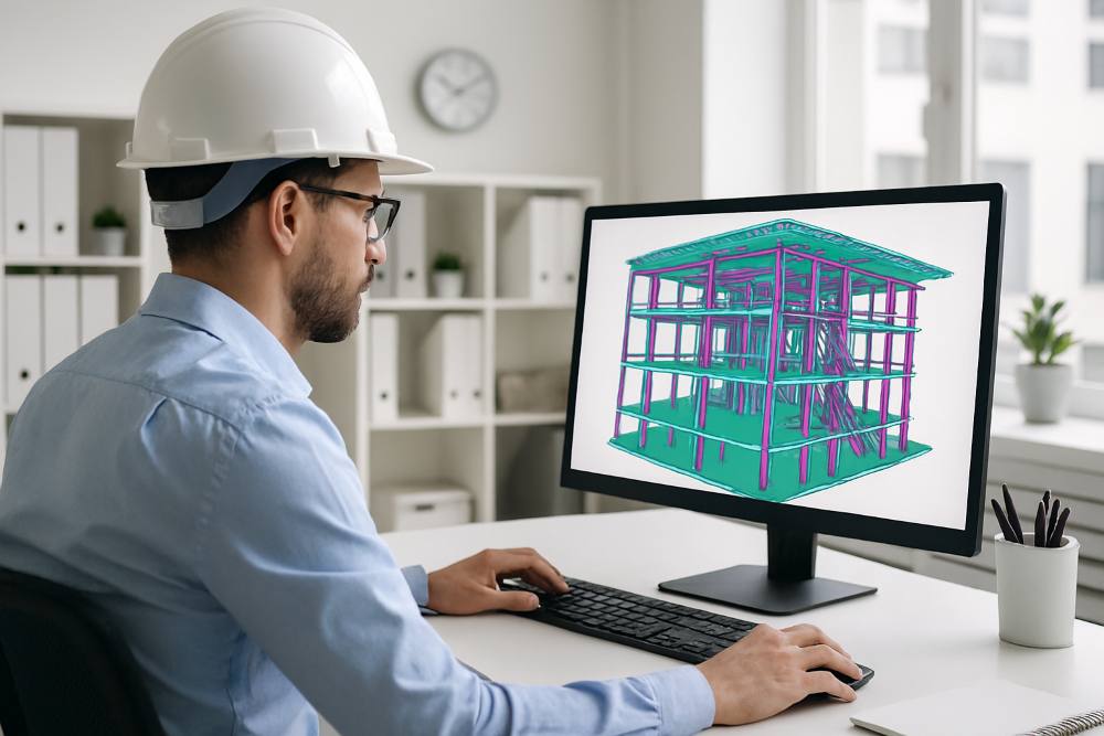
The spread of BIM methodology in construction is a reality; however, in this process of BIM modeling evolution, there are still several gaps that hinder standardized implementation. To close these gaps and reduce the digital debt, BIM consultants play a crucial role, as they are responsible for ensuring that BIM models are accurate, efficient, and effective.

To unlock the full potential of BIM models, further minimize risks, and optimize time, a professional BIM consultant must possess a set of key skills, such as:

On-Site Experience

A BIM consultant with construction site experience is essential to fully realize the potential of the methodology. Consultants who have real on-site knowledge can better understand the needs and challenges of the sector. They also know the capabilities of the construction team, which allows them to create, edit, and audit models effectively. The goal is for these models to be practical and realistic, helping reduce the complexities of project execution.

Attention to Detail

Want to know if a BIM consultant is good? Evaluate how attentive and detail-oriented they are. Systems are important, but without proper human supervision, they lack the reliability that correct monitoring can provide. As BIM consultants, we can analyze BIM models and detect errors or inconsistencies that may affect project quality. The ability to observe and analyze BIM models is crucial to ensure accuracy and reliability.

Software Expertise (Revit or Other BIM Tools)

Proficiency in BIM software is essential for a BIM consultant. They must know how to operate programs that allow them to make edits, assess libraries, run simulations, and perform key functions such as clash detection, among others.

Application of Practical Logic

Logic is fundamental for a BIM consultant. They must be able to analyze complex problems, propose and develop logical, feasible, and cost-efficient solutions. This requires a deep understanding of BIM methodology and the software tools used, as well as knowledge of construction capabilities, budget scopes, and more.

Curiosity

Curiosity is an important skill for a BIM consultant. They must be willing to continuously learn and improve, as BIM technology and best practices are constantly evolving, with new features appearing regularly that can strengthen performance in different sectors. Curiosity allows BIM consultants to stay updated and offer innovative solutions to their clients.

Unlocking the Full Potential of Your BIM Models

By combining these skills, a BIM consultant can develop, improve, or audit BIM models that are accurate, efficient, and realistic. With these abilities, construction projects benefit from reduced costs, improved project quality, and increased client satisfaction.

Do You Need an Expert BIM Consultant?

If you are looking for a BIM consultant who can help you unlock the full potential of your BIM models, we are Acero Estudio, a company specialized in BIM Consulting and BIM Auditing. Our team of BIM experts can help you enhance the quality and efficiency of your 3D models, integrating them effectively into your projects with the goal of reducing costs, minimizing risks, and maintaining greater control of every stage, from construction to maintenance.

Contact us today, we are at your service.

Acero Estudio, the Best Surveying Company in Peru

nuestro equipo de profesionales especializados en servicio de topografia, levantamiento topografico, consultoria bim y servicios cad

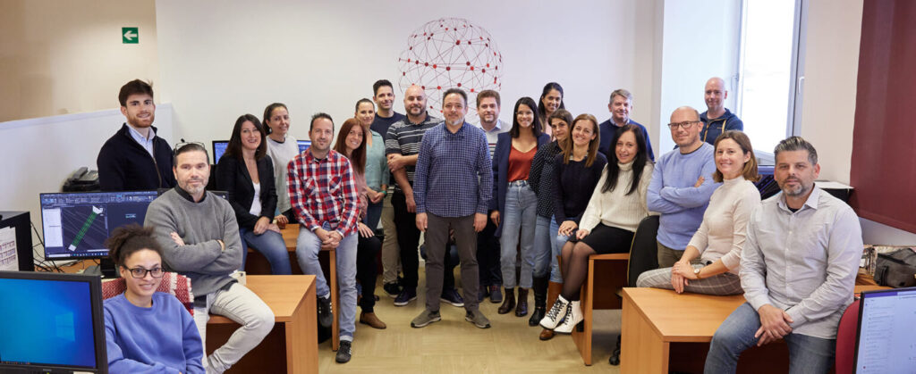
If you’re looking for a surveying company, you’ve come to the right place. Acero Estudio is the right choice, we are a highly specialized surveying company offering all types of studies and surveying services in both Peru and Spain. We have carried out topographic surveys for infrastructure projects, construction projects, cadastral activities, and residential and industrial buildings, among others.

Our Experience in Surveying

As a surveying company, we have more than 25 years of experience, starting in Spain and later expanding into Latin America. In both regions, we have worked on projects in the private and public sectors, providing the necessary topographic and geodetic studies and services for a wide range of works and industries, including:

  • Infrastructure construction: roads, bridges, and tunnels
  • Expansion of metro and train stations
  • Industrial building expansions
  • Hydraulic infrastructure
  • Mining sector works
  • Residential construction
  • Airport construction

What Technology Do We Use in Our Surveying Work?

Today, the discipline of surveying requires not only skilled and experienced professionals but also the proper tools to achieve accurate measurements. At Acero Estudio, we use a wide range of equipment to collect the most precise information, including:

  • Total stations
  • Drones with photogrammetry cameras
  • Drones with LIDAR laser sensors
  • Digital levels
  • GNSS and GPS receivers
  • 3D scanners

Robotic total stations

As you can see, technology has also transformed our sector, and we have embraced this evolution by extensively using the best tools to achieve faster and more cost-effective results. That’s why, in addition to traditional surveying services, we stay up to date by incorporating cutting-edge technologies.

What Types of Services Does a Surveying Company Offer?

A specialized surveying company must be equipped to offer high-quality services such as:

  • Topographic surveys of any area
  • Topographic leveling: geometric, trigonometric, physical, barometric, etc.
  • Aerial orthophotos (drone photogrammetry)
  • Tachymetry services using total stations for fast distance measurement
  • LIDAR services for densely forested areas
  • Hydrographic surveying
  • Earth volume calculation surveying

What Topographic Techniques Do We Use?

Among the specialized techniques we implement are:

  • Traverse surveying
  • Geometric leveling
  • Drone-based surveying
  • Drone photogrammetry
  • Topographic surveys
  • Geodesy services

With professionals specialized in each of these methods, we deliver accurate and comprehensive data that are essential for the planning and execution of projects of any size and complexity.

We invite you to contact us and join our satisfied clients who value the quality of our work, our punctuality, and our commitment. At Acero Estudio, we adapt to the specific needs of each project to guarantee precise and efficient results.

Why Are More and More Public Tenders Requiring BIM?

modelo bim de un proyecto de puente

BIM is here to stay. If in the past companies or individuals demanded blueprints of their home or building, today those same parties require BIM models that provide precise information about the infrastructure; including architecture, structure, electrical and plumbing components. These models also include specific details for each element, such as material type, supplier, and more.

Increasingly Demanding Public Tenders

In this regard, public tenders today are more demanding, as they require greater information and transparency in construction projects to ensure they are carried out efficiently, within the expected timelines, and using the promised materials.

While BIM gained ground years ago in Europe, Asia, and North America, it is now Latin America’s turn. Countries such as Peru, Mexico, Colombia, and Chile are showing growing interest in the use of BIM as a mandatory requirement for public works.

What’s Behind This Shift?

Mainly, it’s the increased professionalization and complexity of construction projects. For national and local governments, BIM models enable:

  • Greater transparency and control in public projects
  • Reduction of cost overruns and delays
  • Improved long-term maintenance and asset management
  • Standardization and regulatory compliance
  • A push toward the modernization of the construction sector

In summary the integration of BIM methodology in public tenders is now a reality. If your construction or architecture firm has not yet implemented it, you’ll be at a disadvantage when it comes to competing. But don’t worry, Acero Estudio is your specialized BIM consulting partner, offering expert BIM modeling and BIM audit services.

Contact us and let’s start building this path toward greater efficiency and professionalism in the construction sector. We are here to help.

Discover Our Solutions and Services for the Mining Industry

instrumental que usamos en topografia minera

Mining sector is very important pillar in the Peruvian economy. As construction consultants, in Acero Estudio, we offer 27 years of experience and international presence. We offer specialized services that combining precision, advanced technology, and a strong commitment to safety in mining operations.

Expertise and technical proficiency to every project. With over 100 projects executed across Latin America, we deliver innovative solutions that enhance the development of mining infrastructure, meeting the highest quality standards.

OUR SERVICES

PRECISION TOPOGRAPHY AND GEODESY
We ensure accurate measurements using state-of-the-art technology for your mining project. Our large-scale topographic and geodetic surveys utilize differential GPS, total stations, and 3D laser scanning to deliver reliable data that minimizes risks, optimizes resources, and guarantees precision throughout all planning and execution phases.

BATHYMETRY
Gain accurate insights into the morphology of your water resources. Our bathymetric studies generate detailed maps of underwater terrain, supporting the planning of operations in aquatic environments. Improve precision in your mining infrastructure projects and significantly reduce costs and risks in geotechnical and environmental studies.

PHOTOGRAMMETRY AND VIDEOGRAMMETRY
Obtain high-detail digital surface and terrain models. By using drones and high-resolution cameras, we capture and process aerial imagery that allows you to visualize your project before implementation. We are pioneers in videogrammetry, supported by our proprietary software.

LIDAR AND 3D LASER SCANNING
Access hard-to-reach terrains with millimeter-level accuracy. Our airborne LIDAR surveys are ideal for large and rugged areas like the Andes Mountains, while our 3D laser scanning generates point clouds with millions of coordinates of your facilities. Achieve precise digital modeling, detailed analysis, and data-driven decision-making.

BLUE STAKE
Avoid costly damages and delays in your operations. Our underground utility mapping service accurately identifies electric lines, pipelines, fiber optics, and other critical infrastructure using non-invasive technology, ensuring safety during excavations.

BIM METHODOLOGY
Transform the comprehensive management of your mining projects. Building Information Modeling (BIM) integrates all disciplines and lifecycle phases of your infrastructure into a collaborative digital model. It enables early clash detection, scenario simulations, precise cost estimation, and resource optimization throughout the project. We also offer BIM audit services.

PROJECTS COMPLETED

  • Volcan Mining Project (2021):
  • BIM consulting, 3D scanning, 3D modeling, and photogrammetry integration.
  • Zafranal Mining Project (2023):
  • Specialized topography, Class C geodesy, and precision leveling.
  • Chacahuaro Tunnel (2016):
  • Comprehensive topography and geodesy services for this major road infrastructure project.
  • Demasolar Photovoltaic Project (2015):
  • Implementation of topographic solutions for renewable energy initiatives.

Contact us today and discuss how to empower your projects, we’re here to help.

How BIM Auditing Reduces the Digital Debt of Your Model

bim reduce deuda digital y degradaciĂłn del modelo bim

The aspects and benefits covered by a BIM audit were discussed in our article (BIM Audit for Projects), but one of the most important, and often overlooked, is the reduction of digital debt that gradually builds up in a 3D model over time. This issue leads to a slow degradation of the model, resulting in:

  • Degraded elements or elements with insufficient information
  • Orphan elements within the model
  • Undetected clashes
  • Element data that does not correspond to real-world components
  • Inability to generate projections or simulations
  • Effects of digital debt in a BIM model

Avoid a decreased performance in your model

These issues lead to decreased performance of the model, both during the project and in later stages, and can even turn the model into a source of delay, something no one wants to revisit, instead of a valuable tool for information and coordination between disciplines.

If you don’t want this to happen to your project, contact Acero Estudio. We are BIM consultants specialized in BIM audits for ongoing projects and construction phases, and we are here to support you.