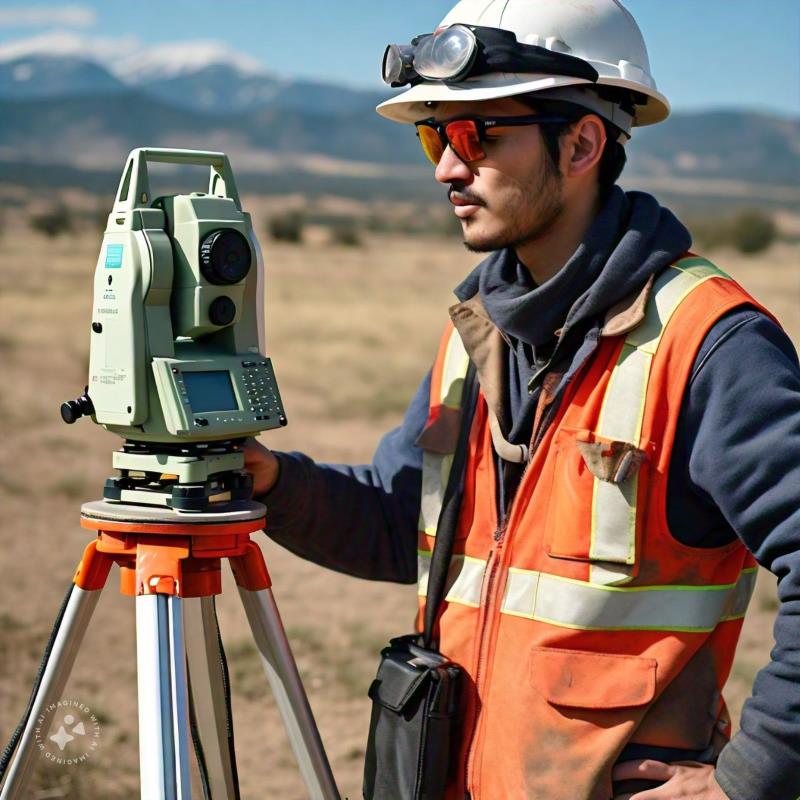
In the mining sector, drones equipped with sensors, cameras, and high-tech equipment generate precise information that supports operations, financial calculations, and other activities essential for asset and concession planning.
Functions commonly assigned to drones include:
- Capturing aerial images.
- Generating primary data to create 3D models, orthomosaics, and topographic maps.
- Providing accurate information on worked areas and subsurface reserves.
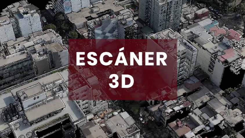
Applications of Photogrammetry in Mining
Volume Calculation
In the mining extraction sector, the volumes of extracted material are crucial for determining the grade of the mineral. This data enables financial and operational projections derived from the profitability of the samples.
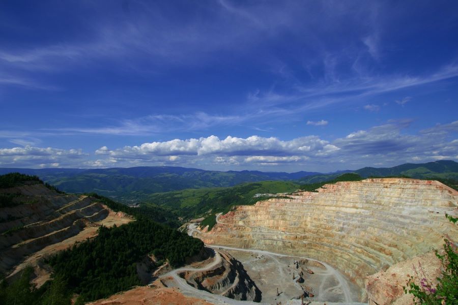
Open-Pit Mine Monitoring
In large-scale mining operations, traditional surveying methods can be time-consuming or pose risks to surveyors. Drone-based surveying and photogrammetry allow for detailed terrain analysis, detecting risks, unstable zones, slopes, or potential landslide areas.

Work Area Control
This task is essential to ensure mining operations remain within designated extraction zones, avoiding encroachment on neighboring concessions.
Design and Planning
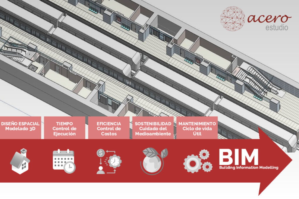
Aerial photogrammetry also plays a critical role in creating aerial maps for designing and planning new operations. Properly projected exploitation routes, including areas designated for transport, are vital, especially in open-pit mining projects.
Land Rehabilitation
When reserves are depleted, mines undergo closure processes where the mining company must not only return materials to their original locations but also rehabilitate, as much as possible, the local flora and fauna. Accurate information enabled by photogrammetry ensures these areas are restored properly.
We invite you to contact us to learn more about our photogrammetry services for companies. Acero Estudio is here to assist you.