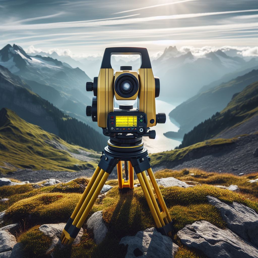
The process of carrying out a topographic survey requires precision and a series of well-defined steps that guarantee the accuracy of the data. To start the topographic study, it is essential to use base stations with control marks. Control points act as fixed references from which all other points on the terrain will be measured; However, sometimes the control points may not be enough to cover the entire study area. When new points are needed, they can be generated using GNSS vectors. This method employs geodetic receivers in a relative static mode, using existing grid points to establish new points with the same precision.
To obtain accurate heights above mean sea level, it is necessary to make corrections to the geodetic heights (measured from the spheroid). This involves the use of altimetry control points, which help adjust measurements and ensure they reflect true heights relative to sea level. It is also desirable to calculate photogrammetric control points and navigation signals. These points must be calculated from at least two control points to ensure accuracy. Drone photogrammetry, which uses aerial photography to measure distances and terrain features, relies on these control points to align and scale images correctly.
To speed up the survey process, quick methods such as “stop and go” or “RTK” (real-time kinematic) can be used. These methods allow data to be collected efficiently and quickly, as long as they meet the precision requirements specified in the reference table. The “stop and go” method involves stopping briefly at each measurement point, while RTK allows real-time data to be obtained with high precision.
During the course of the survey, the need may arise to generate additional control points. These new points must be derived from two previously determined control points to maintain the consistency and accuracy of the survey. Accurate surveying requires meticulous planning and the use of reliable methods to establish and verify control points. The combination of advanced technologies, such as GNSS and RTK, along with traditional techniques, ensures that the survey is accurate and efficient. By following these steps and guaranteeing the correct density and distribution of control points, you can obtain a detailed and accurate map of the terrain, essential for any engineering or construction project.
Consult with our specialists in topographical services, at Acero Estudio, we are at your service.


