Topographic surveying in mining is an important process for determining mineral reserves, planning exploitation, and efficiently managing resource extraction.
In this article, we provide steps and recommendations for conducting a topographic survey in mining, based on established procedures for some of our topographic services clients.
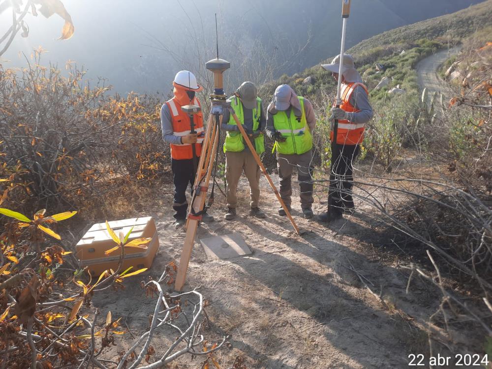
Topographic Survey in Mining
Before we begin, it is worth noting that topographic surveying in mining involves obtaining an accurate representation of the terrain and structures on the surface of the mine. In mining companies, this process can be carried out monthly to update the progress of exploitation and estimate available mineral reserves. The main objective is to represent, through a 3D model, the shape and relief of the mine, thus facilitating mining exploitation planning and management.
The topographic surveying procedure can be applied from scheduling the areas that have been modified to generating the updated 3D model of the mine. It includes sending volumetric reports to respective clients and storing the information in the company’s system.
It is also worth noting that this topographic study should be carried out by individuals with adequate competencies and using reliable topographic equipment to ensure the accuracy of the survey.
Critical Success Factors
- The team responsible for the topographic survey must be well-trained and experienced in handling topographic equipment and software. Using topographic equipment in excellent condition and with updated technology is essential for obtaining accurate data. Using standardized methodologies ensures the quality and accuracy of the results.
- Having Management Indicators Having precision data indicators. Hectares per hour progress measurement indicator.
- Detailed Procedure and Calculation Generation
It is important for the survey of a mining area to have a detailed process or methodology that takes into account the evolving nature of an area under exploitation. Remember that this information is used to plan the areas to be updated.
At this point, the recommended steps are:
- Location of measurement tools.
- Performing topographic tie-in to the coordinate system of the mining area.
- Conducting the topographic survey.
- Performing the polygonal survey.
- Data transmission and processing by software.
- Georeferencing and 3D model creation.
- Calculation of areas and volumes.
In summary, topographic surveying in mining is a complex process that requires great precision to accurately project volumes. Remember that Acero Estudio provides topographic services to the mining sector; contact us and request information about our services… we are here to help.
