Drone technology is advancing at exponential rates and is increasingly accessible, which is why different sectors are taking advantage of and adopting drones in their work to drastically increase their efficiency. In other words, drones are changing the way businesses operate by reducing costs, saving time, improving safety and providing a direct return on investment, so their impact should not be ignored.
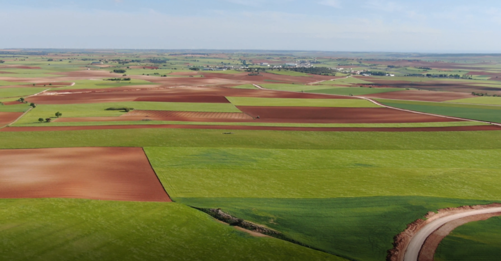
In particular, the use of drones in topography (topographic surveys with drones) represents a revolution. While the use of traditional methods provides more precision, the use of drones in this type of work offers more survey surface in the same period of time.
“There is a saying in the construction industry: “Time, cost and safety, pick two.” And what makes drones really transformative for us is that we can choose and improve all three.”
– Grant Hagen, Director of VDC, the Beck Group
As we already know, the use of drones brings with it a large number of advantages and each of these advantages has to do with their ability to reduce the time, danger and cost of the project. However, another very important factor to consider is this, are drones as accurate as traditional ground surveying methods?
For many years, the precision of drones has not lived up to their theoretical potential although this has begun to change. With drone solutions, a wide selection of surveying techniques is available that allows any project to be developed with excellent results.
At Acero Estudio, a company specialized in drones for topography, LIDAR and photogrammetry, we invested in drones for the development of this type of projects and we were not wrong. What are you waiting for to find out?
Take into account that Acero Estudio provides various services dedicated to reducing construction risks such as:
- Topographic survey services
- Drone photogrammetry
- LIDAR service
- BIM Consulting
- 3D Laser Scanner
Contact us and request a quote for our services, we are here to assist you.
