Topographic Surveying: An Essential Service for Construction and Project Planning
In the world of construction and architecture, precision is key. The infrastructure that is built must be safe, functional and aesthetically pleasing, but it all starts with a detailed understanding of the terrain on which it will be built. This is where land surveying comes into play, an essential surveying service that measures and represents the characteristics of a land surface. Without a doubt, this process is one of the fundamental pillars in project planning.
Fundamental Pillars for Project Planning
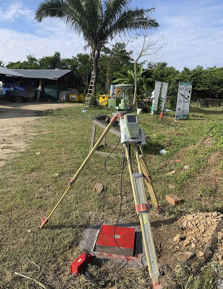
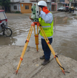
Topographic surveying has become a highly specialized discipline that uses advanced techniques to obtain a detailed plan of the terrain. It is not limited to simply drawing a flat map; It goes much further by showing elevations and low areas with an impressive level of detail. In addition, it is capable of identifying and representing existing elements on the ground, such as trees, buildings or roads. This service is the first step towards creating a design that works in harmony with the natural environment.
For construction and architecture companies, surveying services such as land surveying are invaluable. By having precise knowledge of the terrain, architects and engineers can design structures that take advantage of the natural shape of the terrain’s slopes, taking advantage of its natural characteristics. This approach not only promotes the aesthetics and functionality of the design, but also generates significant savings by adapting to the existing topography instead of trying to modify it.
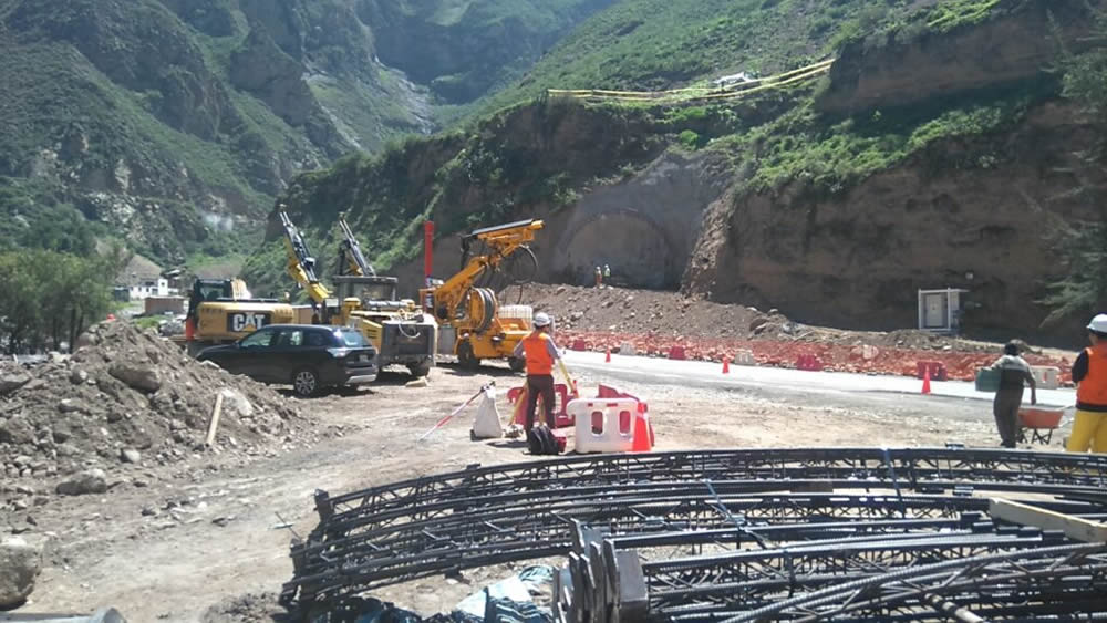
Surveying also plays a crucial role in geographic risk management. Nature can be unpredictable, but with the information provided by this service, it is possible to anticipate and manage a series of challenges. For example, flood zones can be detected, which is essential for planning construction projects near bodies of water or flood-prone areas. Likewise, areas of unstable land can be identified, allowing architects and engineers to plan construction processes that anticipate these challenges, thus avoiding costly corrections later in the project.
Furthermore, surveying not only benefits builders and architects, but is also essential in a variety of industries. For example, in the field of agriculture, this technique is used to plan irrigation and crop planting efficiently, taking advantage of the characteristics of the terrain to optimize production. In the energy field, it is used in the planning of wind and solar farms, ensuring that facilities are placed in optimal locations in terms of exposure to the sun and wind. Even in the realm of cartography and geology, topographic surveying is essential for creating accurate maps and understanding the geology of a region.
Surveying is much more than a simple measurement tool. It is an essential service that supports project planning, ensures the safety of structures and enables efficient management of geographic risks. From home construction to large-scale infrastructure projects, this discipline is an integral part of the construction industry and plays a critical role in creating a safe and functional built environment. Therefore, it is no exaggeration to say that land surveying is the foundation on which our world is built.
Other topographic services are:
- Polygonal Topography
- Geometric Leveling
- Photogrammetry
- LIDAR
- 3D Laser Scanning
Contact Acero Estudio, a company specialized in topographic studies, we are at your service.
