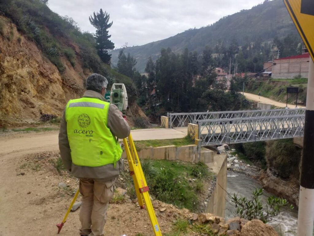
The total station is an essential tool in surveying due to its versatility and ease in measuring distances and angles. This tool combines the functions of a theodolite and a distance meter, allowing for the precise measurement of horizontal and vertical angles. Below are the main features and uses of this important tool:
Main Functions
Angle Measurement: The total station is capable of measuring horizontal and vertical angles with high precision, essential for the exact delineation of points on the Earth’s surface.
Distance Measurement: Equipped with laser technology, this device can measure distances with an accuracy of up to 1 mm, facilitating the acquisition of exact data.
Coordinate Calculation: Using trigonometry and triangulation, the total station determines the coordinates of specific points, providing values for (x), (y), and (z) (altitude).
Data Storage: This instrument includes internal memory or an electronic notebook to store and process the collected data, improving efficiency and accuracy in fieldwork.
Applications
- Construction: Fundamental for the planning and execution of construction projects, ensuring that structures are correctly positioned according to designed plans.
- Cartography: Used in creating detailed maps, providing precise information about the terrain’s topography.
- Civil Engineering: Essential for the design and construction of infrastructure, ensuring that projects are carried out with precision and according to technical requirements.
- Topographic Surveys: Crucial for determining the shape and characteristics of the terrain, facilitating informed decision-making in development projects.
Comparison with Other Instruments
Total Station
- Functions: Combines a theodolite and an electronic distance meter, allowing simultaneous measurement of angles and distances.
- Uses: Ideal for detailed topographic surveys, construction, and engineering projects.
- Advantages: High precision, electronic data storage, and the ability to calculate coordinates directly.
- Disadvantages: More expensive and requires specific training.
Theodolite
- Functions: Measures horizontal and vertical angles but not distances.
- Uses: Used in surveying to measure angles in complex terrains.
- Advantages: Precise in angle measurement, more economical than the total station.
- Disadvantages: Does not measure distances electronically, which may require additional tools.
Electronic Level
- Functions: Measures height differences between points using a laser beam or an optical level.
- Uses: Common in construction for leveling land and structures.
- Advantages: Easy to use, fast, and precise in height measurement.
- Disadvantages: Does not measure angles or horizontal distances.
Summary of Differences
- Total Station: Measures angles and distances electronically, ideal for complex projects.
- Theodolite: Measures only angles, suitable for tasks that do not require distance measurement.
- Electronic Level: Measures heights, perfect for leveling in construction.
As noted in this brief compendium of information, the total station stands out as an integral tool in modern surveying, offering precision and efficiency in measuring angles and distances. Its angle measurement, distance measurement, and data storage capabilities also make it useful in construction projects, cartography, civil engineering, and topographic surveys.
Contact us, at Acero Estudio we are specialists in topography surveys and services for the construction and architecture industry.


