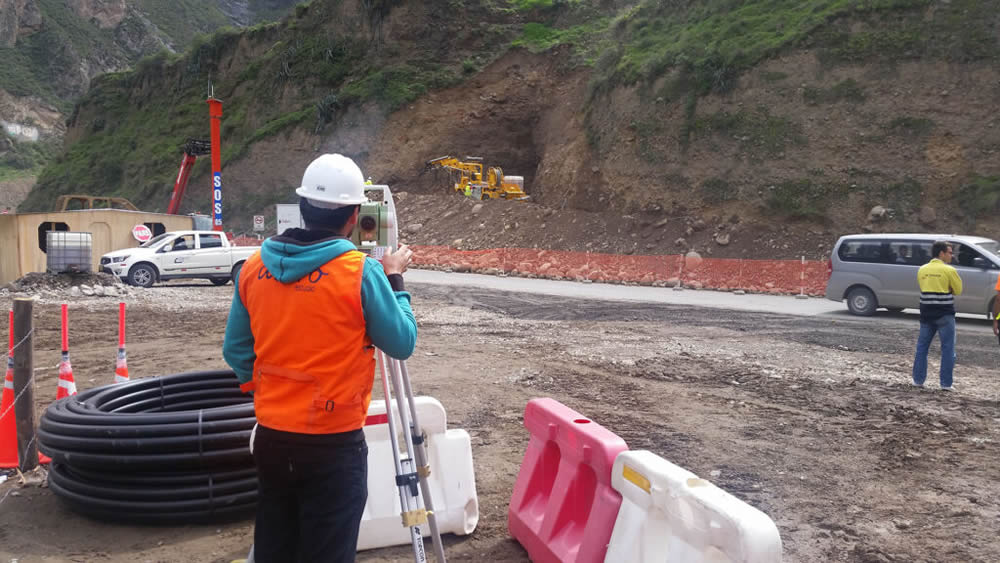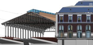
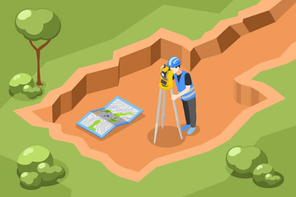
As mentioned in several of our articles, topography is essential for construction and infrastructure projects because it provides a precise understanding of the terrain, including measurements, slopes, and other vital characteristics for comprehensive data.
After conducting a topographic survey, the surveying company will deliver the topographic study (preferably in both physical and digital formats), which should include the following information:
1. Basic Information of the Plan
- Project identification, location, and date of the plan’s creation.
- Scale used, clearly indicated to ensure dimensions are understandable and comparable.
- Coordinates in a standard reference system (such as UTM or WGS84) to accurately locate points on the terrain.
2. Terrain Features
- Precise representation of terrain elevation, with intervals appropriate to the project’s complexity.
- Indications of areas with significant slopes that may affect the design or construction.
- Identification of natural elements such as rivers, ravines, mountains, or depressions.
3. Present Elements
- Details of roads, buildings, pipelines, electrical poles, etc.
- Information about wooded areas, cultivated fields, cleared land, water sources, etc.
- Geodetic markers or topographic benchmarks used as references.
4. Methodology and Tools
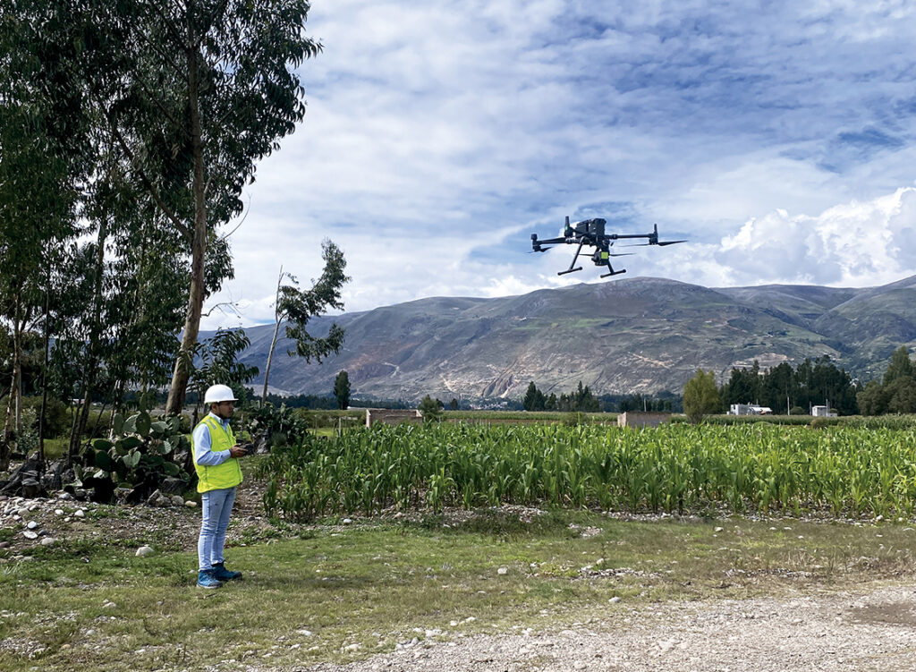
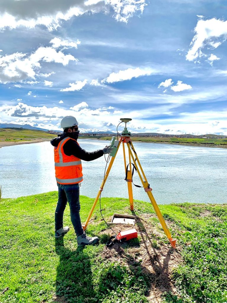
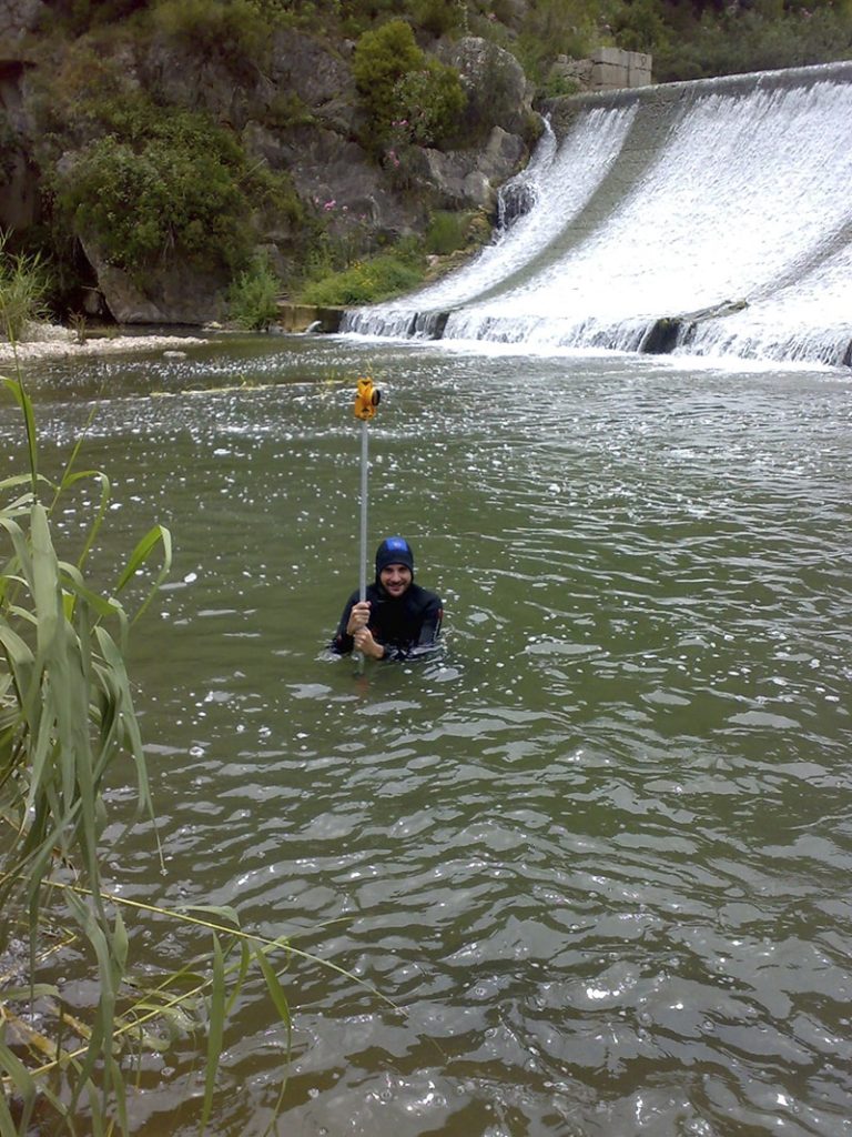
- Confirmation of whether total stations, drones with photogrammetry, LIDAR systems, or high-precision GPS were used.
- Information about the margin of error to ensure data reliability.
5. Compatibility and Deliverables
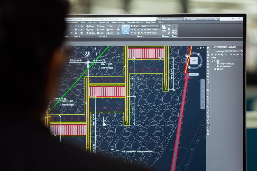
- Digital files in CAD formats (such as DWG) and GIS formats (such as SHP), along with printed copies if required.
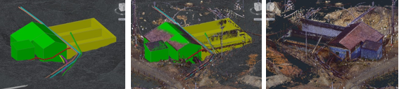
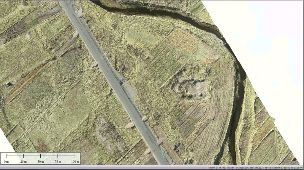
- Longitudinal and cross-sectional profiles, digital terrain models (DTMs), and orthophotos, if the project requires them.
6. Certifications and Support
- Guarantee that the work complies with local and international regulations.
- Signature from specialists, such as a certified surveyor or engineer.

Advantages of a Topographic Survey with Acero Estudio
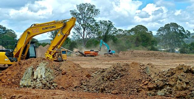
Acero Estudio, a company specializing in topographic survey, recommends using surveying to avoid construction risks. Our services help you:
- Minimize risks in plan design.
- Avoid flooding risks or improper project placement.
Contact us to discuss how we can support your project development. With 25 years of experience, we are at your service.