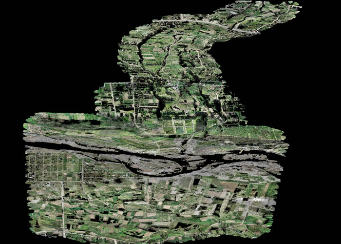
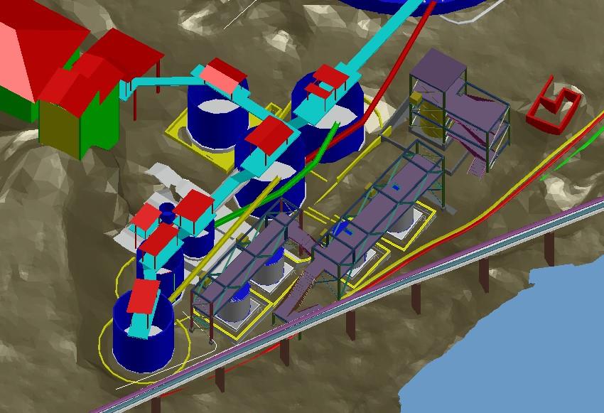
Aerial photogrammetry also known as drone photogrammetry. This technique, which uses aerial and ground images to obtain precise measurements and three-dimensional models, offers a number of key benefits for the planning and execution of public infrastructure projects.

- Precision and Accuracy: One of the greatest benefits of photogrammetry in public infrastructure construction is its ability to provide precise and accurate measurements. High-resolution aerial and ground images capture minute details of the terrain and existing structures. This allows engineers and architects to work with reliable data to make critical decisions in project design and execution.
- Reduction in Project Costs and Time: Photogrammetry significantly speeds up the topographic survey process and data capture. Compared to traditional manual measurement techniques or total stations, photogrammetry saves considerable time and resources. This results in reduced project costs and faster completion of public works.
- Improved Planning and Design: Photogrammetry provides a comprehensive and detailed view of the construction environment. Engineers and designers can use three-dimensional models to analyze the terrain, identify potential challenges, and optimize the placement of infrastructure. This leads to a more efficient design and the minimization of unforeseen problems during construction.
- Progress Monitoring and Control: During project execution, photogrammetry can be used for progress monitoring and control. By comparing images before and after the works, it is possible to evaluate the progress and quality of the work. This facilitates timely decision-making and allows deviations to be corrected before they become costly problems.
- Safety and Risk Reduction: Photogrammetry also contributes to improving safety in public works. By providing detailed information about terrain and site conditions, construction teams can identify and mitigate potential risks. Additionally, accurate planning reduces the likelihood of accidents and mishaps.
- Complete Project Documentation: Photogrammetry creates complete project documentation that includes images, 3D models, and detailed measurements. This is invaluable for future references, maintenance and possible infrastructure expansions. It also facilitates communication with stakeholders and reporting to regulatory authorities.
- Improved Decision Making: By having accurate and updated data in real time, project managers and authorities can make informed and strategic decisions. This is especially important in public infrastructure projects, where the financial and social implications are significant.
- Minimizing Environmental Impact: The ability to accurately assess terrain and environmental conditions allows project planners to minimize environmental impact. This includes protecting sensitive areas and implementing measures to reduce the ecological footprint of the building.
This technology has proven to be a valuable tool for engineers and architects working on public infrastructure projects, contributing to the creation of more efficient, sustainable and safe infrastructure for communities around the world. Contact Acero Estudio and request more information about our aerial photogrammetry service with the use of drones.


