Differences Between Topographic Levels and Types of Leveling

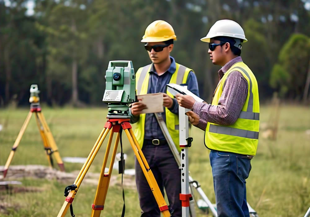
realizando un levantamiento topografico

Among our clients, we’ve noticed an interest in clarifying the differences between topographic levels (tools) and leveling methodologies (procedures).

Types of Topographic Levels

In the field of topography, using different types of levels is essential for ensuring accuracy in height and distance measurements. Each type of level has its own purpose and characteristics, and its selection depends on the specific needs of the project.

Plane Levels
Plane levels, also known as optical levels, are primarily used to measure the horizontality of a terrain. This type of level requires the operator to manually adjust the instrument to make it horizontal before taking readings. They are ideal for simple leveling projects where it’s necessary to ensure that a surface is level in relation to a horizontal plane. They are widely used in construction and landscaping projects where ensuring the land or structural elements are perfectly level is necessary.

Line Levels
Line levels are more precise instruments that project a horizontal line on the ground, facilitating the alignment of structures across a surface. Unlike plane levels, they don’t require constant adjustments, making them faster and more efficient in repetitive alignment tasks. They are used in infrastructure projects, such as the installation of pipes or the alignment of pillars, where precision in height and alignment is crucial.

Automatic Levels
Automatic levels, also known as self-leveling levels, are the most advanced. They use a compensator that automatically adjusts the instrument to achieve perfect horizontality, eliminating human errors. They are extremely precise and are used in large-scale projects where accuracy is vital. This type of level is very common in civil engineering projects, road construction, and high-precision topographic surveys.

Types of Leveling

Leveling, the process by which the height difference between points on the ground is determined, can be carried out in various ways.

Trigonometric Leveling
Trigonometric leveling is based on trigonometric calculations using angles of elevation or depression and horizontal distances to determine the height of one point relative to another. This method is useful in rugged terrain or when the distances between points are long. It is employed in projects that require measuring height differences in uneven terrain or mountainous areas.

Height Leveling
Also known as geometric leveling, this is the most common method in topography. It consists of the direct measurement of height differences between several points using instruments like the automatic level. It is the most precise method and is used when high accuracy is required. It’s ideal for building construction, roads, and infrastructure projects that require precise height data.

Barometric Leveling
This type of leveling uses atmospheric pressure to estimate the altitude of different points. While it is less accurate than other methods, it is useful for preliminary studies in large areas. It is used in extensive topographic studies where millimetric precision is not required, such as in geographic explorations or environmental surveys.

Simple Leveling
Simple leveling involves measuring the height difference between two points using a handheld level or basic instrument. It is suitable for small projects where it is necessary to quickly determine the slope of the terrain. It is used in the construction of small lots, post installation, or landscaping projects.

Why Choose Acero Estudio as Your Topography Service Provider?

Acero Estudio is a company specialized in topographic surveys with over 10 years of experience in the industry. We use the most advanced technologies, such as drones for photogrammetry, and apply precise leveling methods to guarantee the accuracy of our work in all types of projects. Our team of experts is ready to offer personalized solutions tailored to each client’s needs.

If you’re looking for a reliable company for your next topographic project, contact Acero Estudio. We are ready to provide you with the best service in topographic surveys and drone topography.

What are the Differences and Similarities between BIM and CAD?

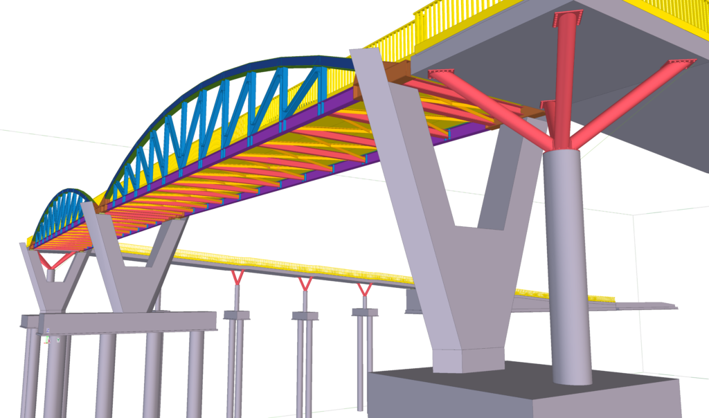
diferencias entre bim y cad
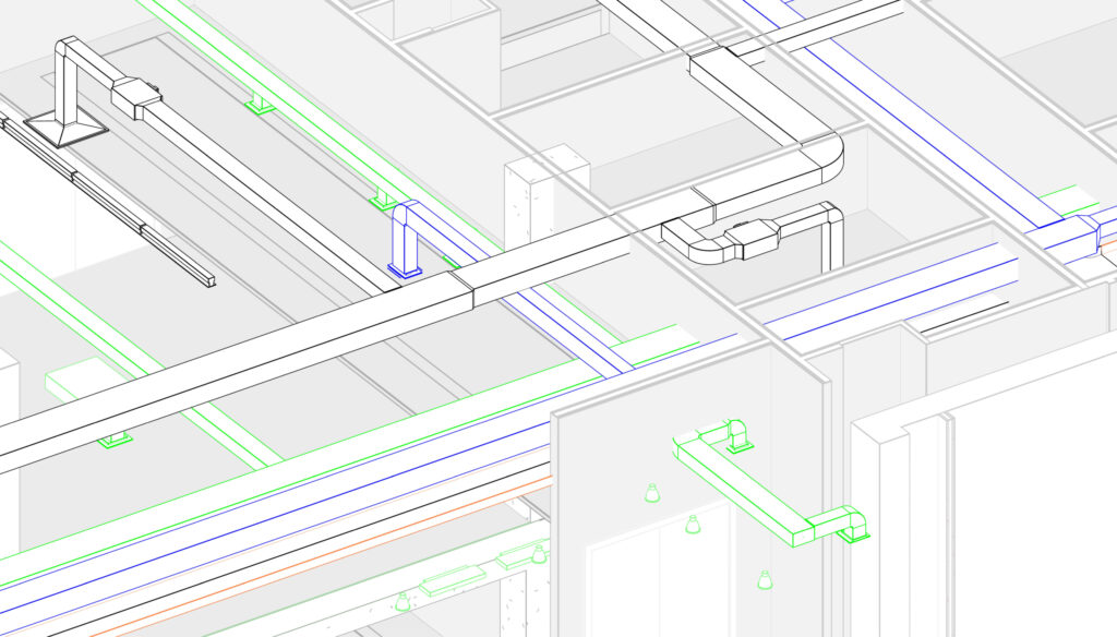
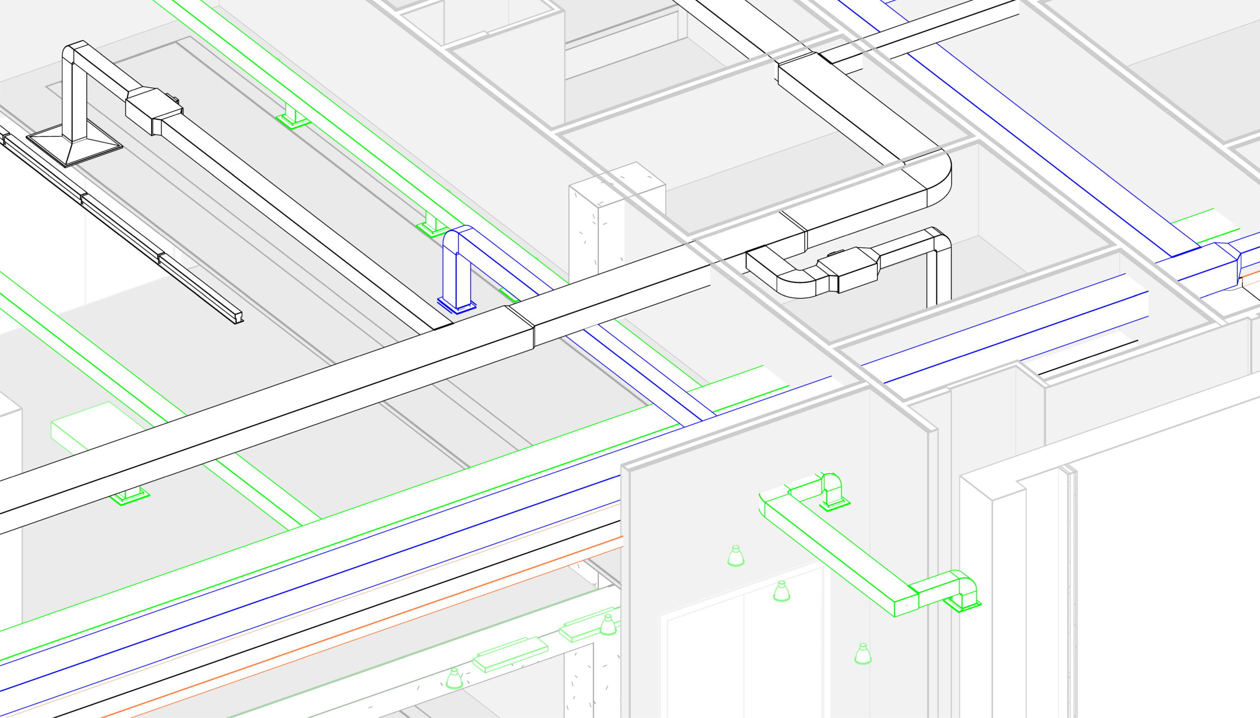
In the construction and architecture industry, CAD and BIM technologies and methodologies are widely used in the development of complex infrastructure. In this article, we will clarify some doubts regarding the parallels and differences between these technologies.
Bear in mind that while both have similarities, they present significant differences in terms of the philosophy and way of working they entail.

Parallels between CAD and BIM

The first thing to highlight is that both technologies aim to create models that represent the project in advance, allowing for a preview so that stakeholders and construction professionals have adequate graphical information to understand and build the plans.
Among the similarities between CAD and BIM, we have:
  1. Graphical Representation: Both methods allow for the creation of 2D and 3D drawings and models, enabling adequate previewing.
  2. Design Presentation: Ideas are difficult to convey without a graphical interface, which is what both technologies provide.
  3. Aid and Guide in Construction: Both the CAD-generated model and the BIM model help in the precise construction of a project.

Divergences between CAD and BIM Technologies

Despite these similarities, there are fundamental differences that distinguish CAD from BIM, especially in terms of information management.
CAD (Computer-Aided Design)
  1. Geometric Focus: CAD design primarily focuses on creating geometric drawings that provide a detailed visual representation but lack additional information about the construction elements.
  2. Limited Data: CAD models, though precise in terms of geometry, do not contain data on the relationships between elements or their behavior. This means additional details, such as material specifications or physical properties, must be managed separately.
  3. Collaborative Aspect: CAD mainly relies on file exchanges where all development versions must be updated, which is prone to errors and conflicts.
BIM (Building Information Modeling)
  1. Beyond Geometry: BIM not only provides geometric representations of the building but also captures metadata, the behavior of construction elements, and information such as materials, duration, costs, etc.
  2. Centralized Database: BIM has a centralized database containing all project information, allowing for efficient and precise management, reducing the likelihood of errors.
  3. Effective Collaboration: The centralized database also facilitates effective collaboration among all project participants. By working with a centralized model, all changes and updates are reflected in real time, ensuring that everyone works with the most recent and accurate information.
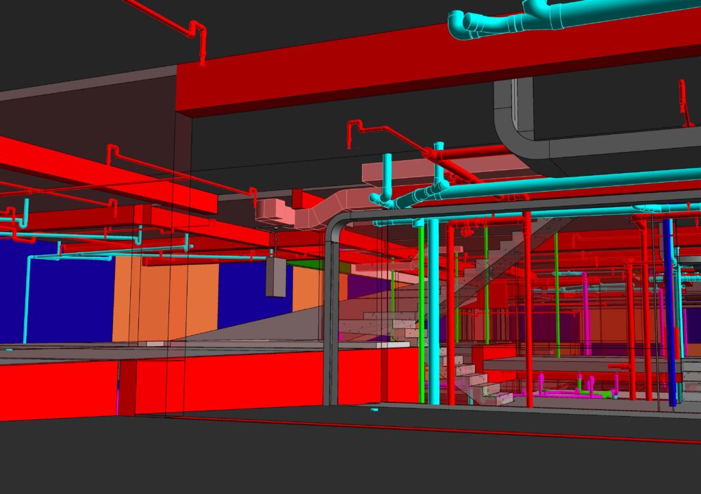
  4. Improved Efficiency: Thanks to the integration of measurement data, materials, and resistances, among others, the BIM methodology allows for the simulation of the building’s behavior, improving work efficiency and significantly reducing project errors and risks.
Now that you know the characteristics of BIM and CAD, we invite you to contact us. Acero Estudio has experienced professionals providing BIM consulting or BIM modeling and CAD outsourcing advice. Contact us and request information about our services; we are here to help you grow.

The Benefits of Outsourcing BIM Modeling

Outsourcing BIM modeling services provides access to a pool of highly skilled professionals with specialized expertise in BIM software and methodologies, without incurring the costs associated with having such personnel in the company. These experts bring years of experience and advanced knowledge to the table, ensuring that projects are executed with precision and efficiency. By leveraging the expertise of outsourced teams, firms can tackle complex modeling challenges with confidence and deliver high-quality solutions to their clients.

Moreover, one of the primary benefits of outsourcing BIM modeling services is cost savings. Outsourced firms often operate in regions with lower labor costs, allowing clients to access top-tier talent at a fraction of the cost of maintaining an in-house team. Additionally, outsourcing eliminates the need for investment in infrastructure, software licenses, and training, further reducing operational expenses. By outsourcing BIM modeling services, firms can optimize their budget allocation and achieve greater profitability on their projects.

Furthermore, outsourcing offers firms the flexibility to scale their resources up or down based on project requirements. Whether it’s a large-scale development or a small-scale renovation, outsourced teams can quickly adjust their capacity to meet the demands of the project. This scalability ensures that firms have access to the right resources at the right time, enabling them to deliver projects on schedule and within budget.

By outsourcing BIM modeling services, firms can streamline their project workflows and improve overall efficiency. Outsourced teams are well-versed in BIM best practices and standards, allowing for seamless collaboration and coordination across disciplines. With real-time access to accurate project data and 3D models, stakeholders can make informed decisions, identify potential clashes, and mitigate risks early in the modeling process. This proactive approach minimizes rework, reduces project delays, and enhances project outcomes.

Lastly, outsourcing BIM modeling services allows firms to focus on their core competencies and strategic initiatives. By delegating modeling-related tasks to external partners, firms can allocate their internal resources more effectively, concentrating on value-added activities such as design innovation, client engagement, and business development. This strategic alignment enables firms to stay ahead of the competition and drive sustainable growth in a rapidly evolving industry.

Tekla Structures flexibility, precision and efficiency

Tekla software offers high value solutions in the engineering industry focused on structural design, manufacturing and assembly, which guarantee the constructability of projects and the creation of highly detailed models.

The applied technology allows contractors to manage risk and plan the construction process accurately by creating safer structural models, where the analysis of their data allows informed decisions to be made at all stages of the project and minimizes uncertainties. .

Currently, efficient collaboration and communication between stakeholders, as well as interoperability between the different design and calculation software in the industry, are crucial for the success of any project, especially if it is framed in BIM work methodologies. .

Tekla software is a specific response to an area of ​​the industry that demands highly developed structural information models, handling data with greater accuracy and more precise calculations.

Acero Estudio has extensive experience in the use of this tool as a result of the practice and continuous training of our staff.

SCAN to BIM and COVID-19 Campo Grande Station, Valladolid

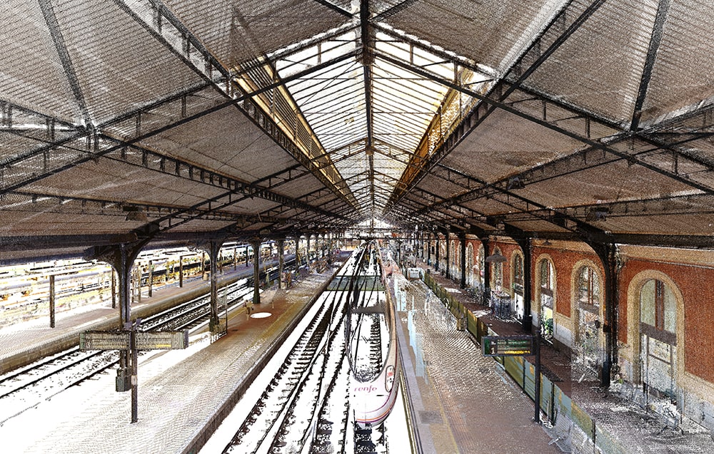
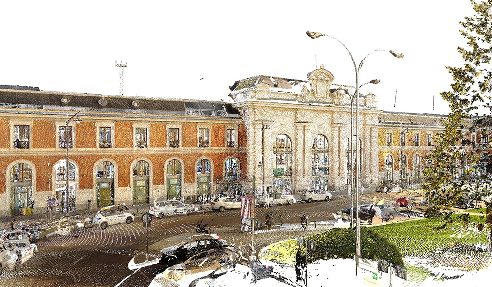
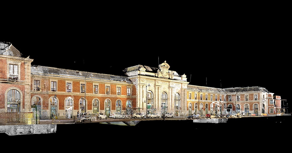
Our team has carried out the 3D laser scanning of the Campo Grande Station of Adif, located in Valladolid, in full state of alarm.

The team was able to move around and execute the scanning tasks of all the facilities of the station, both inside and outside, where they found a different scenario than usual. The nature of the high traffic of people had been reduced to a minimum, allowing the scanning tasks to be accomplished in full daylight and with the area practically deserted.

Scan-to-BIM, is a process composed of three main actions: scanning, data recording and modeling. When it comes to surveying the existing conditions of a building or infrastructure, laser scanning is a technological tool that offers multiple advantages over conventional methods. Every day its demand increases, especially at present times, when we are facing a pandemic in which security measures force to reduce the mobility and the concentration of people.

3d laser escanner servoo

At this point, 389 scans were made with the Faro Focus 3D X330 scanner, in which all the essential information, measurements, volumes of high quality images and dynamic range (HDR) and millions of 3D points were collected in seconds, with a full 360-degree capture range, where the resolution, quality of the points and light capture were adjusted to suit capturing objects and spaces from multiple points of view, different lighting conditions, size of interior spaces and distances to facades.

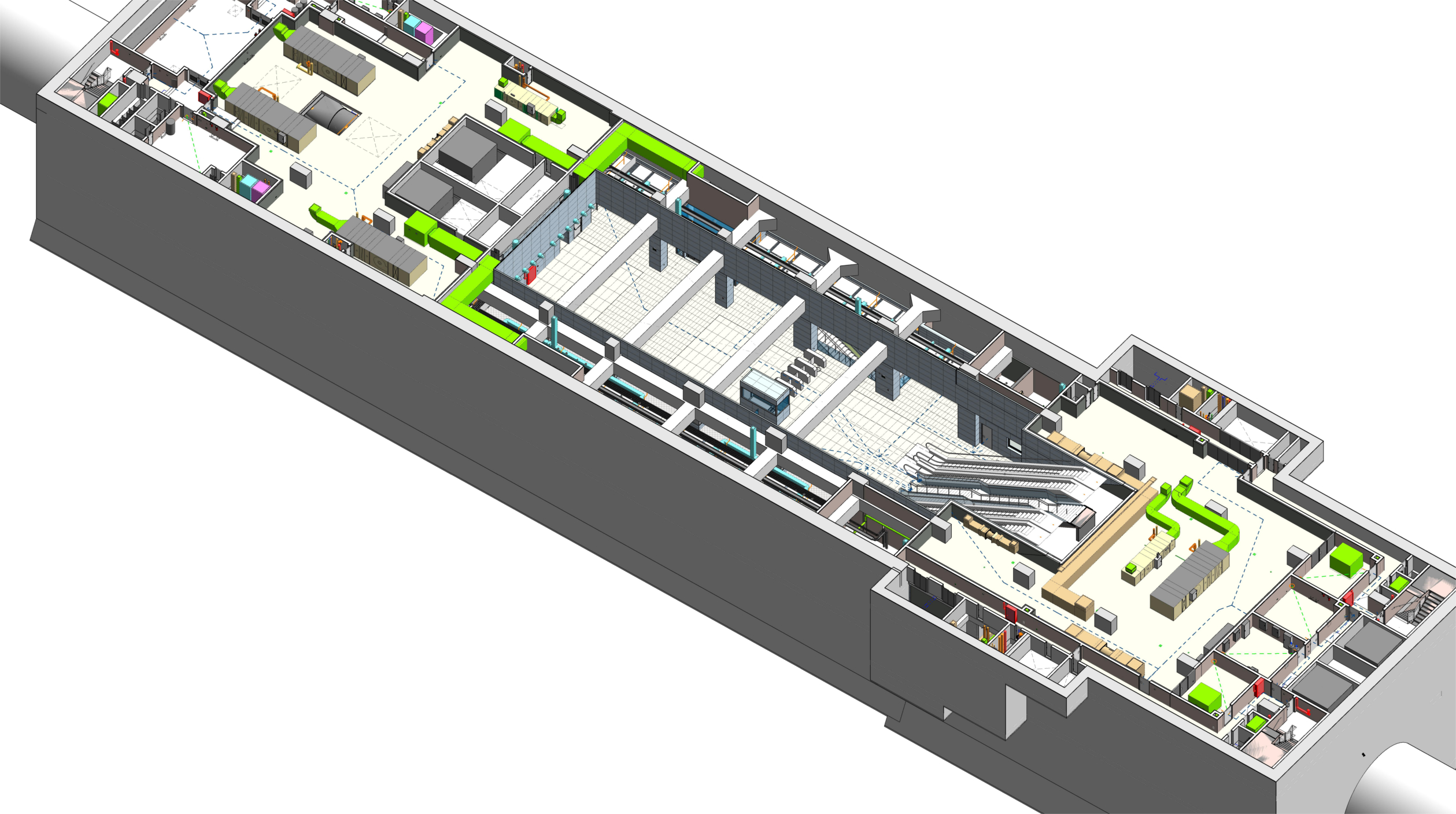
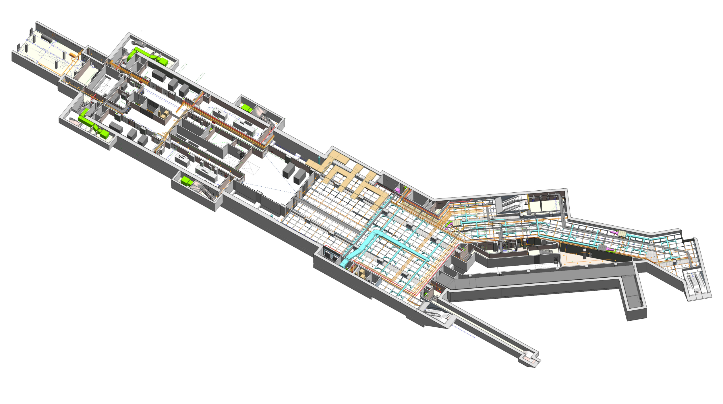
As a result, once the data obtained was already processed, both point clouds and 360 images, using the BIM (Building Information Modeling) methodology, the 3D model of the station was created with a high level of detail and precision, reaching the “LOD 300” Development Level for all the rooms of the building, both on the facades and in the interior spaces. An as-built model, which contains the relevant information of the building, allowing future interventions or maintenance actions to be performed effectively, saving time, resources, obtaining accurate measurements and higher quality in the visualizations.

In conclusion, Scan-to-BIM, is the right technology to perform this kind of work overcoming the difficulties associated with the security measures implemented by the COVID-19, ensuring that it is a fundamental technology to keep the sector and projects in motion, as well as directly benefit the needs of the stakeholders, offering new opportunities that significantly reduce the physical presence to fully understand the parts that make up a project.

We thank our client TYPSA for the trust placed Acero Estudio in our team of BIM Consultants and the effort of coordinating and directing the work carried out.

Acero Estudio at EXPOBIM 2020

expo bim

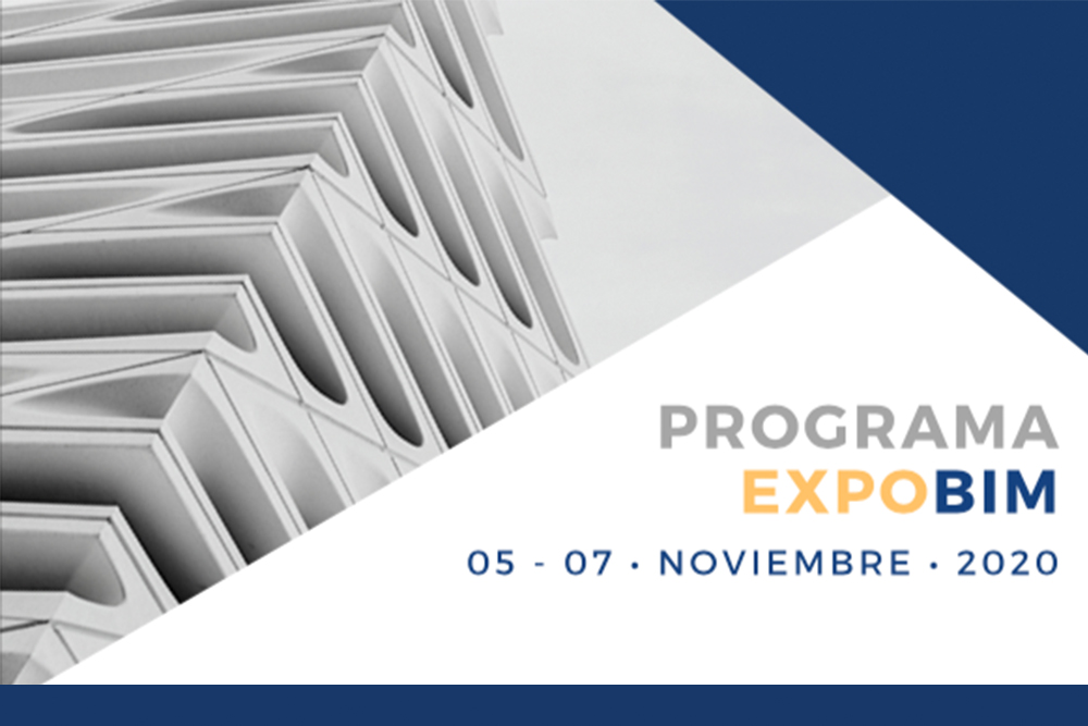
Our BIM expert, Álex Ruiz will present the lecture “Laser scanner and point cloud” at EXPOBIM 2020.

On November the 5th, 6 th and 7th EXPOBIM” 2020 will be held, where Álex Ruiz, from Acero Estudio Peru, BIM Consulting Department, will present the symposium “Laser scanner and point cloud” at the Catholic University of Lima. The congress will be broadcasted through Zoom and Facebook live and will have as speakers, prestigious international experts.

On Thursday the 5th, the event will start with the engineer Pablo Zuñiga Guevara, with his presentation “BIM application in construction projects in Colombia”, and will be followed by the architect Sergio Villanueva-Meyer with “Innovation methodologies in the construction industry”.

On Friday, the two presentations are “BIM from the technical side”, by the engineer Jonattan Gómez Araya and the day will end with Renzo Ríos Rugel who will take about “Automation in BIM”.

The last day, Saturday the 7th, will begin with “Infrastructure in BIM” whose speaker is the engineer Alejandro Alvarazo Lezama, and to finish the event, Álex Ruiz will expose the symposium “Laser scanner and point cloud”, an expert in photogrammetry and 3D laser scanning of the Acero Estudio team in Peru.

An essential event for all of us who work with BIM in the construction sector.