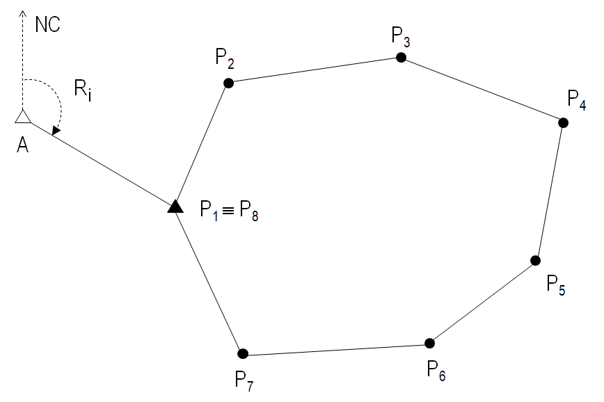
Polygonal topography is a surveying method based on creating a model composed of interconnected points that form polygonal shapes. These vertices, which connect to each other, give rise to the term “polygonal,” derived from their geometric forms.
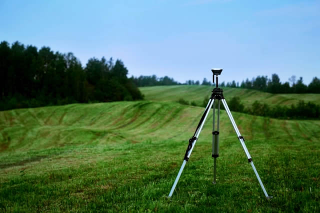
Topography has been used since ancient times to determine the characteristics of terrains. However, its use has been consolidated today thanks to various advancements in topographic measuring instruments, such as GPS technology, which provides great accuracy in representing properties.
Applications of the Polygonal Method
Discover the four main uses of this topographic method:
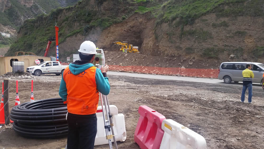
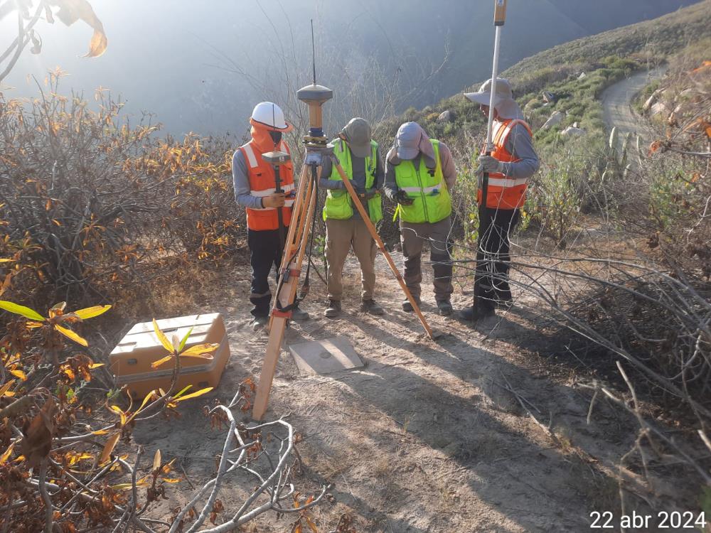
- Topographic Surveys: The polygonal method helps us obtain precise data of the terrain, which are necessary for the planning and execution of construction projects.
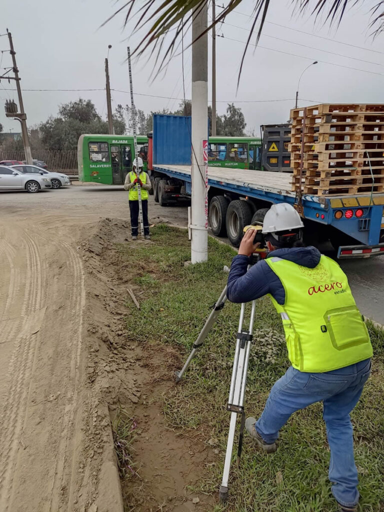
- Property Delimitation: Establishing boundaries is important for property cadastre, and the polygonal method helps us demarcate these boundaries, ensuring accurate maps and legal documents.
- Construction Projects: During the construction process, the polygonal method can be used to verify that the work is being developed according to plans and specifications.
- Geodesy: In map creation, polygonal topography is essential for good resource management and infrastructure development.
Benefits of the Polygonal Method
The polygonal method offers numerous benefits like:
- High Precision
- Versatility
- Efficiency
- Reliability
Now that you know a bit more about the polygonal technique, we invite you to contact us. We are Acero Estudio, a consulting firm specializing in topography services and drone topography. We offer a wide range of solutions for the construction, architecture, infrastructure, and mining industries.
Contact us and benefit from working with experience, professionalism, and the guarantee of precise work. Our 25 years of experience and projects in Europe and Latin America back us up.