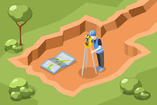
In the mining sector, surveying is a key component throughout the entire production process—from exploration, during extraction, and finally in mine closure—due to the benefits it provides in achieving efficient resource management in the extractive industry.
Thanks to the work of companies like Acero Estudio and its surveying services, mining companies can:
- Accurately calculate the extracted and processed tonnage.
- Recalculate proven reserves and optimize processes.
- Effectively plan the continuity of their operations.
- Reduce risks and comply with environmental and safety regulations.
What Equipment Do We Use in Mining Surveying?
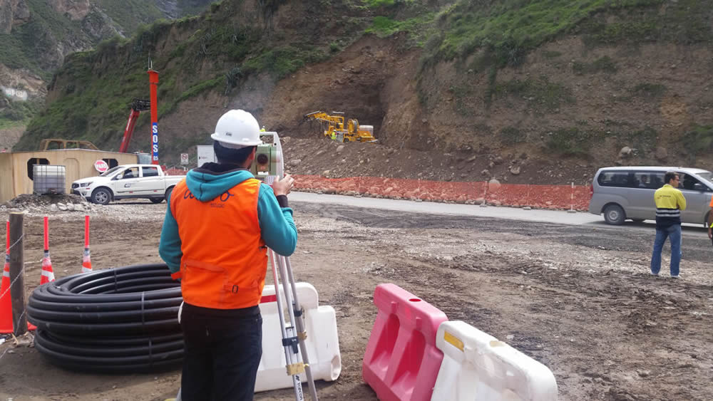
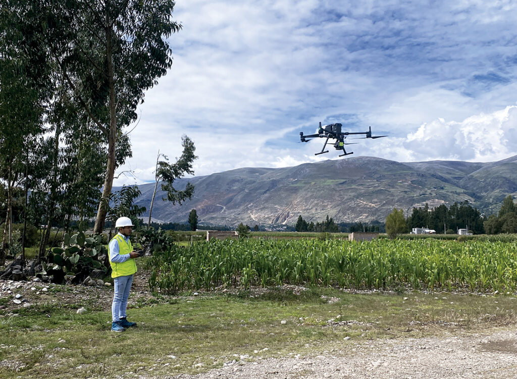
While traditional tools like levels and total stations are always useful, the mining industry requires modern tools and cutting-edge technology. For this reason, at Acero Estudio, we focus on this sector by employing UAV (Unmanned Aerial Vehicles) or advanced drones equipped with high-resolution sensors. Using these innovative tools allows us to obtain detailed and reliable information in less time and with greater safety.
Drone technology is a key resource in mining surveying, as it significantly improves process efficiency and minimizes risks associated with working in unstable or hard-to-access terrains.
Advantages of Using Drones in Mining Surveying
- Enhanced Safety: Drones enable surveyors to take measurements in unstable or hard-to-reach areas without exposing themselves to danger.
- Faster Data Collection: Thanks to their advanced sensors, drones capture topographic information much faster than traditional surveying techniques.
- Quick 3D Model Generation: The data collected allows for the rapid creation of precise three-dimensional terrain models, facilitating planning and decision-making.
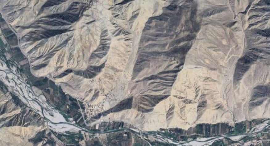
Additionally, UAV drone technology enables us to project roads and new explorations based on the terrain’s characteristics. This is crucial in an industry where a significant portion of investment is dedicated to finding new deposits. Aerial surveying helps optimize access routes, assess project feasibility, and improve exploration logistics.
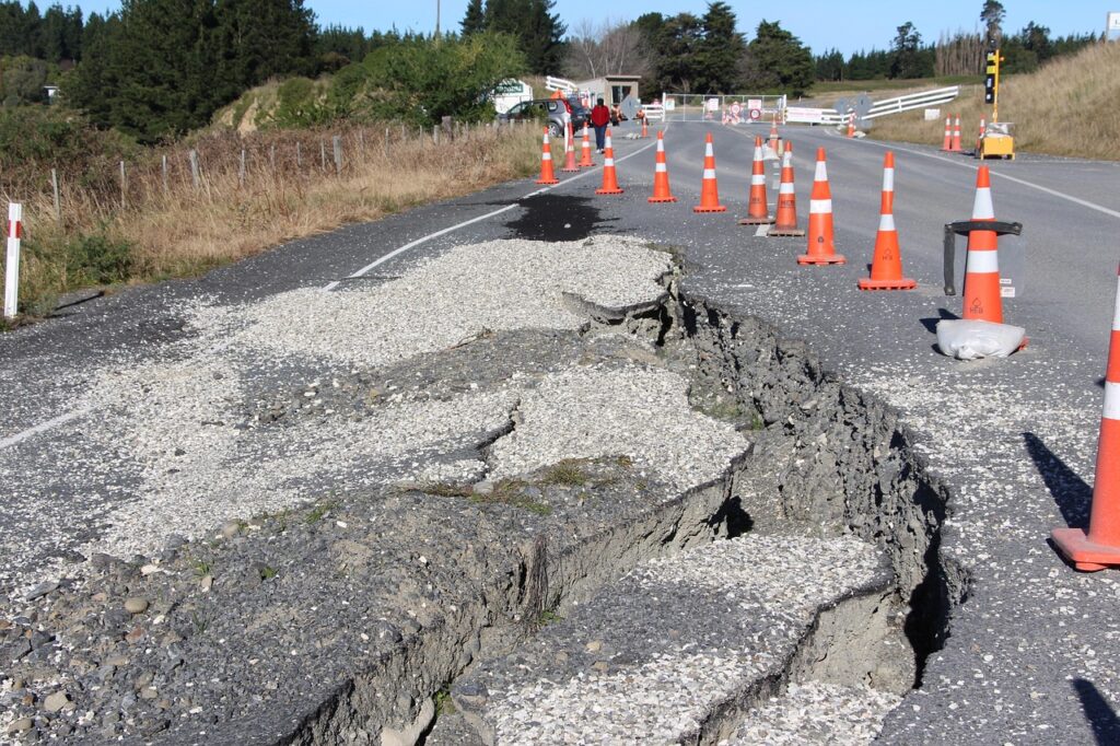
Finally, topographic information is essential for mine closure operations. Conducting topographic evaluations throughout the entire mining process is vital to prevent leaving areas exposed to landslides or floods. A proper terrain study during the closure phase helps mitigate environmental risks and ensures post-exploitation land stability.
At Acero Estudio, a specialized surveying company, we are committed to innovation and technology in mining surveying, ensuring precise results for our clients. Contact us, and let’s discuss how we can assist you.