Lacramarca topographic studies.

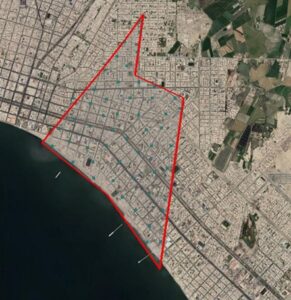
We are advancing at a good pace in the works of the Topography Study for the project:

“Riverside defenses of the Lacramarca river”.

From Acero Estudio LATAM, in Peru, we provide field and cabinet services for the development of this project included in the Comprehensive Plan for Reconstruction with Changes (PIRCC) to restore all the physical infrastructure damaged and destroyed by the El Niño Costero Phenomenon in 13 regions of the country: Áncash, Arequipa, Ayacucho, Cajamarca, Huancavelica, Ica, Junín, La Libertad, Lambayeque, Lima, Loreto, Piura and Tumbes.

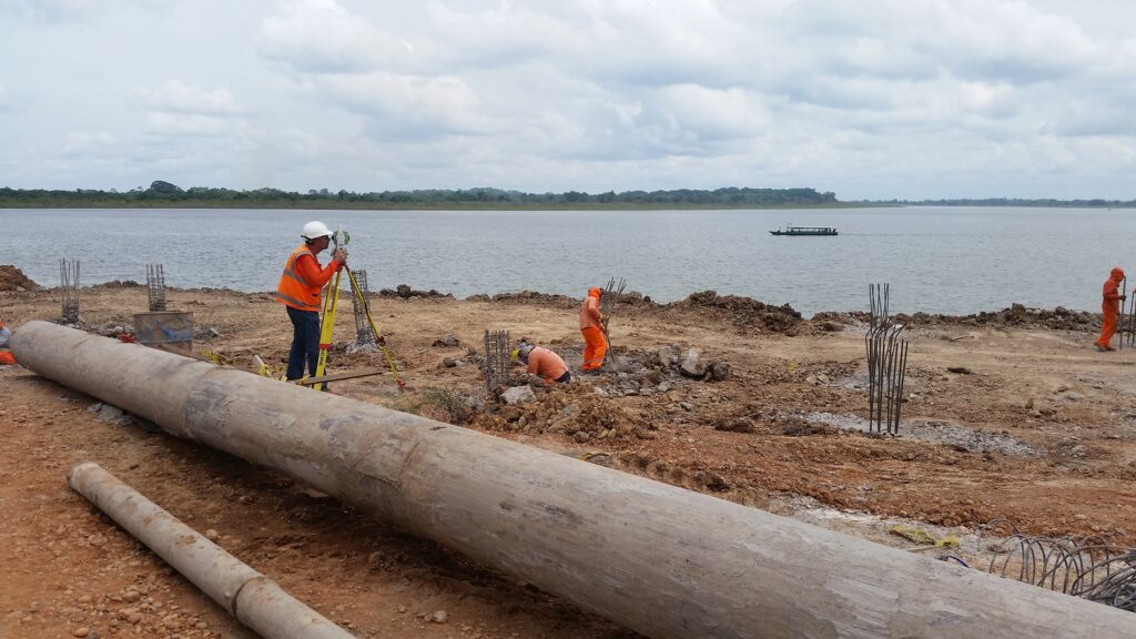
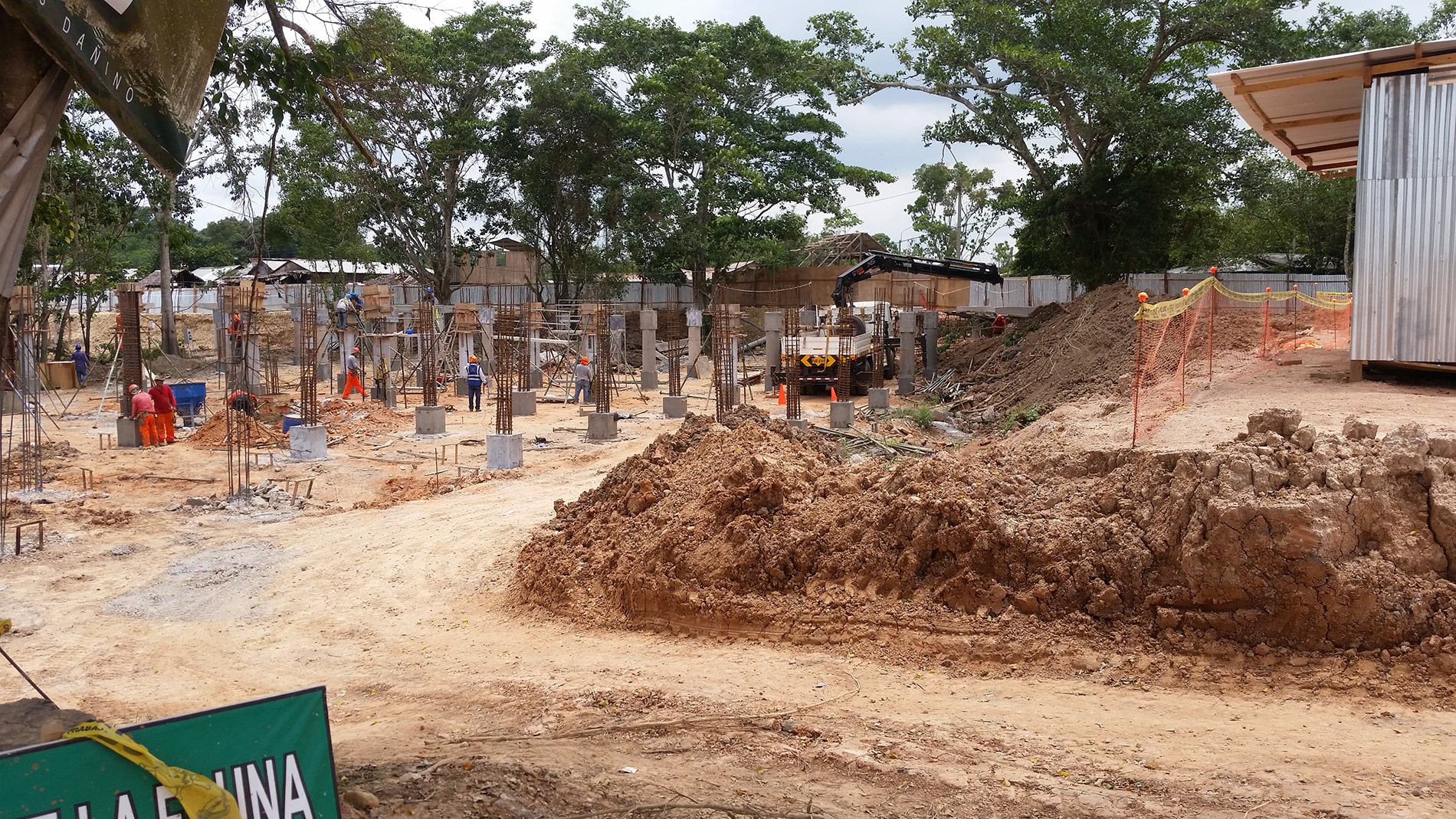
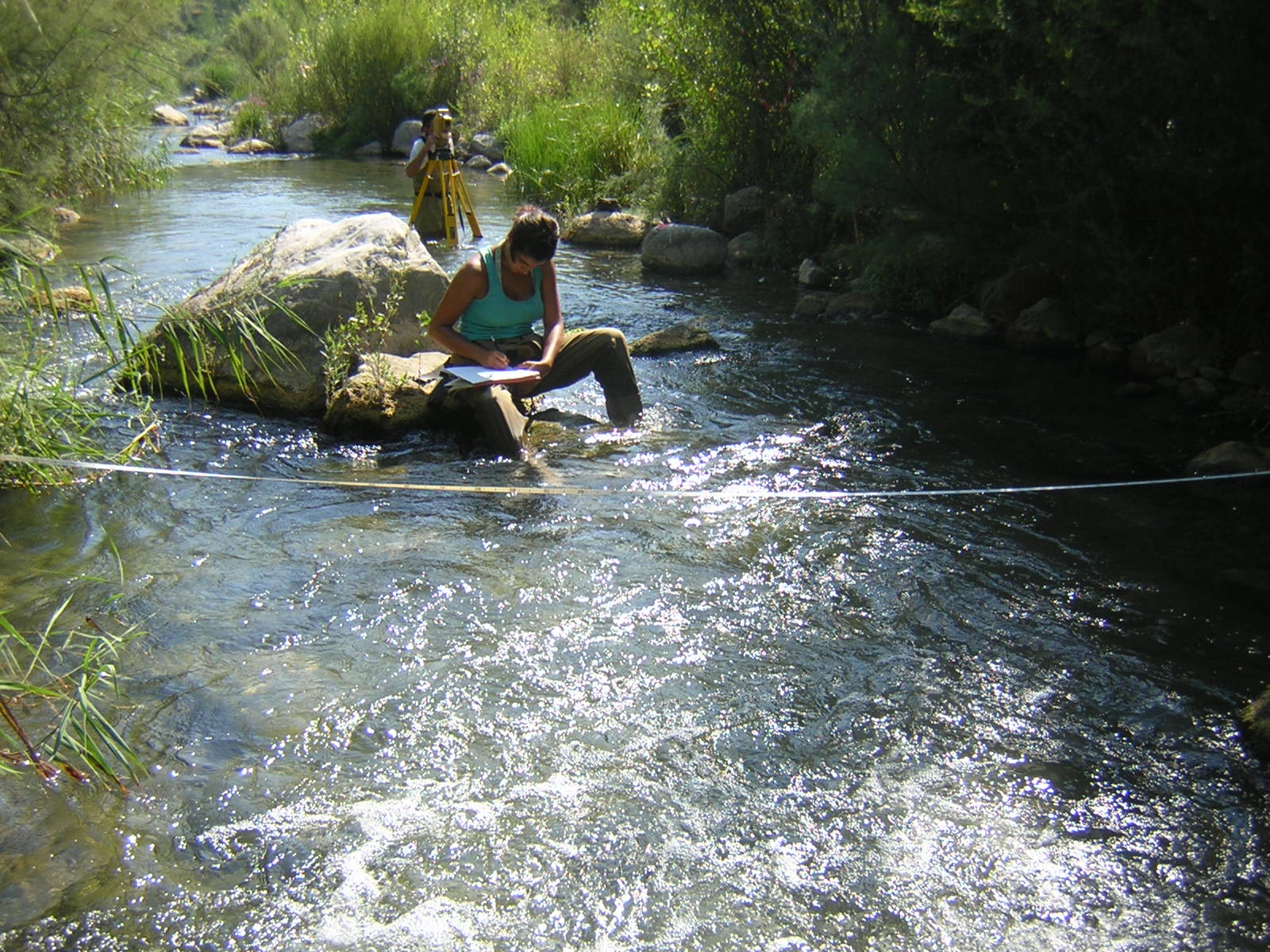
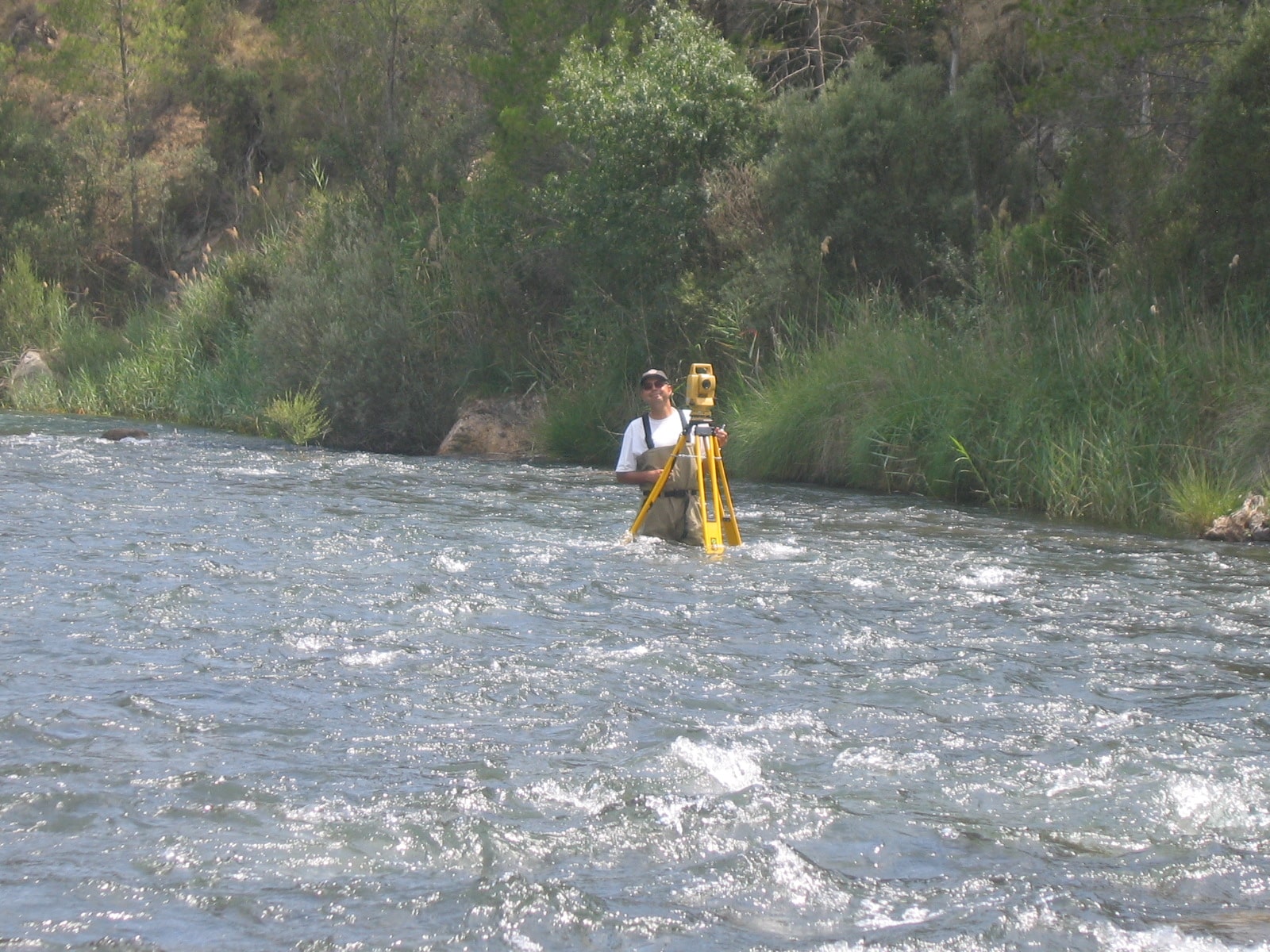
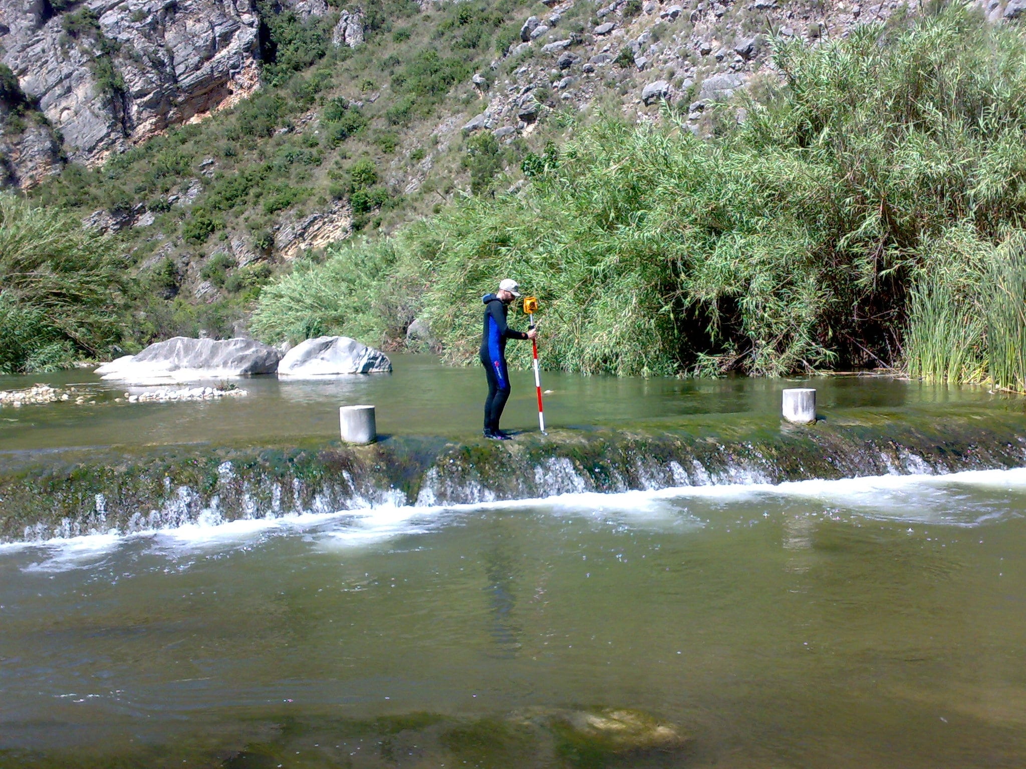
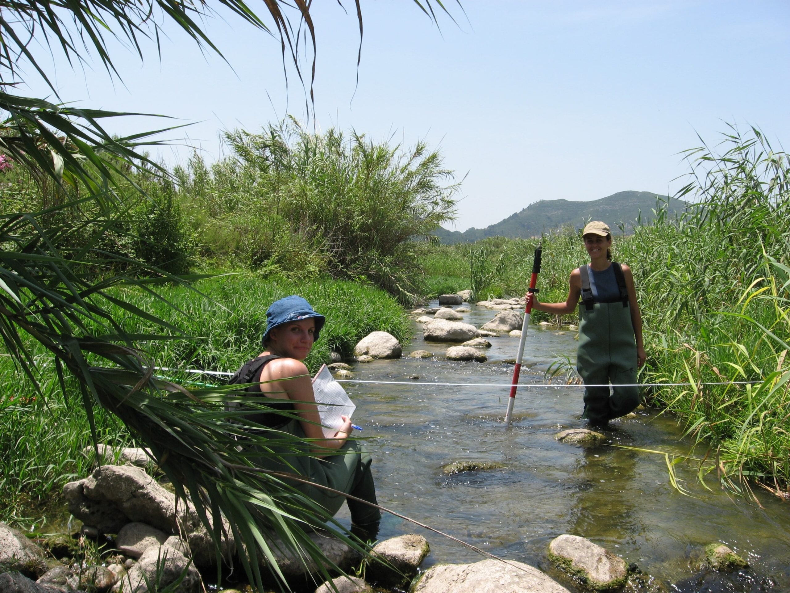
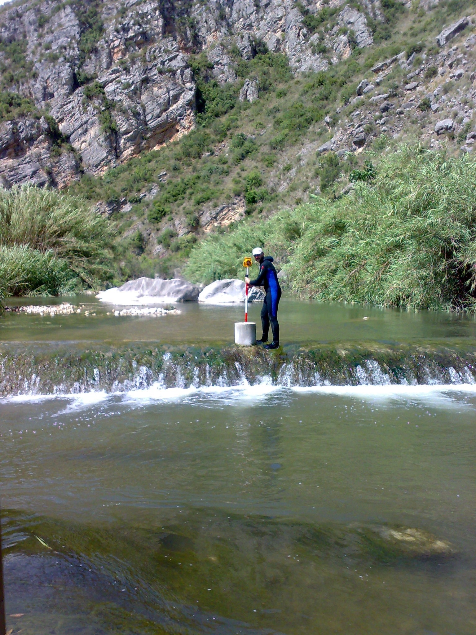
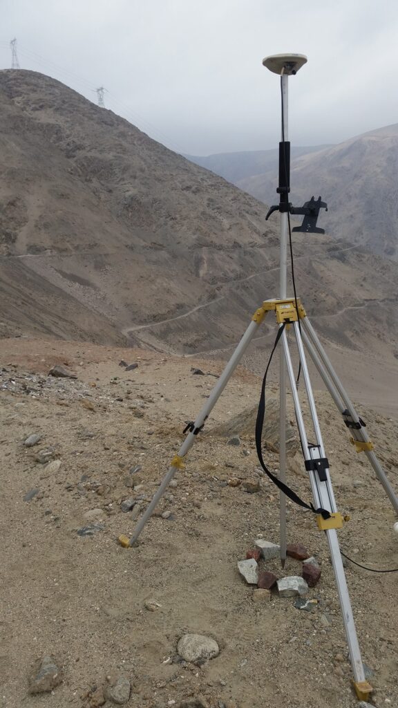
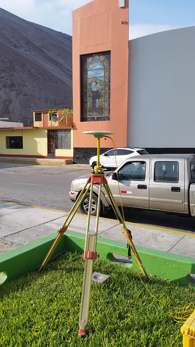
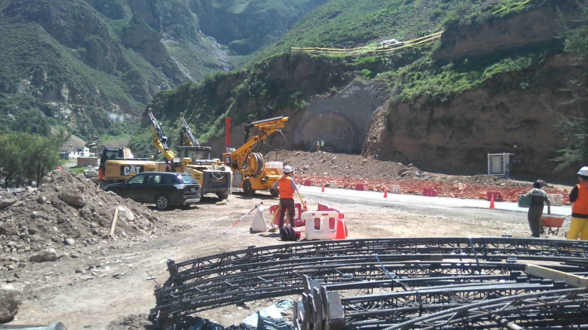
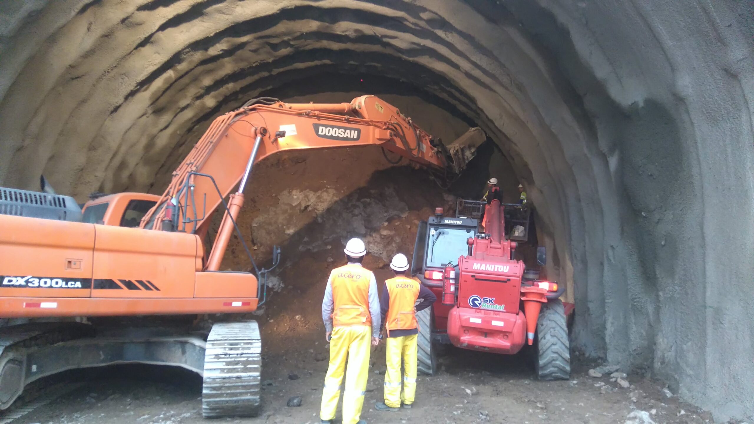
Our participation in this project consists of the topographical survey and preparation of the digital terrain model of the area in which the actions of this project are carried out in the preparation of topographical plans and records, as well as generating the volumetric reports on earthworks and civil works. . We also participate in meetings to reconcile the distance measurements of haulage routes and the volume of production of various materials.

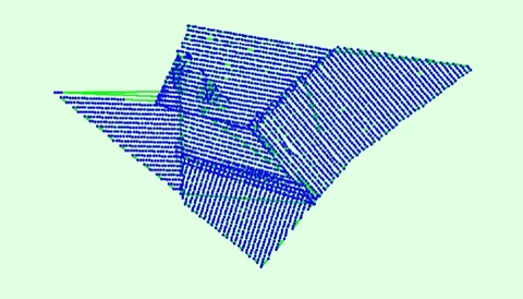
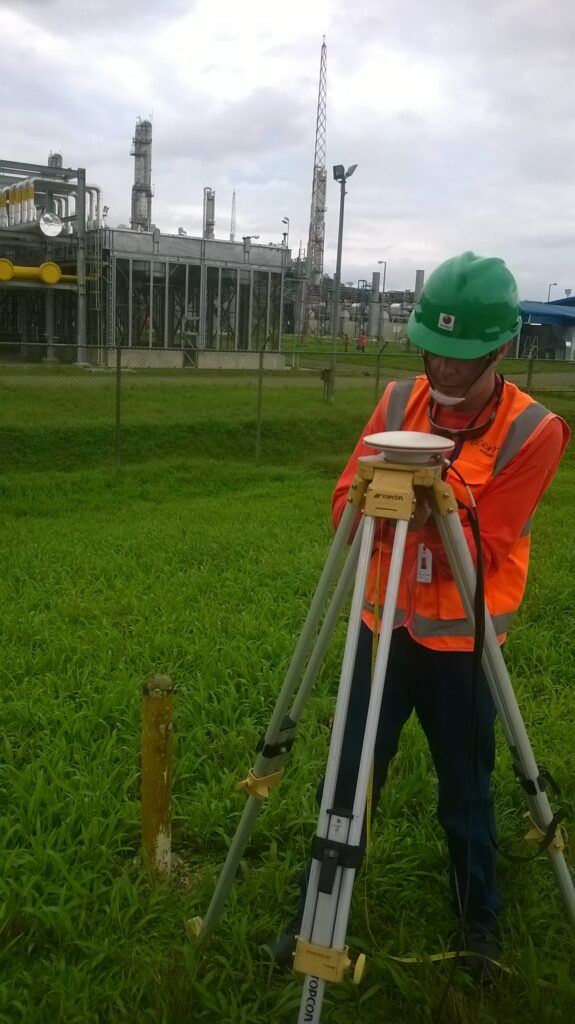
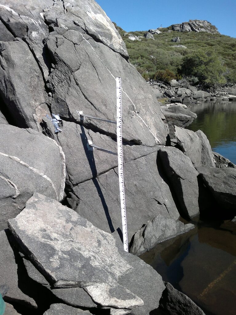
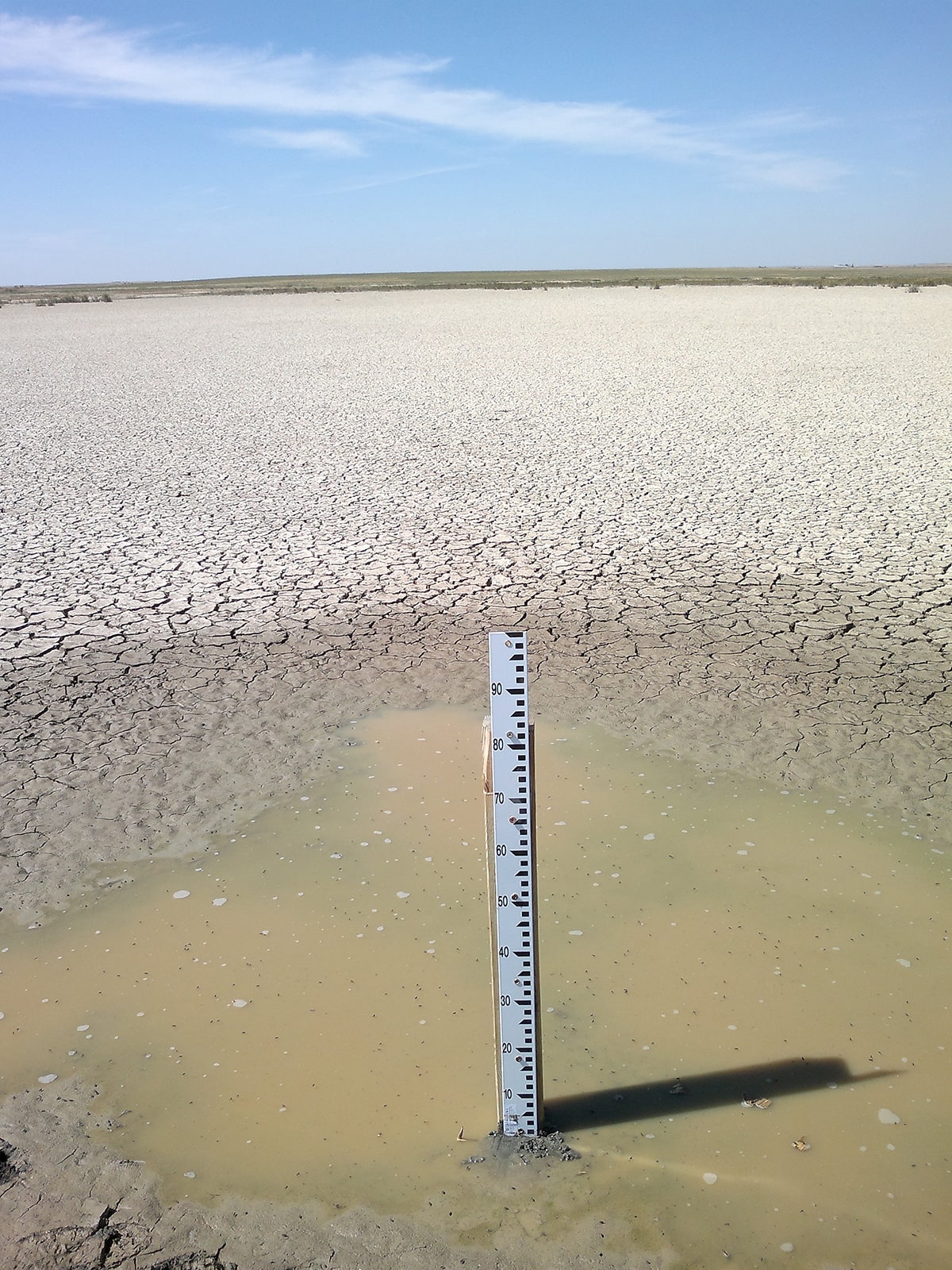
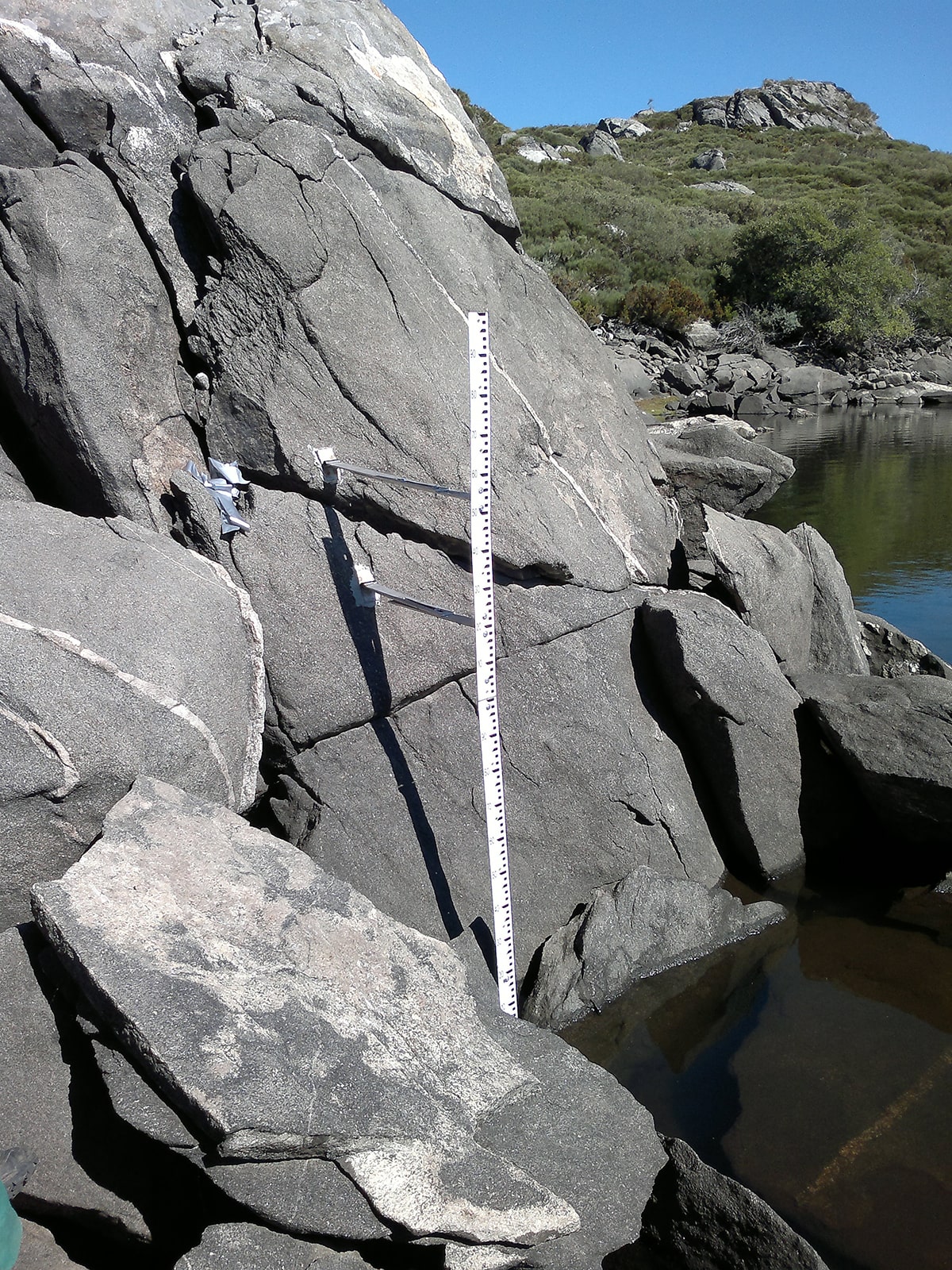
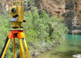
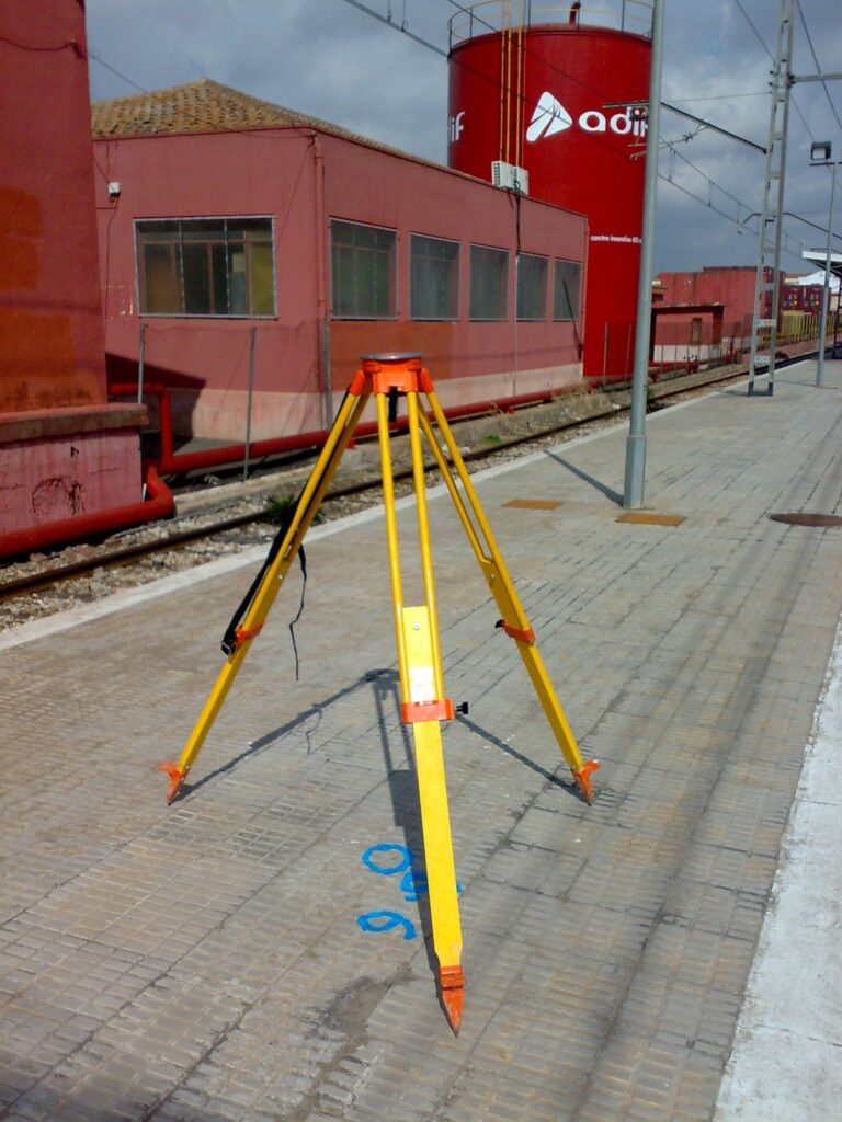
Specific topographic surveys have been carried out to represent the terrain and the various existing elements contained in the digital model at different scales, such as bridges, intakes and other structures using different technologies, total station, GPS, drones, Lidar, echo sounder and level.

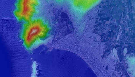
Among others, we use PIX4Dmatic software, state-of-the-art photogrammetry software for terrestrial, large-scale and corridor mapping.

We thank ARTIFICIAL for the trust placed in our team.


Drones and their impact on the construction sector

We are at a time when the use of high quality technology can become a fundamental ally when it comes to standing out in the market of different industries. In the construction sector, for example, the use of advanced technology drones means a simplification in the processes to carry out eminent projects.

The ability of drones to collect real-time data on the job site has dramatically increased workflow and efficiency in design and construction. Drones are most often used in construction to conduct site surveys. These capture a large amount of data that is usually inaccessible visually, as they have a point of view free of obstacles and at a great height.

Likewise, this contributes to a safer work, since the drones can inspect difficult or dangerous terrain, keeping personnel out of danger and avoiding transit through areas that could be dangerous. For all these reasons, drones are replacing traditional methods of ground surveillance and greatly reducing the time and manual work required.

According to a report in the scientific journal Journal of Unmanned Vehicle Systems, the use of drones for taking measurements and levels of a terrain, allows a reduction of working time of 50% with respect to drones. traditional surveying methods. In addition, it represents a reduction in lifting costs of 75%.

Our company, Acero Estudio, supervises the progress of the GECAMA wind farm in Cuenca, with the help of this technology and also offer surveying with drones.

We leave you some photos of the project and how the work is progressing.

Topographic Technical Assistance in the study of Ecological Flows

Acero Estudio is a leader in providing topographic technical assistance for the study of ecological flows and river systems in Spain. With a focus on environmental conservation, our specialized topographic surveys play a crucial role in the sustainable management of water resources, helping ensure that ecosystems thrive while supporting human activities.

Ecological flows refer to the quantity, timing, and quality of water flows required to sustain the health of rivers, streams, and wetlands. In Spain, understanding and managing these flows is essential for:

  • Conserving biodiversity: Ecological flows support fish populations, plant growth, and wildlife that depend on healthy water systems.
  • Balancing human needs and nature: Many rivers in Spain are used for agriculture, industry, and urban water supply. Proper flow management ensures that water use is sustainable without damaging ecosystems.
  • Mitigating environmental impacts: Climate change, pollution, and infrastructure projects (such as dams) affect the natural flow of rivers. Studying ecological flows helps mitigate these impacts and restore balance to ecosystems.

Our services include:

  1. Topographic Mapping of River Basins
  2. Elevation and Slope Analysis
  3. Floodplain and Flow Path Analysis
  4. Longitudinal and Cross-Sectional Profiles of Rivers

With our dedicated team of specialists and the use of the latest topographic technology, we ensure that our surveys contribute to effective, sustainable water management strategies. Contact Acero Estudio today to learn more about how we can assist with your ecological flow study and river system projects.

Topography of electric facilities in Caraveli (Peru)

Topographic surveys play a crucial role in the planning and construction of electric generation and distribution facilities, such as the one in Caravelí, Peru. Acero Estudio was contracted to provide topographic support for this project, ensuring precise mapping of the terrain, accurate measurements, and detailed assessments of the site conditions. Our expertise helped guide the design and construction phases, minimizing potential risks and optimizing the placement of electrical infrastructure.

For electric facilities, topographic surveys are essential to identify the best routes for power lines, determine optimal locations for substations, and assess potential environmental and geographical challenges. Acero Estudio’s work in Caravelí included detailed land surveys, elevation mapping, and identification of natural and man-made features that could impact the project. This data was crucial in ensuring the safe and efficient implementation of the electrical installations.

Benefits of Topography in Electric Facilities:

  • Enhanced Safety: Identifying potential hazards and obstacles in advance.
  • Cost Efficiency: Preventing design errors and reducing construction delays.
  • Optimized Design: Providing accurate data for better planning and resource allocation.
  • Regulatory Compliance: Ensuring adherence to environmental and safety standards.

Contact Acero Estudio to learn how our expertise can support your next project, ensuring safe, efficient, and successful outcomes.

Topography in Chacahuaro Tunnel (Peru)

asistencia tecnica en servicios topograficos avanzados a proyecto de túnel chacahuaro

Acero Estudio was the provider selected to develop topographic support for the construction of the Chacahuaro Tunnel in Lima, Peru. This challenging infrastructure project required topographic surveys to ensure the tunnel’s alignment, safety, and structural integrity. Our team conducted detailed terrain analysis, mapping, and elevation assessments, delivering accurate data critical to the tunnel’s design and construction.

With our equipment, including total stations, GPS systems, and LIDAR technology, we identified key geographical features and potential obstacles that could impact the construction process. Our technical expertise played a vital role in guiding the excavation and alignment of the tunnel, ensuring that every step of the project adhered to strict engineering standards.

Contact Acero Estudio, to benefit from a specialized team with extensive experience in topographic surveys for major infrastructure projects. Our focus on accuracy, advanced technology, and tailored solutions ensures that every project receives the technical support it needs to succeed.