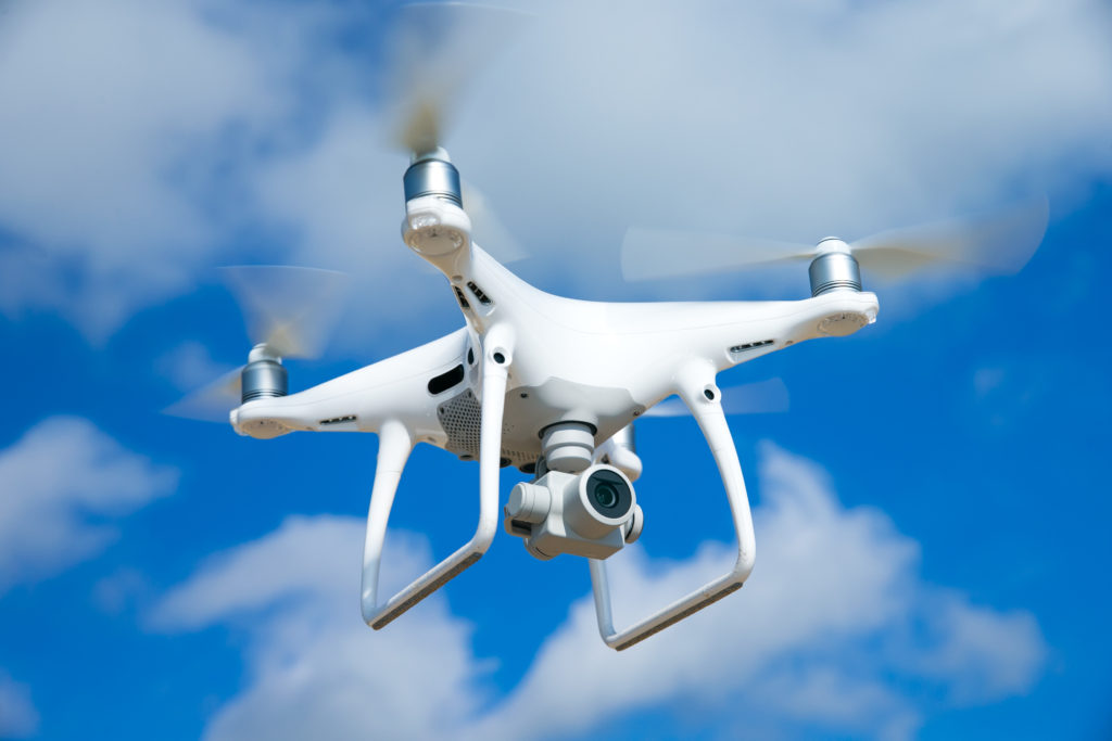
Surveyors and GIS professionals have very high standards when it comes to their tools and their craft. Therefore, it is not surprising that many are turning to drones when requesting a surveying, mapping and 3D modeling service. Drones achieve results that meet surveying accuracy standards and, compared to traditional surveying techniques, dramatically reduce the time, cost and effort required.
Drone surveying is more complicated than taking a few photos from above. This requires several steps, from the preparation of ground control points, through mission planning, to the processing of the images that are captured with the topography software.
Within drone surveying, one technique that has been successful in 3D modeling is the use of oblique drone photogrammetry, in which images are captured with multiple lenses that are mounted together in an array with fixed axis angles. The resulting images reveal details that are sometimes lost when capturing only vertical photographs.
Using this cutting-edge technology, surveyors have the ultimate surveying solution at their disposal, in terms of precision and efficiency. Thanks to the intelligent oblique capture feature, surveyors can now capture and create 3D models of their targets more effectively than ever.
Oblique photography has many advantages. While a vertical angle can help show the location of features such as buildings, streets or open spaces, oblique aerial photos are better at giving a perspective of the appearance of features rising from the ground such as buildings, topography, foliage, etc. in relation to the ground and the horizon.
Other advantages are:
- Reveals details that might have been obstructed in the vertical view.
- Facilitates accurate determination of feature elevation.
- Captures much more relative height data.
- The position and relative height information obtained from each data set can be compared, contrasted and pooled to obtain relative height information between elements in the target area, producing a map of both position and height data, which It can be represented as a 3D map of the studied area.
However, there are also disadvantages. Due to the number of lenses, the equipment can be very heavy and expensive. A heavier payload means shorter flight times and more time spent changing the drone’s batteries, especially on large-scale surveying missions. On the other hand, if you try to do oblique photogrammetry or 3D modeling with a single camera, many flights are needed, which takes significantly more time.
With the continued increase in the use of drones in surveying and construction, there is a constant need to make their use easier and more economical, in terms of time and cost. Aerial surveying has become smarter and oblique shooting is one such innovation that covers both aspects.
Contact Acero Estudio, a company specialized in aerial photogrammetry; we are at your service.


