Topography is a fundamental discipline in engineering, architecture, and construction. Its main purpose is to study and represent the surface of a terrain, including its dimensions, shape, elevation, and both natural and artificial features. Through topography, it becomes possible to plan projects, design infrastructure, and execute construction work with precision.
Today, topographic studies are essential for the development of roads, buildings, bridges, urban developments, and large infrastructure projects. Specialized companies such as
Acero Estudio provide professional solutions through their topography services, using modern technologies to obtain precise terrain data before any project begins.
Definition of Topography
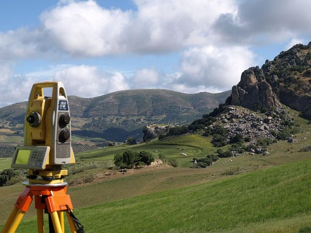
Topography is the science responsible for measuring, describing, and representing a portion of the Earth’s surface through maps or plans. To achieve this, different surveying techniques and specialized equipment are used to determine positions, distances, elevations, and coordinates of points on the terrain.
In simple terms, topography converts the physical reality of a terrain into graphical and numerical information that engineers, architects, and planners can use to design and develop projects.
What Is Topography in Engineering?
In engineering, topography provides the base information required for designing civil works. Before building a road, a structure, or any infrastructure project, it is necessary to understand the exact characteristics of the terrain.
Topographic studies help identify:
- Terrain relief and slope
- Reference point locations
- Elevations and level differences
- Natural elements such as rivers or vegetation
- Existing structures
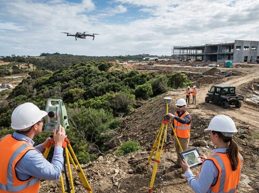
This information is collected through processes such as a topographic survey, which involves measuring different points on the terrain to generate accurate maps and digital models.
Brief History of Topography
Topography is one of the oldest technical disciplines in human history. Its origins date back to ancient civilizations such as the Egyptians and Romans, who used land measurement techniques to construct irrigation systems, temples, and infrastructure.
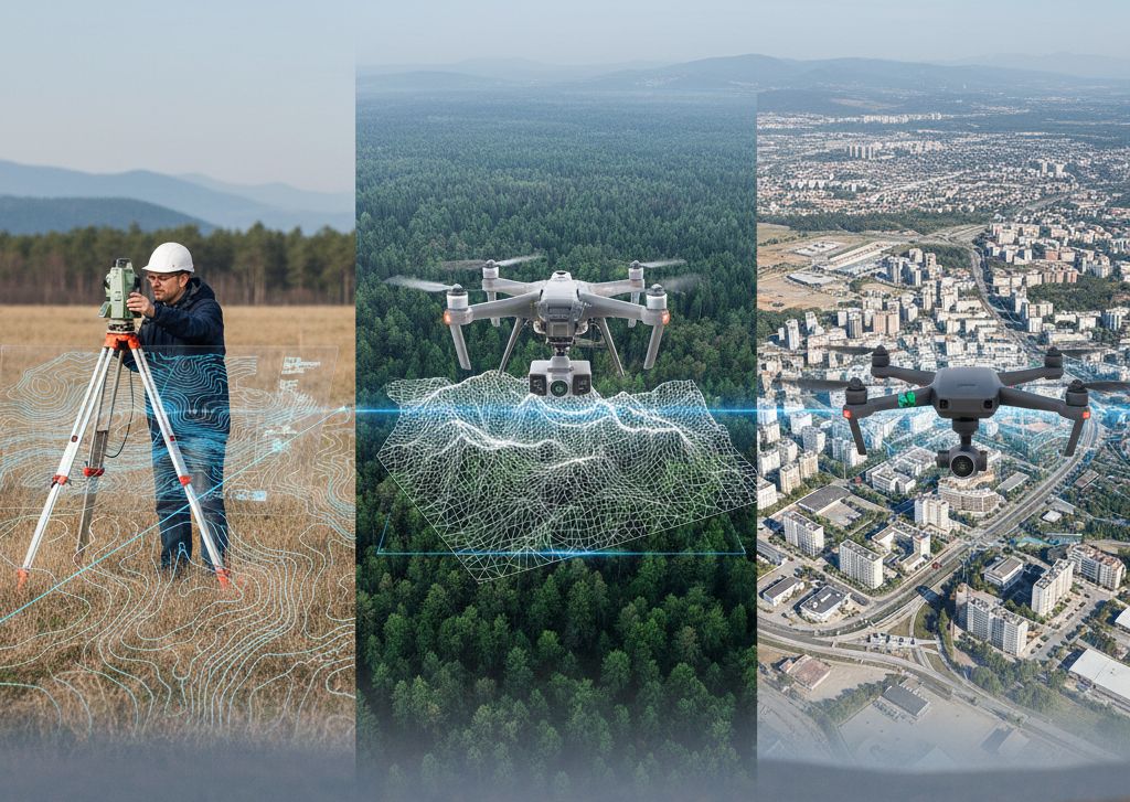
Over time, topographic tools evolved from manual measurement methods to advanced instruments such as total stations, geodetic GPS, drones, and 3D laser scanners. Today, these technologies allow professionals to obtain extremely precise terrain data and generate detailed three-dimensional models.
What Is Topography Used For?
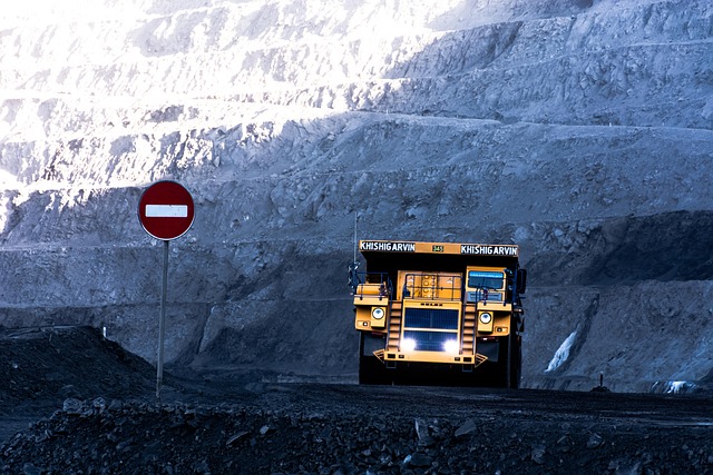
Topography has many applications across various industries, but its most significant role lies in engineering and construction projects. Without topographic studies, it would be extremely difficult to properly plan and execute construction works.
Construction Project Planning
Before any construction project begins, it is essential to understand the characteristics of the terrain where the project will take place. Topography helps analyze land shape, slopes, and ground conditions to determine project feasibility.
Infrastructure Design
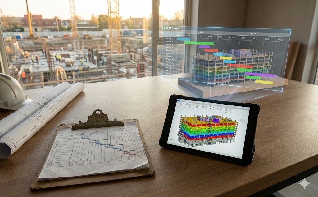
Topographic maps and plans serve as the foundation for designing roads, buildings, bridges, dams, drainage systems, and transportation infrastructure. These data allow engineers to calculate levels, slopes, and alignments accurately.
Construction Layout and Control
During the construction phase, topography is used to transfer the design from plans to the real-world terrain. This process, known as construction layout or staking, ensures that the project is built in the correct location and according to the design specifications.
Examples of Topography in Real Projects
Topography plays a key role in many engineering and urban development projects. Some common examples include:
Road Construction
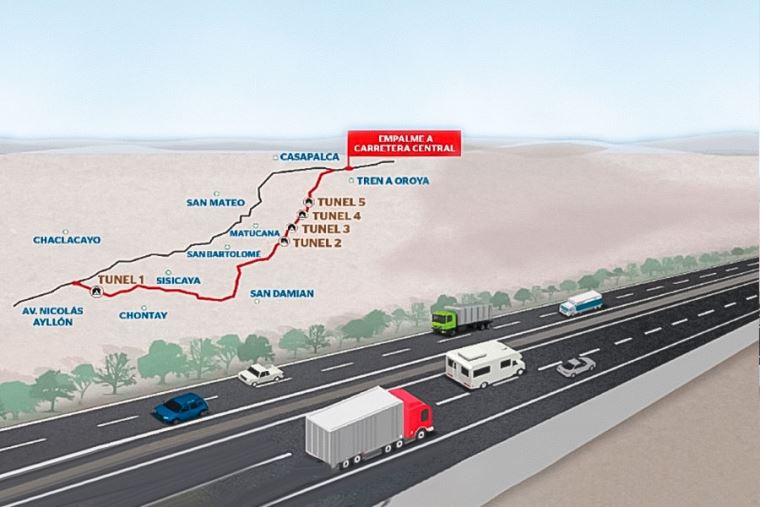
When designing roads, engineers must analyze terrain relief, identify slopes, and determine the optimal route to ensure safety and efficient transportation.
Urban Development
Urban planning projects rely on topographic studies to define street layouts, land parcels, drainage systems, and utility networks.
Building Construction
In building projects, topography helps determine ground leveling, foundation placement, and the correct positioning of structures.
Hydraulic Infrastructure
Dams, canals, and drainage systems depend on accurate topographic data to manage water flow and prevent flooding issues.
Difference Between Topography and Geodesy
Although topography and geodesy are closely related disciplines, they focus on different scales and objectives.
Topography
Topography focuses on studying and representing relatively small portions of the Earth’s surface, such as land parcels, construction sites, or local terrain areas. In these cases, the curvature of the Earth is generally considered negligible.
Geodesy
Geodesy studies the shape and dimensions of the Earth on a much larger scale. It is used to establish global coordinate systems, perform continental measurements, and develop positioning systems such as GPS.
The Importance of Topography Today
Today, topography is an indispensable tool for modern engineering and infrastructure development. Thanks to technologies such as drones, laser scanning, and GPS systems, it is now possible to obtain highly accurate terrain information quickly and efficiently.
Having access to a professional topography service helps reduce risks, optimize project design, and ensure that construction works are executed correctly from the earliest stages.
If you need professional topographic studies for your project, you can explore the specialized services offered by Acero Estudio, where advanced technical solutions are available for terrain analysis and surveying.