The answer to this question is YES.
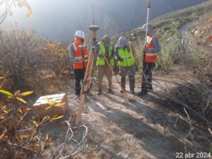
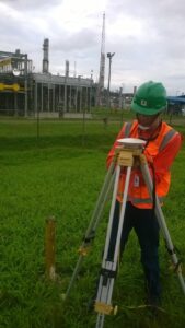
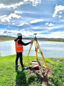
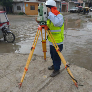
A topographic survey is an essential study for the construction of any building, regardless of its size or location. This study provides architects and engineers with an accurate and detailed view of the area. Through a topographic survey, it is possible to plan actions related to the project, such as earthworks and foundation design. Additionally, a topographic survey can influence the design and construction of the structure. Even in areas that appear flat at first glance, a topographic survey is crucial to ensure that the building’s foundations are correctly placed, preventing future structural issues.
Why Should I Conduct a Topographic Survey in an Apparently Flat Area?
A terrain that seems flat to the naked eye may conceal various irregularities, such as slopes, changes in soil type, or even the presence of underground water bodies. A professional topographic survey helps identify these and other factors, ensuring that the building’s design adapts perfectly to the natural characteristics of the land. Moreover, it ensures proper drainage and soil stability, minimizing the risks of settlements or landslides that could compromise the building’s integrity.
Risks of Constructing a Building Without a Topographic Survey
Building without an adequate topographic survey can lead to a series of serious problems, including:
- Unevenly settled foundations
- Inadequate drainage leading to soil erosion issues
- Errors in the alignment of the building
- Additional costs due to unforeseen construction errors
- Environmental impact
What Type of Topography is Recommended for Building Construction?
For the construction of a building, several types of topographic studies are recommended, such as:
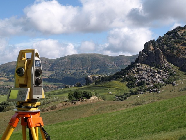
- Topographic survey with planimetry and altimetry
- Geodetic survey
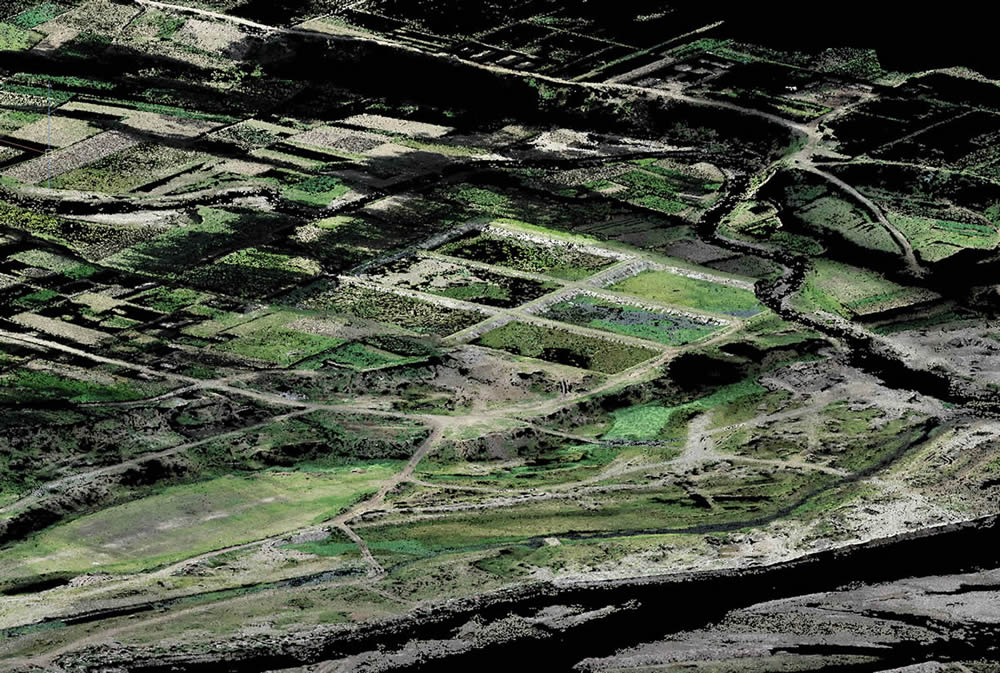
- Survey with LIDAR or photogrammetry
- Soil study
In summary, a topographic survey is a 100% necessary study for any type of construction. It is also advisable to conduct progressive topographic surveys as the construction progresses to avoid errors.
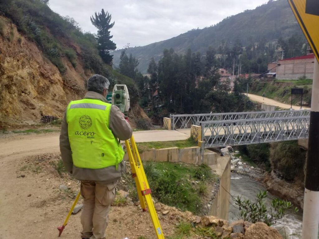
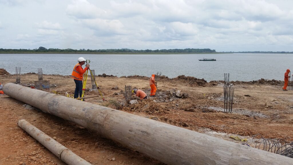
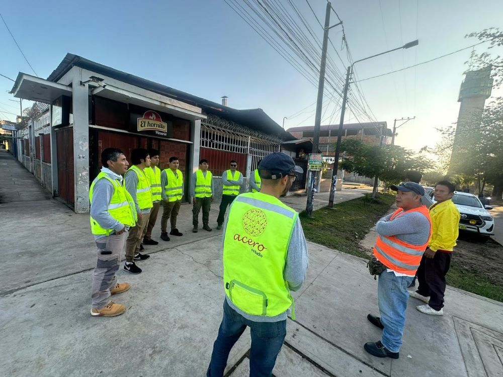
If you need to contact a topography company, we invite you to reach out to Acero Estudio. We have 25 years of specialization in topographic services and surveys in Peru and Spain. We use cutting-edge technology and techniques, including our topography services with drones and drone photogrammetry.
Contact us today – we’re here to help!