Factors Influencing the Price of a Topographic Survey

factors-influencing-the-price-of-a-topographic-survey

If you’re looking for a company that provides professional topography services, you’ve come to the right place. At Acero Estudio, we offer professional topography services, and one of the questions we commonly receive is related to pricing. How much does a topographic survey cost, and what factors determine the price?

The answer to this question is that the price can vary considerably depending on several key factors that need to be considered. These factors may include the area to be surveyed, the complexity of the terrain, and the level of detail required by the client.

Area Size

The size of the area to be surveyed is one of the main determinants of the cost of a topographic survey. The larger the area, the more time and resources will be needed to complete the work, which can significantly influence the final price.

It’s also important to consider the complexity, which plays a crucial role in determining the price. There are areas with complicated topographic features, such as steep slopes, dense vegetation, or the presence of bodies of water, which may require special surveying techniques and greater effort from the surveying team, inevitably affecting the project’s cost.

Finally, a high level of detail can also influence the price. Some projects may require a high degree of detail in their topographic map, which requires a greater number of control points, implying more meticulous work from our team and therefore incurring higher costs.

Characteristics to consider when hiring a topographic services company

characteristics-to-consider-when-hiring-a-topographic-services-company

Do you have land ready for construction and need a company specialized in topographic services? Here we provide you with a list of requirements to consider when hiring the specialized provider. Remember that Acero Estudio meets all these requirements, so you can contact us if you need the advice of a company with extensive experience and presence in Europe and America.

Here are the five most important characteristics your topography provider should have:

  1. Proven experience:
    Experience is fundamental in the field of topography. A company with experienced professionals will have the knowledge, resources, and tools to address diverse challenges and offer effective solutions. Experience also entails understanding the most advanced technologies and industry best practices.
  2. Qualified professionals:
    The team of professionals is vital in any project; professionals are the indispensable human capital for developing ideas and turning data into information, so they must be highly qualified and well-trained in the use of topographic equipment and specialized software. The quality of professionals ensures the accuracy and reliability of the collected data, as well as the ability to interpret it correctly to inform decision-making.
  3. Cutting-edge technology:
    Science and technology advance rapidly, so a serious topography company is one that keeps up to date with the latest technologies in instrumentation and topographic software. This includes precise measuring equipment, drones, laser scanners, high-precision global positioning systems (GPS), and 3D modeling software. The use of cutting-edge technology allows for precise and detailed topographic surveys in less time, thus improving efficiency and costs for clients.
  4. Focus on quality and accuracy:
    Accuracy is the reflection of the quality of a topographic study; professionals and technology are important, but only to the extent that they contribute to the precision of the data, which will then be the cornerstone for the construction of a project and decision-making in its favor.
  5. Client communication:
    Each topographic project presents its own unique challenges, and each may have particular characteristics that the surveyor must understand before proceeding with their discipline. For these reasons, the team of the supplying company must have excellent communication strengthened by procedures and protocols that reduce margins of error.

It is worth noting that in addition to having all these characteristics, Acero Estudio also has the ability to adapt to tight deadlines, work in difficult environments, and offer customized solutions to meet the individual demands of each project. Contact us today, and we will start developing your topography projects at the time and place you decide; we are at your service.

What does an Acero Estudio topographic report contain?

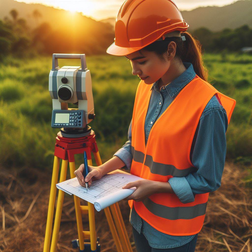
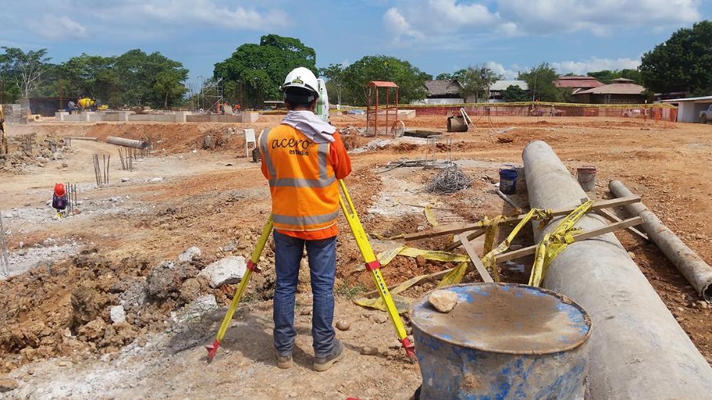
ingeniera realizando un levantamiento topográfico

The topographic report that Acero Estudio delivers to its clients is a very important tool in the development of construction and engineering projects for an area or territory. This document provides a detailed description of the terrain studied, allowing engineers and architects to make informed decisions during the design and execution of any projects.

Our surveying service reports (as contracted) may contain the following information:

1. Physical description of the land

This is the foundation of all topographical reports. This section includes details about the morphology of the terrain, such as the presence of hills, valleys, plains or any other relevant feature. In addition, specific features of the relief can be described, such as the presence of peaks, natural terraces or depressions.

2. Contour lines that describe the slopes and their degree of steepness

The topographic map included in the report allows us to view the topography of the land in three dimensions. These lines connect points of equal elevation and show the slope of the terrain. The information provided by the contour lines is crucial to understand the slopes of the terrain and plan the location of the structures that are planned for construction.

3. Water displacement zones

It is critical for planning drainage and stormwater channeling systems. Having the topographic map allows us to identify the areas where water accumulates or moves and develop effective solutions to prevent flooding and guarantee adequate fluid management.

4. Types of soils and their geological characteristics, as well as construction recommendations for the area

Knowing the geological characteristics of the soil is important to determine the stability of the land and prevent problems during construction. The topographic report can include detailed information on the composition of the soil, its bearing capacity, permeability and other relevant aspects. Additionally, specific construction recommendations can be provided for each soil type, such as proper foundation techniques and measures to prevent erosion.

5. Presence of bodies of water

Very important for both urban planning and environmental conservation. The topographic report can indicate the presence of rivers, lakes, ponds or other bodies of water, as well as their location, size and hydrological characteristics.

6. Construction risks and mitigation methods

This point focuses on identifying and evaluating the possible risks associated with construction in the studied area. This may include geotechnical risks, such as landslides or subsidence, as well as environmental or safety risks. The topographic report may also include recommendations or mitigation measures.

As you can see, a topographic survey carried out by Acero Estudio provides a wide range of detailed information on the terrain, essential for the successful execution of your projects. Contact us today, we are at your service.

Our BIM consulting service and security in your construction projects

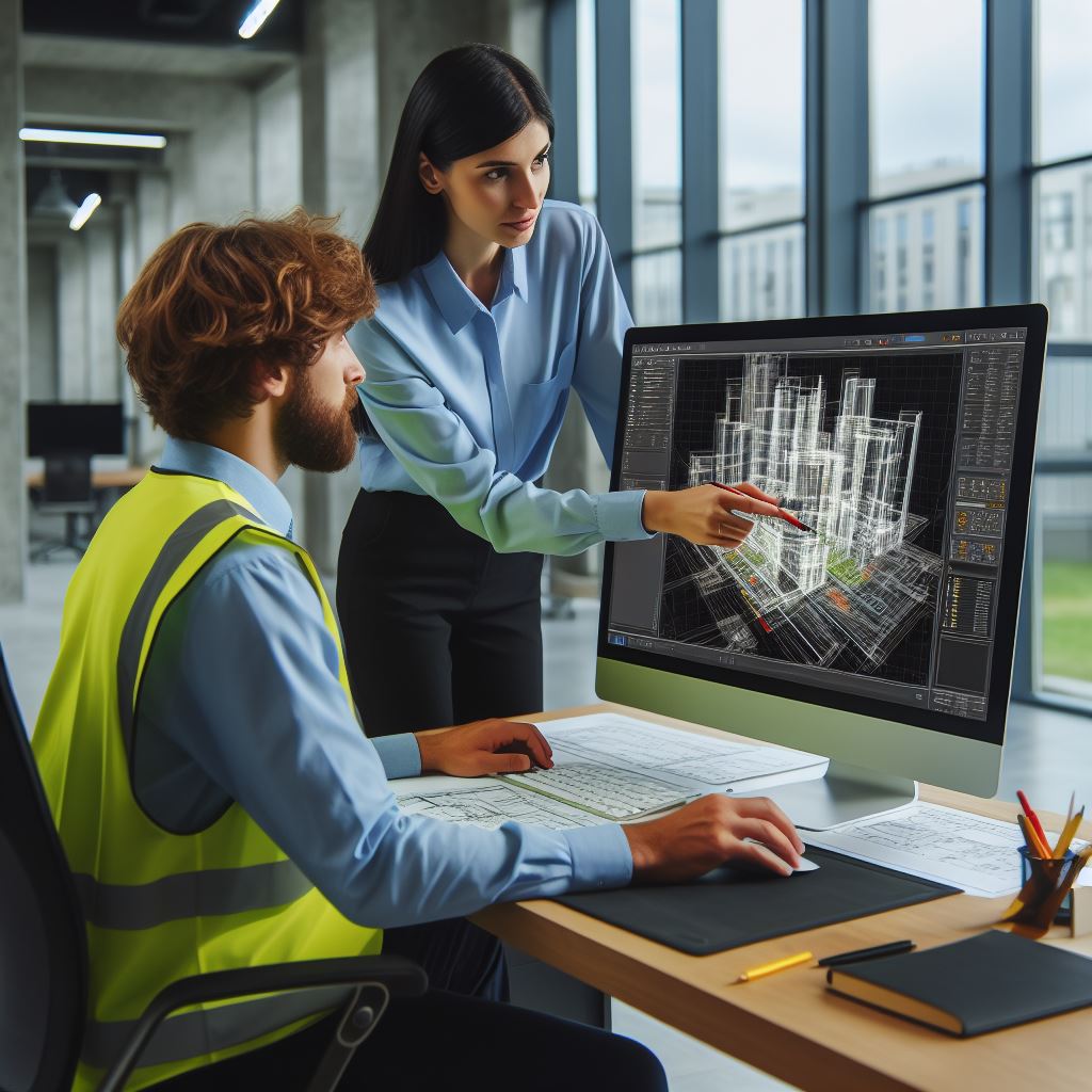
modelo bim de un hospital

Learn how Acero Estudio‘s BIM Consulting services improve the safety culture in all stages of the construction process.

With our BIM services, construction teams can create detailed digital models that include information on the location of equipment, materials, potential risks and safety procedures. This information allows project managers to identify and address potential risks before they occur, minimizing the likelihood of accidents in the workplace.

Effective communication is vital to ensure safety on construction projects. Our BIM services facilitate communication between all team members, from designers and engineers to workers on site. By using a centralized digital model, everyone involved can access the same updated information in real time, reducing the possibility of misunderstandings and miscommunications that could jeopardize security.

It is important to take into consideration that the BIM methodology allows you to simulate different scenarios and evaluate potential risks before they occur. By creating 3D digital models, we can identify potential safety issues and test different solutions before implementing them on the construction site. This not only helps prevent accidents, but also allows construction crews to prepare for emergencies and respond effectively should they occur.

In addition to improving workplace safety, our BIM services can also help construction companies comply with safety standards and regulations set by local and national authorities. By using accurate and up-to-date digital models, companies can demonstrate compliance with security requirements and avoid potential penalties and fines for non-compliance.

By investing in our BIM services, companies can improve the safety, efficiency and profitability of their construction projects, allowing them to stand out in an increasingly competitive market and ensure the long-term success of their operations.

Take into consideration that our BIM consulting services are not only a powerful tool to improve the efficiency and quality of construction projects, but also play a fundamental role in promoting a culture of safety in the sector. Contact us and request more information about our consulting services for companies.

Is it possible to use 3D Laser Scanning in infrastructure monitoring?

es posible utilizar el escaneo laser 3d en el monitoreo de infraestructuras

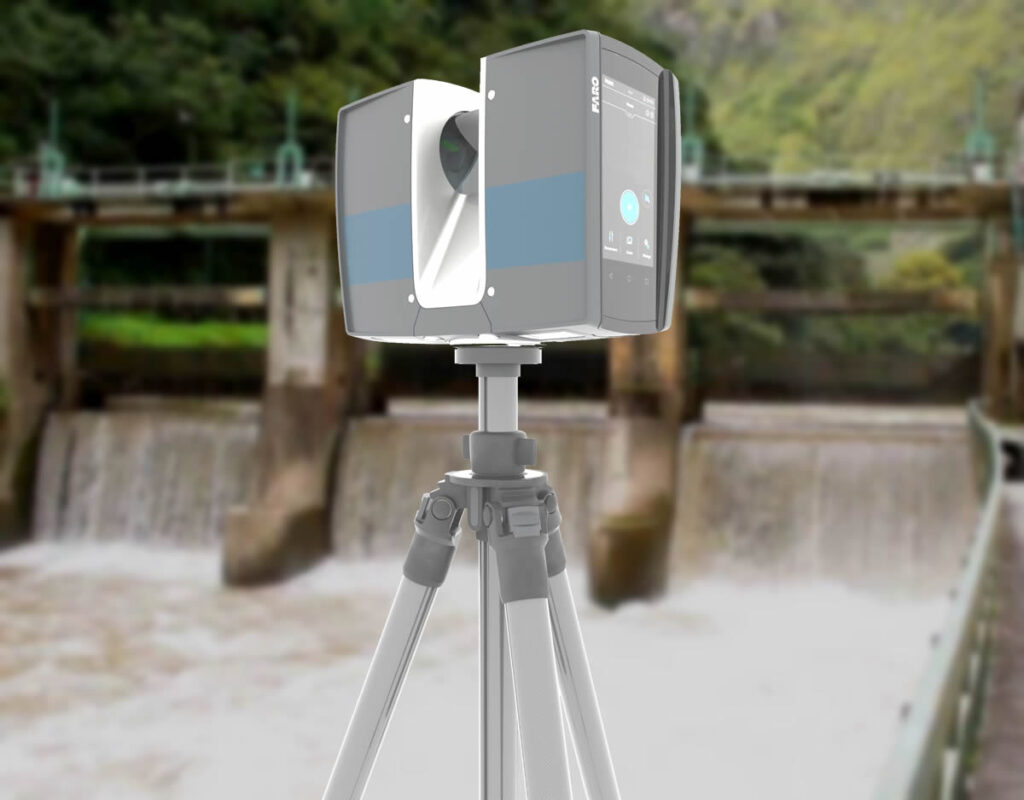
3D laser scanning makes it possible to collect accurate and detailed data on the condition of buildings, bridges, roads, dams and other important structures. It is normally used to generate three-dimensional models of these constructions; But another of its utilities and applications is to accurately evaluate the state of infrastructure, which allows engineers and project managers to make informed decisions on aspects of maintenance, repairs and improvements.

3D laser scanning in infrastructure monitoring

This feature is due to the ability of 3D laser scanning to obtain millions of data points that represent the surface of a structure with millimeter precision. With this precise information, engineers will have a detailed and accurate picture of the condition of the infrastructure, allowing them to identify even the smallest changes in geometry and structural integrity.

This level of precision in the capture and compilation of information will allow the engineers in charge of maintaining the structures to carry out precise monitoring of critical areas and components, for example in bridges, hydroelectric plants and other works of great importance.

Lower risks for workers

One of the importance of this type of measurements and monitoring with the 3D laser scanner is that it reduces the risks for workers who often must enter complicated areas of the structures to carry out measurements.

Another significant advantage of 3D laser scanning is its ability to detect changes in the condition of an infrastructure over time. By performing periodic scans of a structure, engineers can compare data to identify any deformation, deterioration or movement that may anticipate potential problems. This allows early detection and the performance of preventive or corrective maintenance that avoids costly interventions in the infrastructure.

As we see, the 3D laser scanner is an important and powerful tool for monitoring infrastructure and also construction projects. Contact Acero Estudio, a company specialized in performing 3D laser scans; we are at your service.

LIDAR Technology in natural disaster management

servicio de cartografia lidar

LIDAR (Light Detection and Ranging) technology has become democratized since the introduction of drones and their greater accessibility. This technology that uses laser pulses is highly reliable when it comes to capturing information about the environment. It has also been widely used in the management of natural disasters to apply mitigation measures in cases of earthquakes, floods, landslides and hurricanes.

One of the main applications of LIDAR is the assessment of geological risks. The models generated by LIDAR have high precision and help identify areas prone to landslides, land subsidence or geological faults that are not noticeable to the naked eye. These measurements allow authorities to take preventive measures to protect nearby cities or communities.

LIDAR technology is also used for flood monitoring. This is important in places where seasonal flooding occurs because due to climate change many flood-prone areas can overflow, generating major problems even with significant risks to the lives of the inhabitants of the affected areas. LIDAR scanning helps us facilitate emergency response actions and recovery planning.

Regarding earthquakes, LIDAR is used to evaluate structural damage and ground deformation caused by the telluric event. It also helps us determine if geological areas that represent risks to nearby populations have been affected.

It is worth noting that the accuracy of LIDAR sensors is effective even in areas of extensive vegetation, so the importance of this technology plays a vital role that governments and mitigation and prevention policy makers should take into account.

Contact Acero Estudio and request information about our LIDAR services, we are here to help you develop the potential of your projects.

The role of topography to achieve sustainable urbanism

ingeniero de acero estudio realizando un estudio topografico

Sustainable urbanism consists of achieving healthy and organized urban growth along with conservation of environmental quality. In this article we will learn how topography plays a fundamental role in providing crucial information for the design and planning of urban environments that are socially, economically and ecologically sustainable.

Let’s learn about the ways in which surveying services contribute to sustainable urbanism:

By identifying natural risk areas

When mapping the topography of a city it is possible to detect areas prone to adverse natural phenomena such as floods, landslides or soil erosion. This allows urban planners to make informed decisions about infrastructure development and housing placement to minimize impact.

Availability of natural resources

In addition to its usefulness in evaluating natural risks, topography provides valuable information about the availability of natural resources and the capacity of the land to support urban development. By knowing the topographic characteristics of a city, it is possible to identify areas with potential for the installation of solar, wind farms or water collection systems. All of this contributes to reducing dependence on fossil fuels, making human settlement and its resource management more sustainable.

Location of recreation areas

Thanks to the development of topography techniques, urban planners can collect important information that helps them locate the best areas for the development of urban infrastructure such as parks, sustainable mobility routes that allow reducing vehicle congestion and greenhouse gas emissions. greenhouse.

It is worth noting that in many of these cases, not only topography is important, but also the combination of this discipline with other areas of study such as architecture and urban planning so that synergies are generated and help in the creation of more sustainable, inclusive and resilient communities. .

Remember that by integrating topographic considerations into the urban planning process, cities can become healthier and more resistant to climate change. Contact Acero Estudio, a leading company in topographic surveys in Peru and Spain; we are at your service.

Improving sustainability, the 3D laser scanner, in construction projects

cloud of dots generated by 3d laser scanner

One of the global concerns in all sectors is to look for new ways to reduce the environmental footprints of each company’s activities and improve the efficiency of its projects. In this regard, our 3D laser scanning services offer an innovative solution to promote sustainability at all stages of construction.

1. Waste Reduction

The first benefit offered by Acero Estudio’s 3D laser scanning service is the reduction in material waste. By creating accurate digital models of construction sites and existing structures, we minimize manual measurements and errors that lead to purchasing or overproducing materials. This feature not only reduces costs associated with waste but also conserves natural resources and, in the process, generates greater efficiency for the company.

2. We Generate Energy Efficiency

By creating detailed digital models of existing buildings and facilities it is possible to identify opportunities to improve energy efficiency. A better design can lead to better use of air conditioning flows, the best arrangement of elements to avoid heating or reduce heat loss depending on what each project requires. Additionally, our 3D generated models can be combined with BIM to make projections regarding the best use.

3. Facilitates Sustainable Urban Planning

Urban planners and urban planners make use of precise digital models that will help them create more sustainable cities and resilient to climate change. This could involve identifying green areas for conservation, planning efficient public transport routes and creating urban spaces that encourage social interaction and quality of life for residents.

Based on these points, we can determine that integrating innovative technologies such as 3D laser scanning improves efficiency, reduces environmental impact and guarantees long-term viability in your construction projects.

Contact us today and learn more about our 3D laser scanning services. We are at your service.

BIM Consulting and the digital transformation of construction companies

bim consulting services and digital transformation

In the construction industry, companies face various challenges, including adapting to new technologies to remain competitive. Our BIM consulting service is presented as a fundamental tool to promote digital transformation in the construction sector.

Acero Estudio, through its BIM consulting service, based on the BIM (Building Information Modeling) methodology, offers construction companies the opportunity to optimize their design, construction and project management processes through implementation and training in the use of intelligent digital models. The result is complete and detailed models that contain detailed information about every aspect of a project, from geometry and structure to materials, costs, maintenance projections, strength calculations, etc.

All this wide range of information is established with the aim of achieving more accurate planning and informed decision making.

As is known, one of the main advantages of the BIM methodology is its collaborative nature, but achieving it is not easy, especially because there is a lot of aversion to change due to fear, lack of knowledge or trust in inherited methods. Acero Estudio and its BIM consultants have the knowledge, the experience and that extra pedagogy that helps us to transmit the right ideas to your team in such a way that they can feed and help to gradually and efficiently build the centralized digital model where everyone actors access it in real time with minimal errors and risks in the construction process.

Helps in efficiency and meeting deadlines

Companies worry about their efficiency and the construction sector is no exception. In this aspect, it is worth noting that the BIM methodology speeds up the coordination processes between areas, improves communication, making it unequivocal in the face of a model that has the precise data and with this it is possible not only to have a nice digital picture of the work but also a great efficiency in each of the processes, planning, purchasing logistics, avoiding unnecessary expenses and delays.

It is worth noting that not all construction companies still use the BIM methodology, therefore encouraging this type of development within your company will not only help improve the efficiency of your processes but will also help you differentiate yourself from the competition, attracting more clients. large and serious companies looking for best practices.

Contact Acero Estudio today and let’s talk about how the BIM methodology can help you improve your processes. We are at your service.

Precision surveying for communications projects

estudios-topograficos-para-telecomunicaciones

One of the most important uses of Acero Estudio’s topography services consists of the support and generation of topographic studies for the telecommunications industry. In this sense, it is worth noting that the strategic and correct location of the antennas is crucial to guarantee effective coverage.

Thanks to the topographic surveys provided by Acero Estudio, you can know not only the topography of the terrain, but also various obstacles that can interfere with the signals and that are not visible to the naked eye. With this precise information, we enable telecommunications engineers to choose optimal locations for installing communications infrastructure.

Precision topography allows us to offer a highly accurate service by recording topographic, geodetic and geometric details. In communications projects, such as the installation of telecommunications towers, antennas, fiber optic cables or mobile network deployment, this advanced type of precision surveying is essential for these reasons:

Allows us to identify potential obstacles to transmission signals
It allows us to provide essential information for planning underground or overhead cables efficiently and safely.
It provides us with adequate information to minimize the environmental impacts of infrastructure and achieve the requested regulatory compliance.

To achieve this topography we use various technologies such as:

  • Total stations that are advanced instruments for detailed topographic surveys
  • High precision GPS
  • Terrestrial laser scanner
  • Topographic drones

Contact Acero Estudio, a company specialized in Topography in Europe and Latin America, do not leave connectivity projects to chance; trust the best.