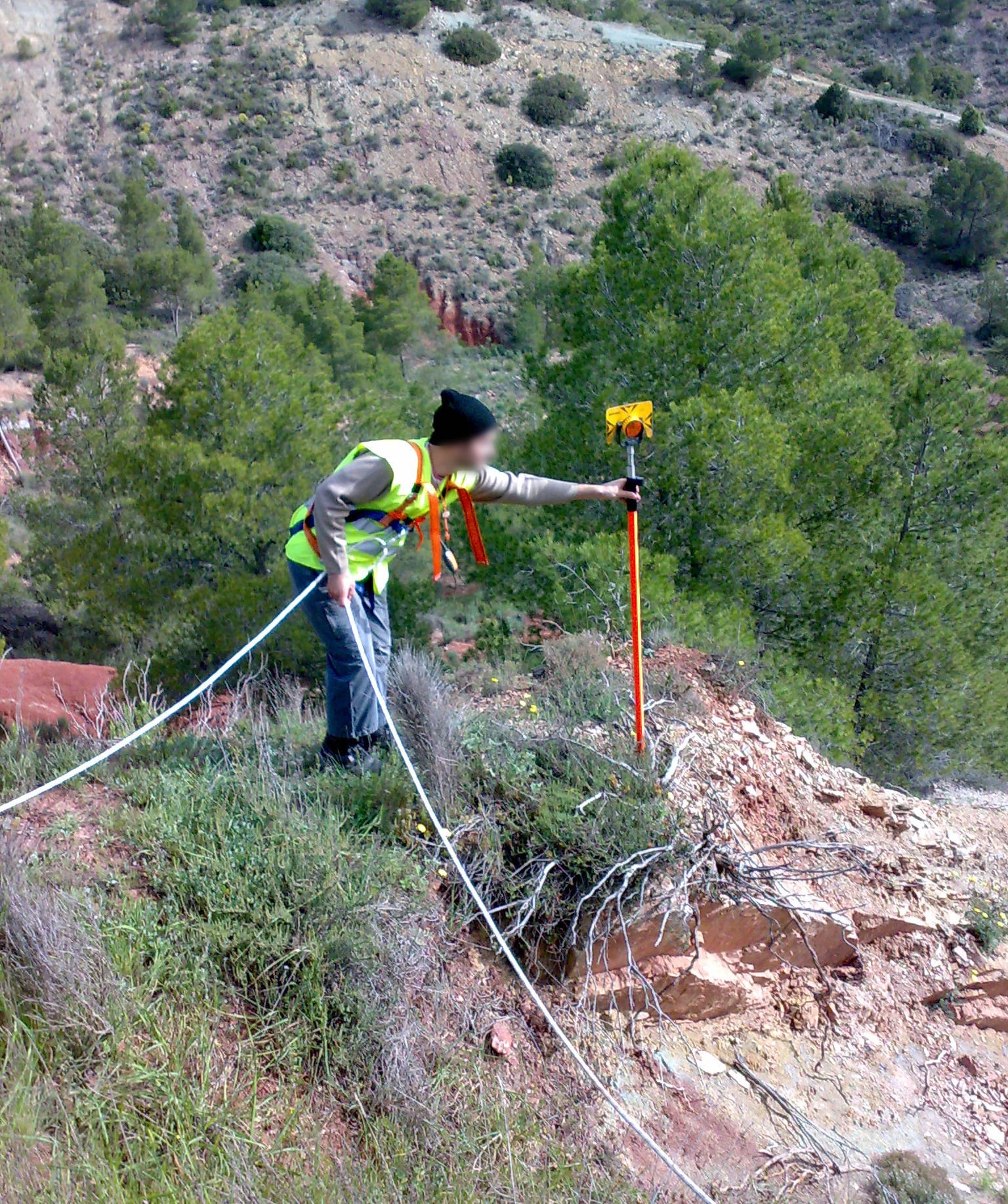
Is it possible to carry out surveying with drones?

is it possible to carry out surveying with drones

In recent years, drone surveying has gained prominence among surveying services due to its efficiency and accuracy. Various prestigious brands offer drones, equipped with specialized sensors and mapping technology, these tools facilitate the collection of detailed topographic data as well as data that can later be compared with already prepared plans or used to carry out other types of studies. This approach has proven valuable in topographic surveying, providing crucial information on elevations, slopes, and geographic features.

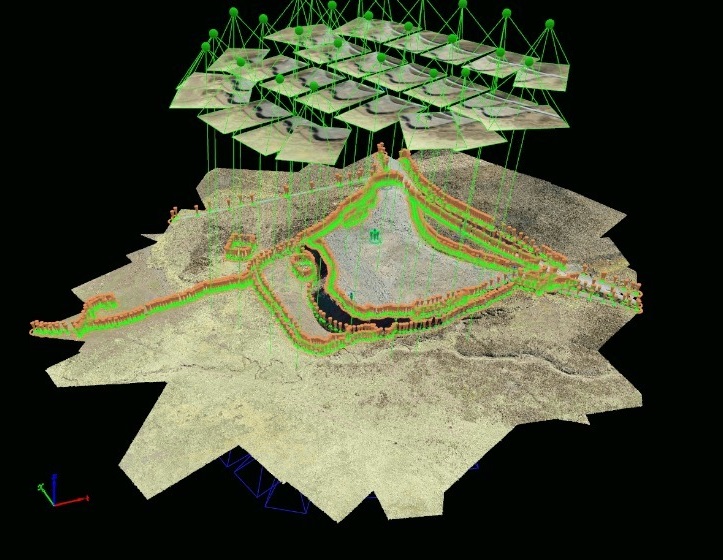
In addition to topographic surveying, drones are capable of generating three-dimensional models of the terrain. This 3D modeling capability not only makes it easier to visualize topography, but also improves analysis and understanding of the geographic environment.

Another notable application is surface change control. By carrying out periodic flights, drones make it possible to monitor alterations in the terrain over time, such as erosion, construction or any relevant modification.

In the field of project planning and design, topographic data obtained from drones is essential. Detailed information streamlines the decision-making process and contributes to efficiency in construction, engineering and agricultural projects.

Additionally, precision agriculture benefits greatly from drone surveying. These devices can perform elevation maps and analyze crop health, providing valuable data to optimize agricultural practices.

The most commonly used sensors in surveying drones include RGB cameras, multispectral cameras, LIDAR (Light Detection and Ranging) and ultrasound sensors.

Drone surveying offers significant advantages, such as reduced time and costs compared to traditional surveying methods. Additionally, the ability to obtain real-time data and flexibility in flight planning make this technology increasingly popular in various fields.

Contact us and request more information about our drone topography and aerial photogrammetry services, we are at your service.

Topography in the Wind Generation Industry

topografia para centrales de generacion-electrica

The growing concern for clean electricity generation sources means that wind energy generation continues to experience significant growth. For these reasons, the construction and installation of wind energy projects are works of great importance both for the investments they represent as well as for the benefits they bring to the cities they supply.

Obviously when it comes to wind, wind power plants must be installed in places where there is a deep understanding of the terrain. In this context, topography, together with advanced technologies such as aerial photogrammetry, BIM and 3D laser scanning, play a fundamental role in optimizing the installation of wind farms.

Efficient Design Depends on Accurate Data

Topography provides us with detailed information about the shape of the land, elevations, slopes and geological characteristics. Integrating this information with techniques such as photogrammetry allows for the creation of accurate three-dimensional models of the site, facilitating the design of efficient wind farms. The combination of topographic data and 3D models ensures a complete understanding of the environment, resulting in an optimized design of the turbine layout and its height to maximize wind capture.

Identification of Obstacles and Risks

3D laser scanning has become an essential tool for identifying potential obstacles in the terrain, such as buildings, vegetation and geological structures. This level of detail not only helps avoid problems during the construction phase, but also minimizes operational risks throughout the life of the wind farm. Anticipating and mitigating potential challenges contributes to the long-term safety and profitability of the project.

Project Planning and Management

The implementation of BIM in wind energy projects allows for comprehensive and efficient information management. From the design phase to construction and operation, BIM facilitates collaboration between different disciplines, improving coordination and reducing errors. Topography, when integrated into BIM models, offers a holistic vision of the project, improving decision making and optimizing resources.

Likewise, with the integration of 3D laser scanning and BIM (ask about our BIM consulting service) we can integrate simulations into the generated model that help us anticipate potential risks that affect the performance of the wind farm, such as the construction of surrounding buildings, etc.

In summary Acero Estudio‘s specialized focus on geography, architecture and construction analysis technologies allows your company to benefit from the integration of advanced technologies that will reduce risks, improve the economics of the project and guarantee its sustainability.

Construction Monitoring: The importance of continuous topography

importancia de la topografia continua
  • Introduction
  • Continuous Surveying Case in Action
  • Benefits of Continuous Surveying in Permanent Constructions
  • Types of Construction that Require Continuous Topographic Monitoring
  • Conclusions: The Crucial Need for Continuous Surveying in Construction Sites

1. Introduction

Construction monitoring is an essential facet in the construction and development of projects and continuous surveying is a tool that often makes the difference between the success and failure of a construction or engineering project. This article will explore the importance of having surveying services on an ongoing basis throughout the entire project, examining its benefits and highlighting the types of construction that crucially require this service.

2. Practical Case of Continuous Surveying in Action

There are cases in which a large-scale construction project requires great topographical efforts continuously throughout the construction process; This process is called continuous surveying. If initial surveying provides the foundation, continuous surveying ensures that the infrastructure will remain stable and safe throughout the construction process.

Thanks to the advancement and technology of our work, we can provide sensors that will accurately constantly monitor soil deformations, guaranteeing structural integrity and providing adequate data to take corrective actions before a structural collapse occurs.

3. Benefits of Continuous Surveying

Continuous surveying goes beyond simple initial measurement. It provides constant monitoring of the work, detecting any unexpected changes, which provides higher levels of security and optimizes resources by preventing problems before they worsen.

4. Types of Construction that Require Continuous Topographic Monitoring

Not all constructions demand the same level of topographic monitoring. Those of a permanent nature, such as bridges, skyscrapers, tunnels, dams and critical infrastructure projects, benefit significantly from continuous topography. The long-term stability of these structures requires constant attention to ground conditions and possible changes. Topographical surveying is no longer enough.

5. The Crucial Need for Continuous Surveying in Construction Sites

Continuous topographic monitoring stands as a fundamental pillar in risk management and effective planning, ensuring that each construction is a lasting testament to human skill. Ultimately, continuous surveying is not only a safety measure, but a wise investment for the present and future of engineering and construction.

The importance of Topography in the Construction of Industrial Plants

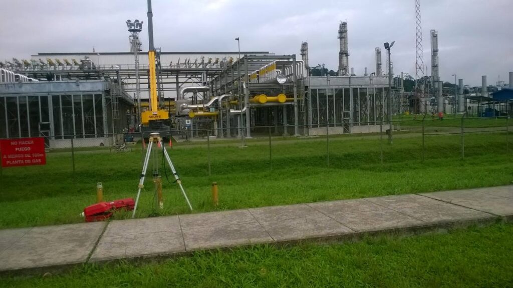
The design and construction of an industrial plant is a project of great magnitude and great importance for the companies that carry it out. Due to the risks involved, the size of the investment and the uses it will have; A work like this requires millimeter precision and careful planning to avoid serious errors or future risks for people and investment.

Reducing risks is where topography becomes an indispensable ally to detail every centimeter of the land. Knowledge of these characteristics will allow us to develop a construction adapted to its environment, safe with respect to potential natural disasters and also efficient in terms of taking advantage of the benefits of the area.

In this short article we will learn how when carrying out a topographic survey we not only provide efficiency but also reduce risks in the construction of industrial plants.

In industrial construction, risks range from ground instability to errors in the alignment of heavy machinery that can result in accidents or structural defects. Surveying identifies potential problems before they become real dangers. By revealing variations in terrain, potential flood zones, or subsurface inconsistencies, surveyors enable construction teams to proactively anticipate and mitigate these risks.

Before the first brick is placed, the topography will provide us with a faithful and exact representation of the terrain. Using advanced technologies such as 3D laser scanning and aerial drone photogrammetry (to create digital models), engineers and architects design with precise knowledge of site characteristics, resulting in more efficient use of resources. and an optimization of the plant design that translates into significant savings.

Modern surveying, with its precision, plays a vital role in cost estimation. By providing accurate data, you help avoid wastage of materials and human resources. The ability to accurately plan the required quantities of materials and labor required for each phase of the project prevents cost overruns and reduces the need for costly adjustments in the future.

Once construction begins, Acero Estudio’s topography services play a vital role allowing:

  • Constant comparison of current site conditions with design plans
  • Identifying and correcting ground deviations in real time
  • Keeping the project on its planned trajectory and within safety parameters

In addition to these important improvements, topography can help us:

  • Locate the best areas for the installation of tanks and cisterns
  • Maximize land use
  • Locate the most appropriate areas for merchandise maintenance
  • Locate the most optimal areas for logistics areas

The success of the construction of an industrial plant or warehouse is a very important factor that is achieved through various knowledge and professionals. The discipline of topography is one of these knowledge that, when integrated with construction capabilities, provides security and responsible risk management.

Ask more about our surveying services, we will be happy to assist you.

The Total Station in Surveying: An Essential Instrument for Accurate Measurements

total station

One of the most essential and versatile tools used in surveying services is the total station. In this article, we will explore in detail what a total station is and how it is used in surveying.

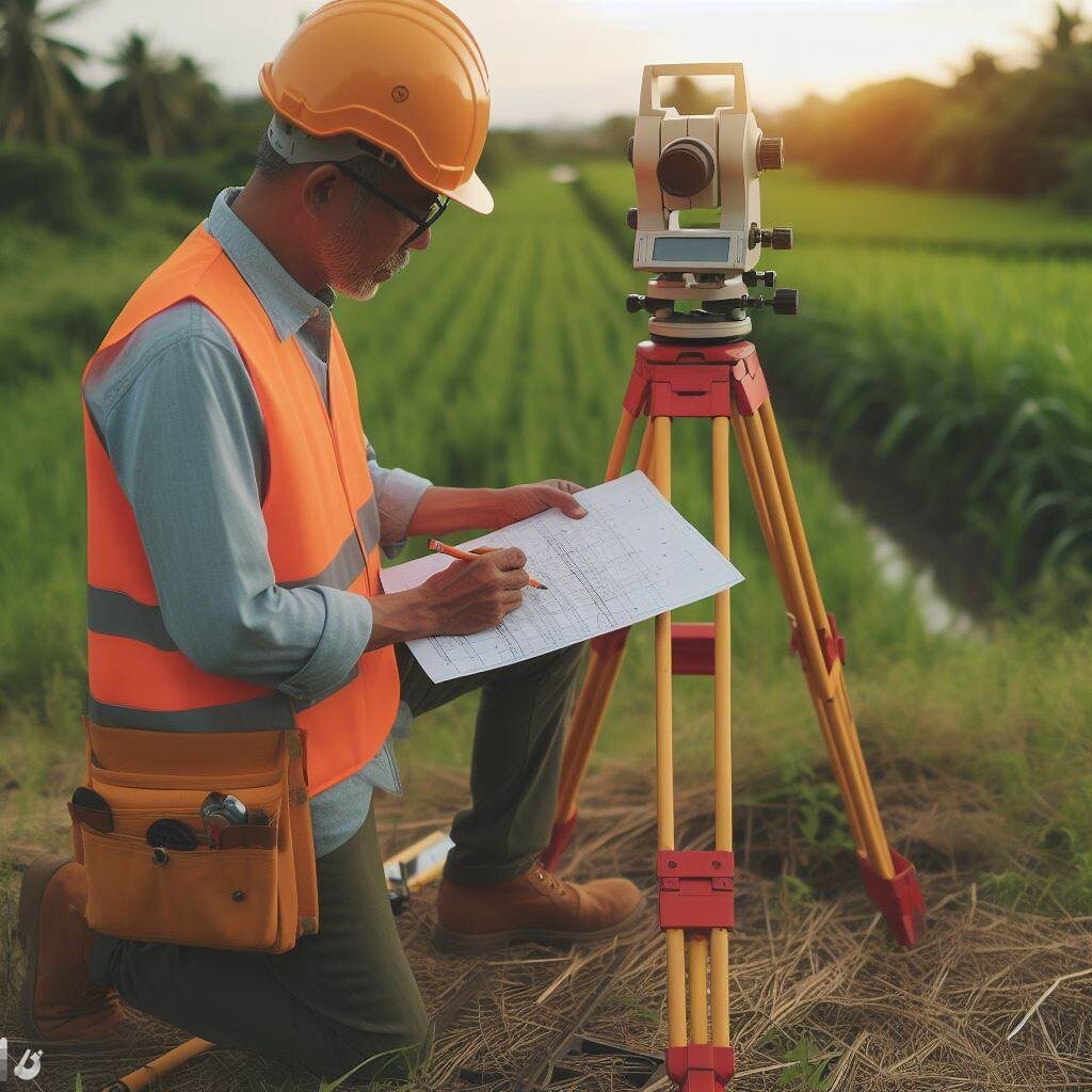
A total station is an advanced surveying instrument that combines several essential functions in a single device. Unlike traditional surveying instruments such as theodolite and scope, the total station is an all-in-one tool that allows surveyors to make accurate measurements of horizontal and vertical angles, as well as distances, heights and elevations. These measurements are made with remarkable precision, making it an indispensable tool in the field of modern surveying.

Components of a Total Station

Total stations consist of several key components:

  • Theodolite: The theodolite incorporated in a total station is responsible for measuring horizontal and vertical angles with great precision. It allows surveyors to point to specific points on the ground and determine directions and elevations accurately.
  • Distancemeter: Total stations are equipped with a distancemeter that uses laser or electronic technology to measure distances between the total station and the point of interest. This allows obtaining precise coordinates.
  • Spirit Level: A spirit level built into the total station ensures that the instrument is perfectly level, which is essential for accurate angle and elevation measurements.
    Screen or viewer: The total station generally has a screen or viewer where the collected data, such as angles, distances and coordinates, are displayed. Some modern total stations even have touch screens for a friendlier user interface.

Use of the Total Station in Topography

Total stations are used in a wide variety of surveying applications, including:

  • Topographic Surveys: To measure the elevation, distance and direction of points on the Earth’s surface, allowing the creation of detailed topographic maps.
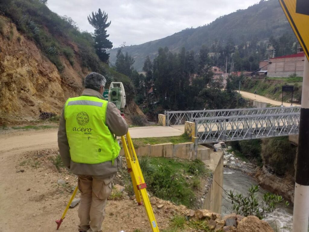
  • Construction project control: In the planning and execution of construction projects, such as buildings, roads and bridges, to ensure that structures are built according to specifications.
  • Property surveying and demarcation: To determine property boundaries and create accurate cadastral plans.
  • Monitoring of deformations and changes: In geodetic studies to measure the deformation of structures or the movement of the ground over time.
  • Geology and geophysics: In geological studies to determine the stratigraphy of the subsoil and in geophysical studies to investigate the properties of the terrain.

Advantages of Total Stations

Using a total station offers several advantages, such as:

  • Greater precision: Allows highly precise measurements of angles, distances and elevations.
  • Efficiency: Simplifies the measurement process by combining multiple functions in a single instrument.
  • Speed: Facilitates obtaining data quickly and efficiently.
  • Data Storage: Many modern total stations can store and transfer data electronically, simplifying further processing of the information.

The total station is an essential tool in the field of modern surveying. Its ability to make accurate measurements of angles, distances and elevations with efficiency and ease makes it an invaluable instrument in a variety of applications, from creating detailed topographic maps to planning and executing construction projects.

Its incorporation of cutting-edge technology has transformed the way surveying measurements are made and has significantly improved the accuracy of the results.

Topography and Drones, A Perfect Combination

retocada

In the current era, marked by technological advancements and a growing demand for efficiency across multiple sectors, the combination of surveying services and drones has emerged as a perfect alliance. This synergistic collaboration between surveying and drone technology has unlocked a wide range of applications and opportunities that are radically transforming the way we approach supervision, construction, and planning projects.

The use of drones in surveying is extremely versatile, and while their applications are varied, they particularly excel in construction and facility monitoring. At Acero Estudio, a company specialized in surveying, we have recognized the potential of this combination and have successfully implemented it in numerous projects.

A critical aspect in the preparation of any project, especially in the realm of large-scale public and civil works, is the meticulous study of the environment where the future action will take place. Precision and comprehensive understanding of terrain conditions are essential to ensure construction success and to avoid potential complications or delays in the process. This is where drones make their triumphant entrance, allowing for quick and precise detailed inspections and visual detection of potential obstacles.

The speed and efficiency of drones in this context are unparalleled. Before the era of drones, collecting topographic data involved lengthy manual procedures and costly ground operations. However, with the deployment of drones equipped with advanced sensors, surveying has become much more accessible and efficient. Drones can fly over extensive areas in a matter of minutes and provide detailed data ranging from terrain topography to the identification of key features such as buildings, roads, or vegetation.

One of the most notable benefits of using drones in surveying is their ability to capture high-quality images and videos. These images and recordings offer a precise visual representation of the current state of a work in progress, greatly facilitating the presentation and analysis of project execution progress. There is no longer a need to rely solely on abstract data or written reports; drones provide a comprehensive and detailed real-time view of the work.

This visual aspect is particularly useful for communication and collaboration in construction projects. Images and videos captured by drones can be easily shared with all stakeholders, from engineers and architects to clients and regulatory authorities. This transparency and clarity in data presentation can help avoid misunderstandings, clarify doubts, and streamline decision-making, thereby contributing to keeping the project within the established schedule and budget.

Furthermore, the use of drones in surveying extends beyond monitoring ongoing works. They are also employed in the initial planning stages of projects, allowing for a detailed assessment of terrain conditions before the first stone is laid. This is essential for identifying potential geographical or environmental challenges that may arise during construction. The ability to anticipate and address these challenges from the outset can prevent costly setbacks and design modifications later in the process.

Another significant advantage of drones in surveying is their ability to conduct periodic inspections and track project progress. Scheduled flight repetitions throughout the project allow for close monitoring of construction evolution and detection of any deviations from the original plan. This real-time tracking capability enables more effective resource management and a quick response to any issues that may arise during construction.

The integration of surveying and drones in the construction industry has proven to be a winning combination. The precision, efficiency, and ability to present detailed visual data offer invaluable value in the planning, monitoring, and execution of construction projects. In summary, the synergy between surveying and drones is paving the way for a more efficient and accurate future in the construction industry, benefiting all parties involved and ultimately the quality of the infrastructures we build.

Contact us to learn more about our surveying services as well as drone photogrammetry. We are at your service.


Topographic Survey – Topographic Services

levantamiento topografico en zona rural del peru

Topographic Surveying: An Essential Service for Construction and Project Planning

In the world of construction and architecture, precision is key. The infrastructure that is built must be safe, functional and aesthetically pleasing, but it all starts with a detailed understanding of the terrain on which it will be built. This is where land surveying comes into play, an essential surveying service that measures and represents the characteristics of a land surface. Without a doubt, this process is one of the fundamental pillars in project planning.

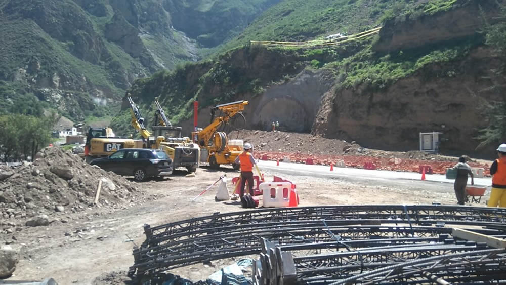
apoyo tecnico topografico de acero estudio en la construccion del tunel chacahuaro en lima
TECHNICAL SURVEYING SUPPORT of Acero Study in the Construction of the Chacahuaro Tunnel in the Department of Lima

Fundamental Pillars for Project Planning

Topographic surveying has become a highly specialized discipline that uses advanced techniques to obtain a detailed plan of the terrain. It is not limited to simply drawing a flat map; It goes much further by showing elevations and low areas with an impressive level of detail. In addition, it is capable of identifying and representing existing elements on the ground, such as trees, buildings or roads. This service is the first step towards creating a design that works in harmony with the natural environment.

For construction and architecture companies, surveying services such as land surveying are invaluable. By having precise knowledge of the terrain, architects and engineers can design structures that take advantage of the natural shape of the terrain’s slopes, taking advantage of its natural characteristics. This approach not only promotes the aesthetics and functionality of the design, but also generates significant savings by adapting to the existing topography instead of trying to modify it.

levantamiento topografico en piura peru

Surveying also plays a crucial role in geographic risk management. Nature can be unpredictable, but with the information provided by this service, it is possible to anticipate and manage a series of challenges. For example, flood zones can be detected, which is essential for planning construction projects near bodies of water or flood-prone areas. Likewise, areas of unstable land can be identified, allowing architects and engineers to plan construction processes that anticipate these challenges, thus avoiding costly corrections later in the project.

Furthermore, surveying not only benefits builders and architects, but is also essential in a variety of industries. For example, in the field of agriculture, this technique is used to plan irrigation and crop planting efficiently, taking advantage of the characteristics of the terrain to optimize production. In the energy field, it is used in the planning of wind and solar farms, ensuring that facilities are placed in optimal locations in terms of exposure to the sun and wind. Even in the realm of cartography and geology, topographic surveying is essential for creating accurate maps and understanding the geology of a region.

Surveying is much more than a simple measurement tool. It is an essential service that supports project planning, ensures the safety of structures and enables efficient management of geographic risks. From home construction to large-scale infrastructure projects, this discipline is an integral part of the construction industry and plays a critical role in creating a safe and functional built environment. Therefore, it is no exaggeration to say that land surveying is the foundation on which our world is built.

Other topographic services are:

  • Polygonal Topography
  • Geometric Leveling
  • Photogrammetry
  • LIDAR
  • 3D Laser Scanning

Contact Acero Estudio, a company specialized in topographic studies, we are at your service.
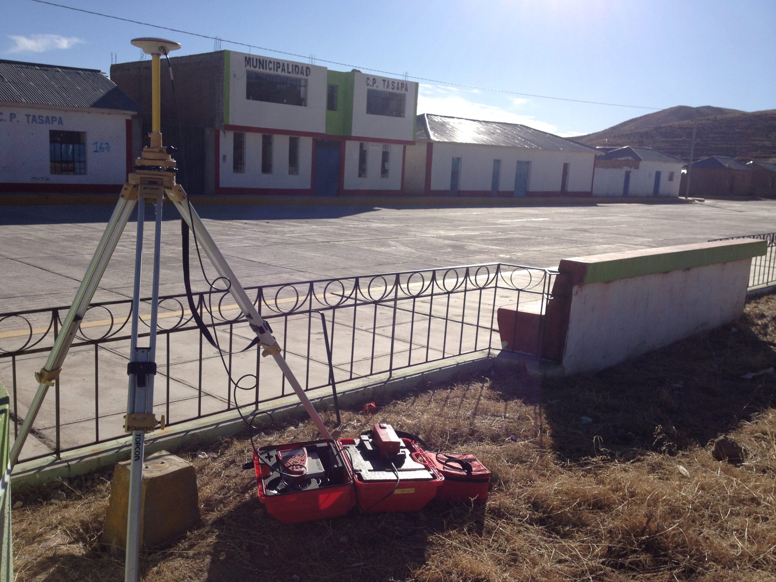
Topography Works in Huancavelica (Peru)

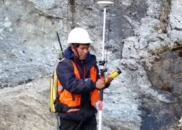
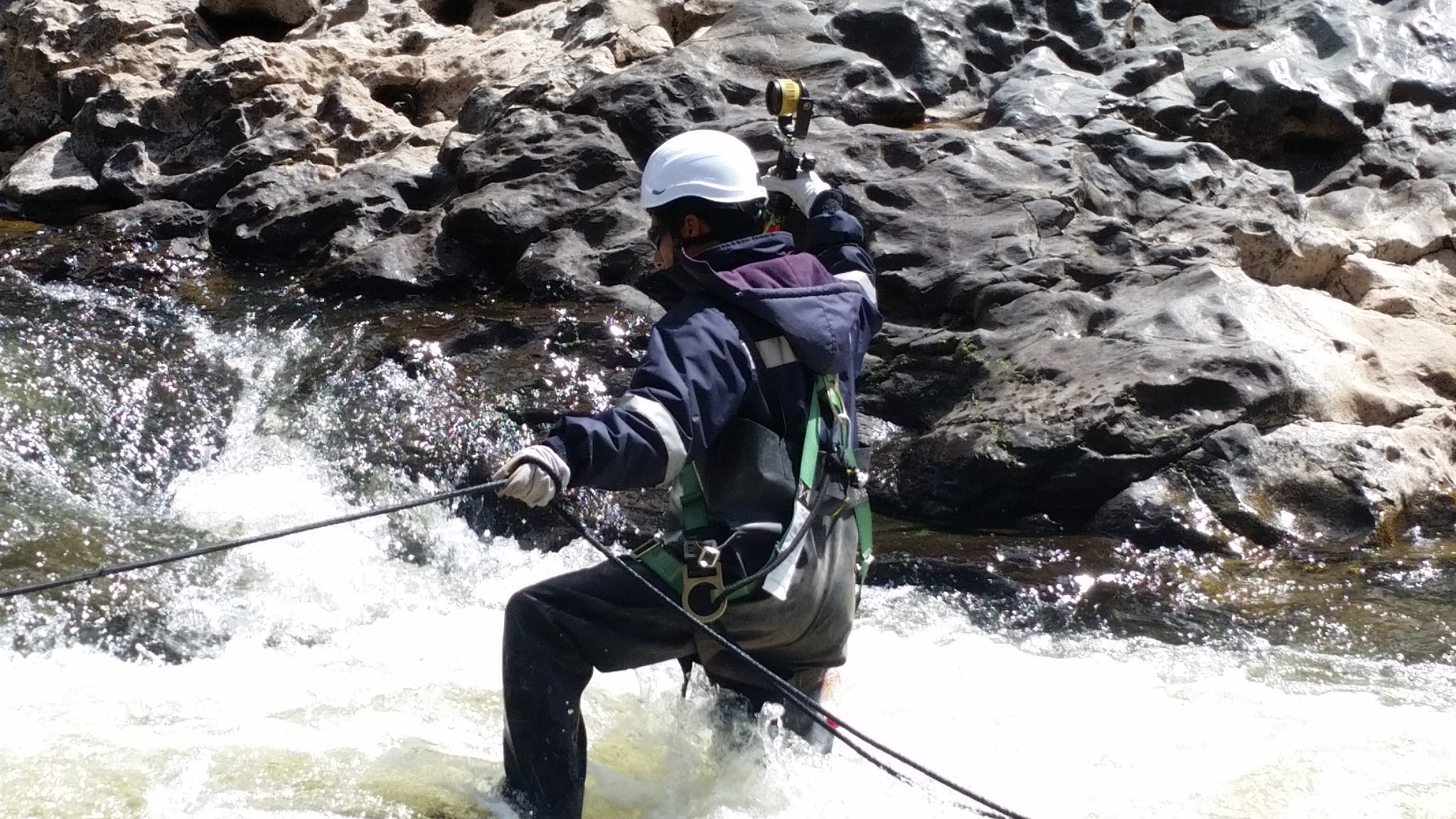
Topographic survey services play a crucial role in construction, infrastructure development, and natural resource management, providing precise measurements of land features. In regions like Huancavelica, Peru, where the terrain is mountainous and conditions can be challenging, topographic work becomes even more critical. However, it also brings significant risks that must be carefully managed to ensure the safety of workers and the accuracy of the data collected.

Contact Acero Estudio and ask about our topographic services, we work for your project.

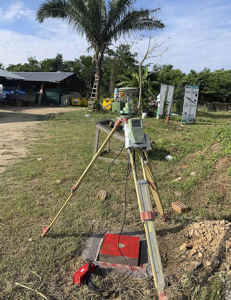
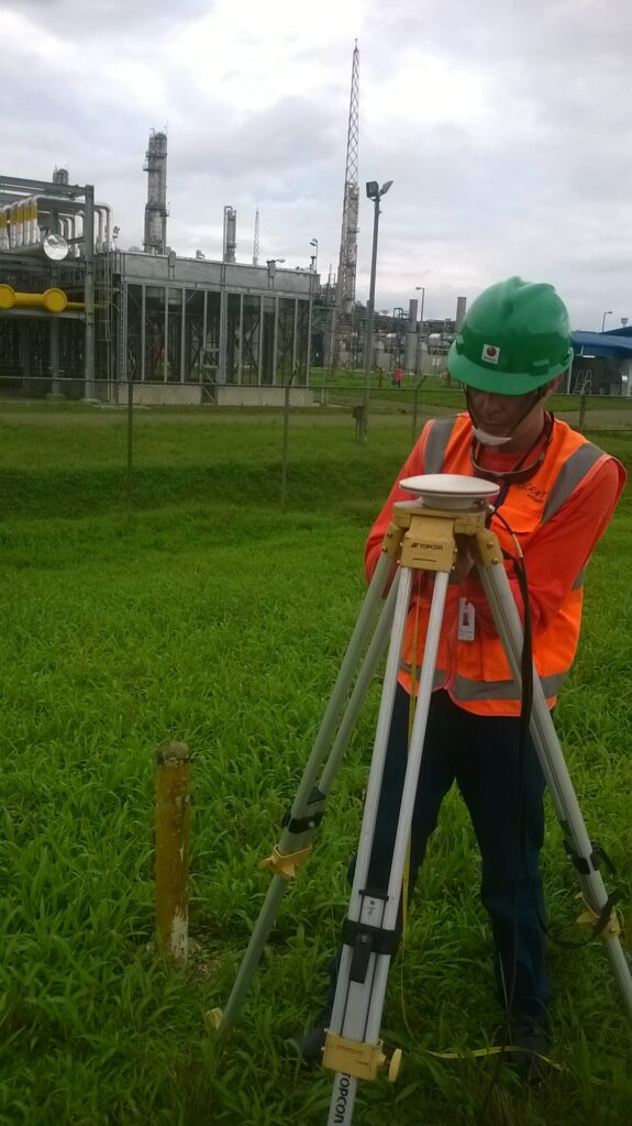
Topography Works with GPS and total station

At Acero Estudio, we specialize in providing high-quality topography services using the latest technology, including GPS and total stations. Our focus is on delivering precise and reliable data for construction, engineering, and land development projects, ensuring accurate mapping and surveying of your land.

GPS in Topography: Precision and Efficiency

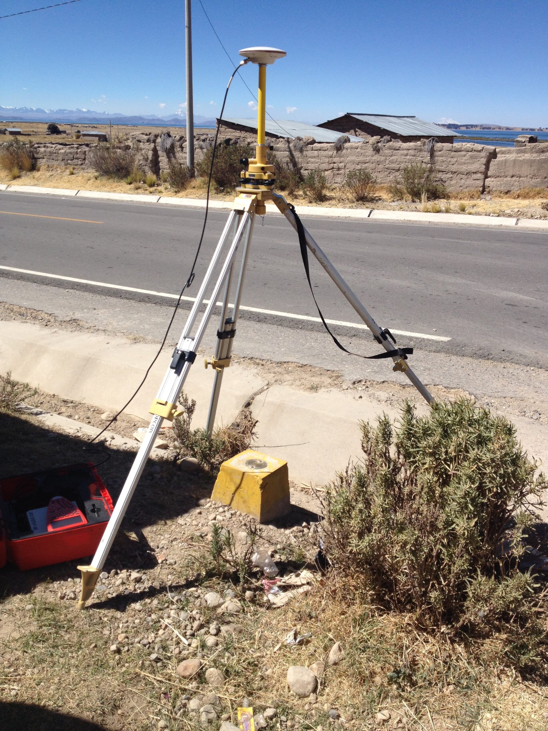
GPS (Global Positioning System) technology has revolutionized the field of topography. At Acero Estudio, we leverage high-precision GPS devices to gather accurate data on large and complex terrains. GPS allows us to quickly establish geodetic control points, ensuring consistent and reliable measurements across the project site.

The use of GPS in topographic surveying brings multiple advantages:

  • Efficiency: It significantly reduces the time needed to complete large-scale surveys.
  • Accuracy: GPS provides data with millimeter-level precision, ensuring high-quality results.
  • Versatility: GPS works in a variety of terrains, from open fields to rugged landscapes.

With GPS, we can efficiently conduct large-scale surveys, ensuring that your project is on a solid foundation right from the start.

Total Station: Accuracy in Detail

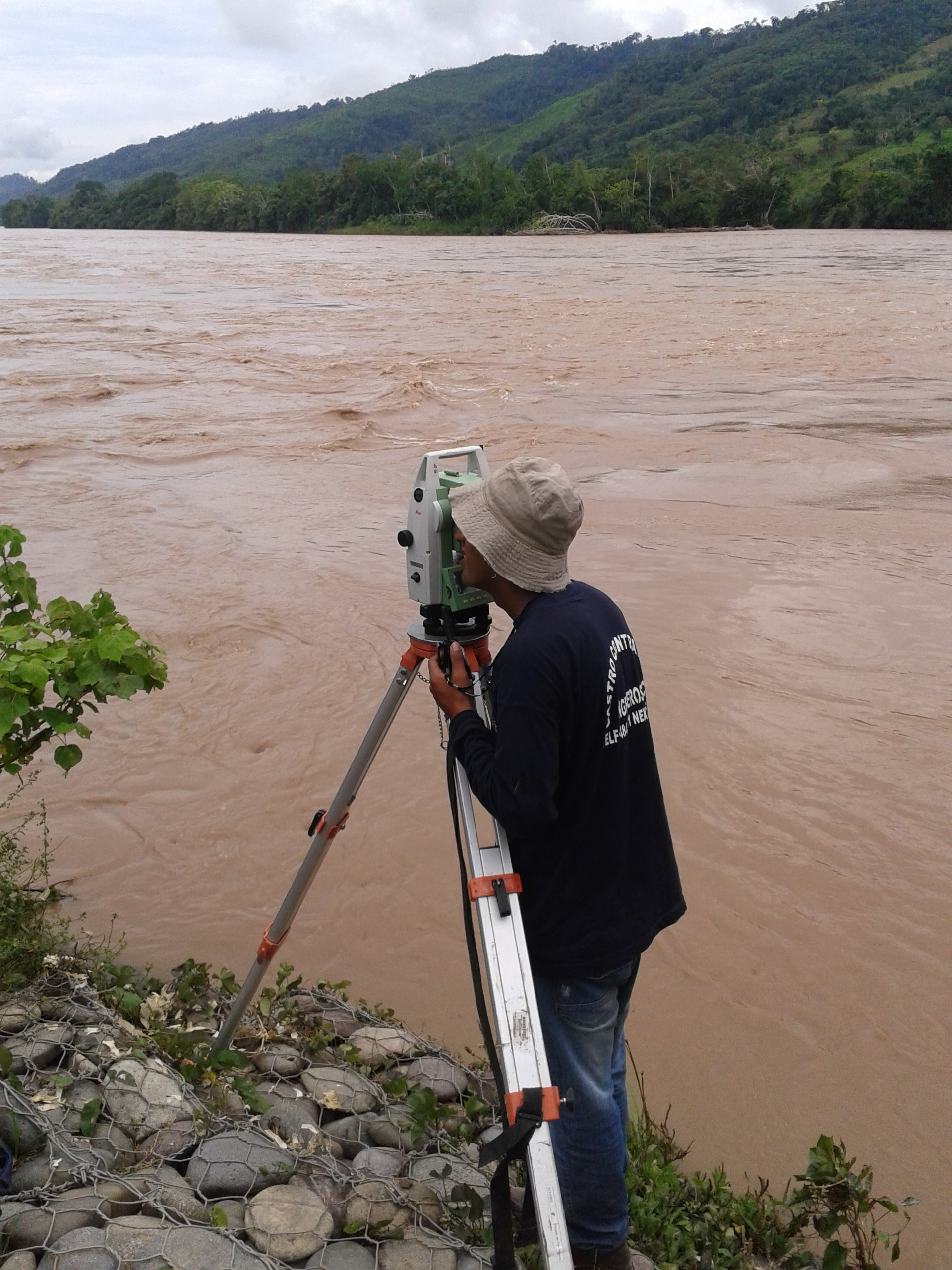
While GPS is ideal for large-scale surveys, total stations play a crucial role in capturing fine details and ensuring the highest level of accuracy for smaller or more intricate areas. A total station combines electronic distance measurement (EDM) and angular measurements to create highly accurate maps and layouts of construction sites, property boundaries, and other areas.

At Acero Estudio, we use the most advanced total stations to ensure:

  • Sub-millimeter precision: Ideal for boundary surveys, construction staking, and high-detail work.
  • Flexibility: Suitable for both short and long-range measurements.
  • Integration: Seamless integration with our GPS data for comprehensive mapping.

Using total stations allows us to ensure that every corner and boundary of your project site is accurately measured, preventing costly errors and delays during construction.

Combining GPS and Total Station for Optimal Results

The combination of GPS and total station technology allows us to deliver comprehensive topographic surveys tailored to the unique needs of each project. While GPS provides rapid, large-scale data collection, total stations ensure detailed and accurate measurements where high precision is needed. This hybrid approach ensures that every aspect of your project is thoroughly covered.

Why Choose Acero Estudio?

At Acero Estudio, we are dedicated to providing exceptional topographic services for a wide range of industries, including construction, civil engineering, and land development. Our team of experts has extensive experience in handling complex projects with the latest equipment and technology. By choosing Acero Estudio, you benefit from:

  • Accurate and reliable data for planning and decision-making.
  • Cutting-edge technology, including GPS and total stations, to ensure the highest level of precision.
  • Tailored solutions to meet the specific needs of your project.

With Acero Estudio, you can rest assured that your topographic survey will be conducted with professionalism, efficiency, and the highest standards of quality. Contact us today to learn more about our services and how we can assist in your next project.

Nuestra web está en reestructuración. Agradecemos su comprensión si algún componente del sitio no funciona correctamente. Para contactarnos escríbenos a: info@aceroestudio.com