Topographic studies, also known as topographic surveys, are a fundamental tool in engineering, construction, architecture, and urban planning due to the valuable information they provide about the terrain.
There are various types of topographic surveys, each with specific objectives adapted to the needs of your project. Below, we describe the main types of topographic studies, each with its respective objectives.
-
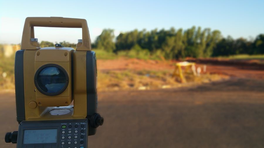
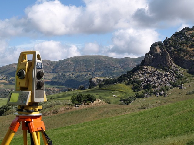
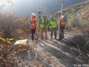
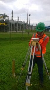
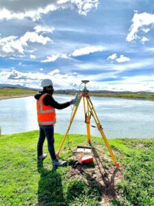
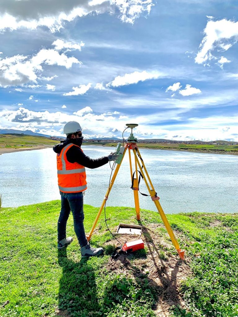
Geodetic Surveys
Geodetic surveys are essential for precise topographic mapping. Their objective is to create a framework of reference points with exact coordinates through the use of global navigation satellite systems (GNSS).
These surveys are crucial for large-scale projects, such as road and highway infrastructure, coastal city construction, and more. They provide reliable data to locate structures and other elements in relation to a global coordinate system.
-
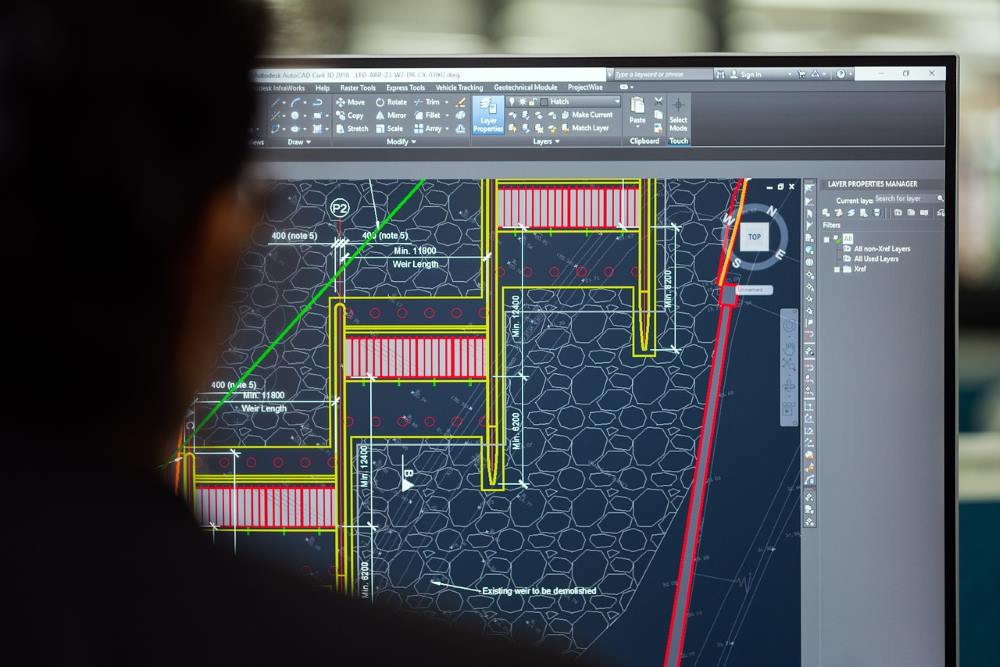
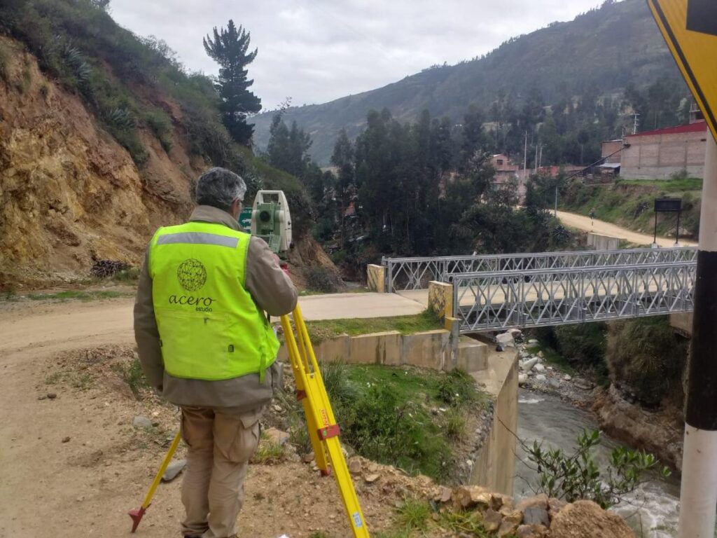
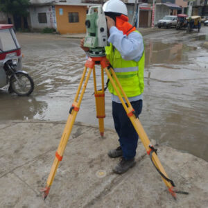
Plane Surveys
A plane survey allows for detailed measurements within specific areas. It is widely used for limited areas and coordinate delineation projects as it does not account for the Earth’s curvature. Traditional tools like theodolites and levels are used to measure distances, angles, and elevations, ensuring precision in local projects.
-
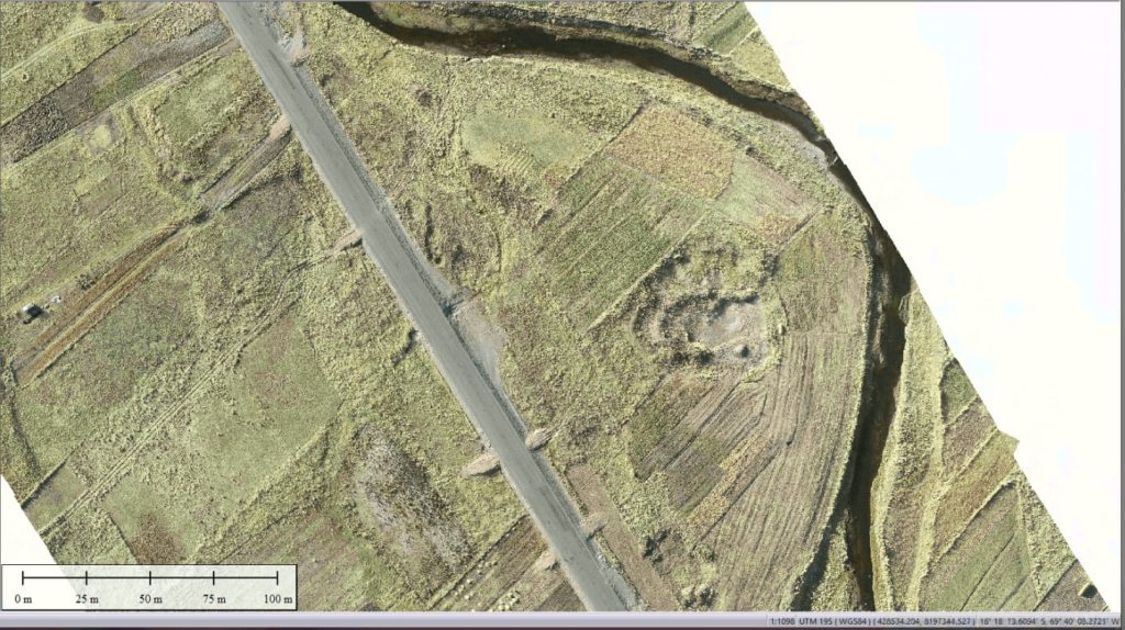
Airborne Surveys
With the help of unmanned aerial vehicles, such as drones, airborne surveys have become more efficient. These include drone photogrammetry and LiDAR (Light Detection and Ranging), with the goal of capturing extensive data over large areas quickly and accurately.
These aerial topographic studies enable the creation of three-dimensional terrain models, useful for urban planning, environmental monitoring, and evaluating inaccessible areas.
-
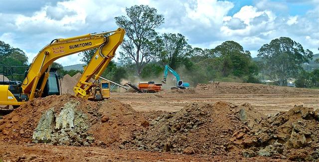
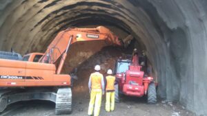
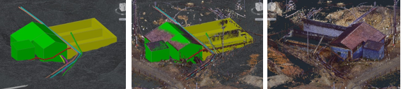
Construction Surveys
Specifically designed for the construction industry, construction surveys aim to provide precise data for buildings. It is recommended to conduct them from site preparation through to the final verification of structures.
This type of topographic study ensures that buildings, roads, and other infrastructure are constructed according to design specifications and meet regulatory standards, preventing costly errors in project execution.
-
Boundary Surveys
Boundary surveys aim to define and delineate property lines and are essential for resolving land disputes, property transfers, and compliance with zoning regulations.
-
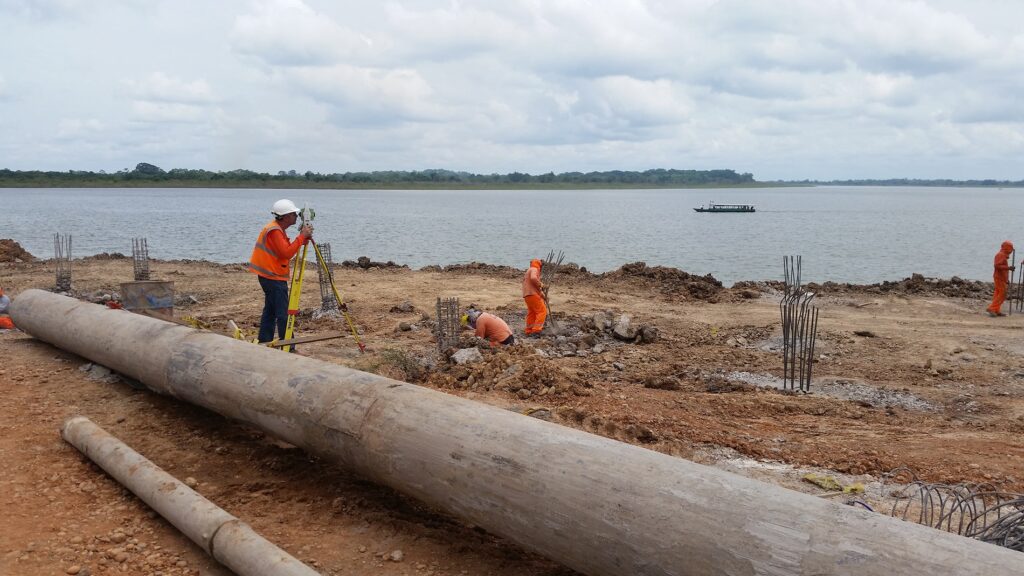
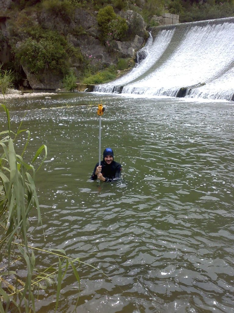
Hydrographic Surveys
The objective of hydrographic surveys is to map underwater features, such as depths, shoals, and obstacles. These studies are essential for navigation, marine construction, and coastal zone management. Thanks to this type of study, a detailed profile of the waterbed can be obtained for projects such as port dredging and maintenance of navigation routes.
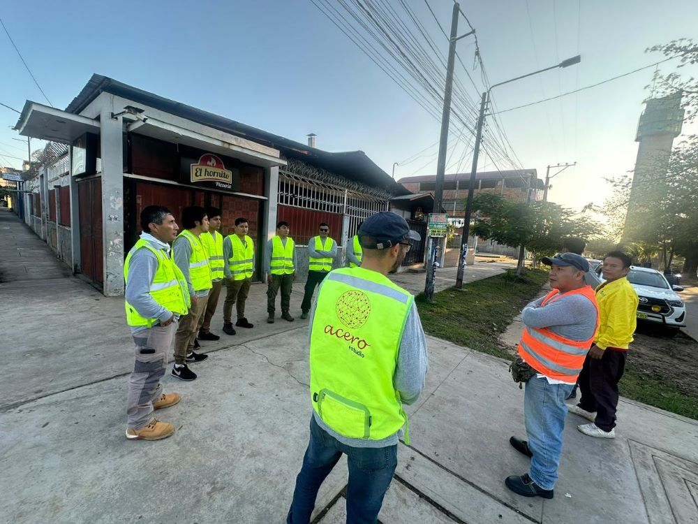
If you want to learn more about our topography services, remember that Acero Estudio is a surveying company with 25 years of experience in Europe and Latin America. Contact us today — as a topography company, we are specialists and at your service.