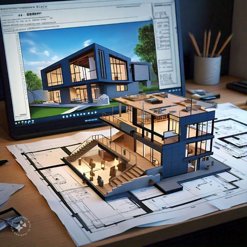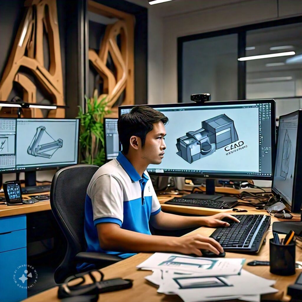
Computer-Aided Design (CAD) is a critical tool in creating technical drawings and designs for sectors such as construction, engineering, and manufacturing. Its use enables the creation of detailed and accurate representations of structures, mechanical parts, and more. CAD applications range from architectural design to product engineering, offering 2D and 3D visualizations. Its benefits include reducing errors, optimizing design time, and allowing for quick and effective modifications.
Benefits of Outsourcing CAD Design
- Cost savings: Avoid investing in expensive software and hiring specialized personnel.
- Access to experts: Work with highly skilled professionals without needing to train them in-house.
- Time optimization: Speed up projects and delivery deadlines, allowing the company to focus on core activities.
- Scalability: Adjust design resources based on project needs without compromising quality.
- Quality improvement: Access the latest technologies and practices without investing in continuous training.
Companies That Benefit from CAD Outsourcing
Outsourcing CAD design is particularly beneficial for companies in sectors such as construction, engineering, architecture, industrial design, and manufacturing. Companies managing multiple projects simultaneously or needing customized solutions without in-house infrastructure can find CAD outsourcing a cost-effective and efficient alternative. Additionally, startups or growing companies looking to optimize their technical resources can greatly benefit from this service.
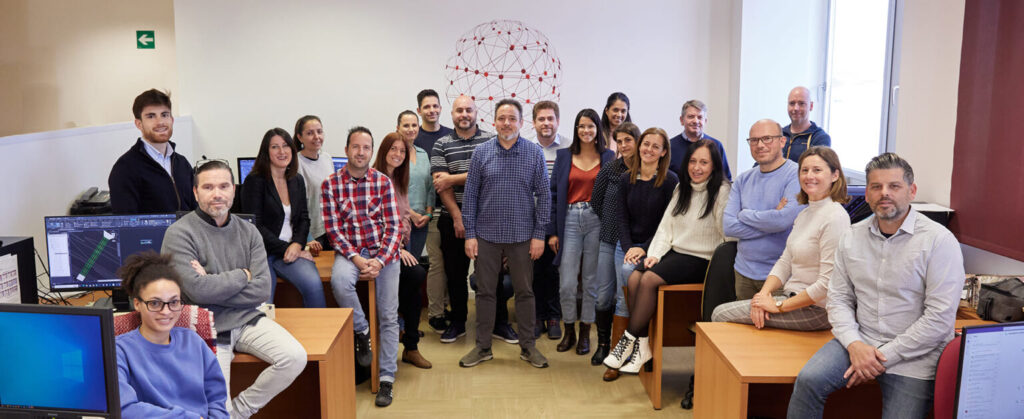
At Acero Estudio, we specialize in creating AutoCAD drawings for clients worldwide. With a highly skilled team, we guarantee precision, quality, and solutions tailored to your needs. We also offer the integration of AutoCAD with BIM methodology, enhancing collaboration and project management for complex projects. Contact us to take your project to the next level!