Pedestrian accessibility in public infrastructure is crucial for the efficient and safe mobility of people. In Lima, during the COVID-19 pandemic, it was necessary to strategically plan the mobility of people in the network of Metropolitano stations.
This study was necessary because people needed to circulate with the least possible crowding, maximizing efficiency, and minimizing the risk of infections. Acero Estudio contributed its expertise in aerial photogrammetry, orthophotos, and GPS technologies to achieve this goal.
Study for Improving Pedestrian Accessibility in the Metropolitano
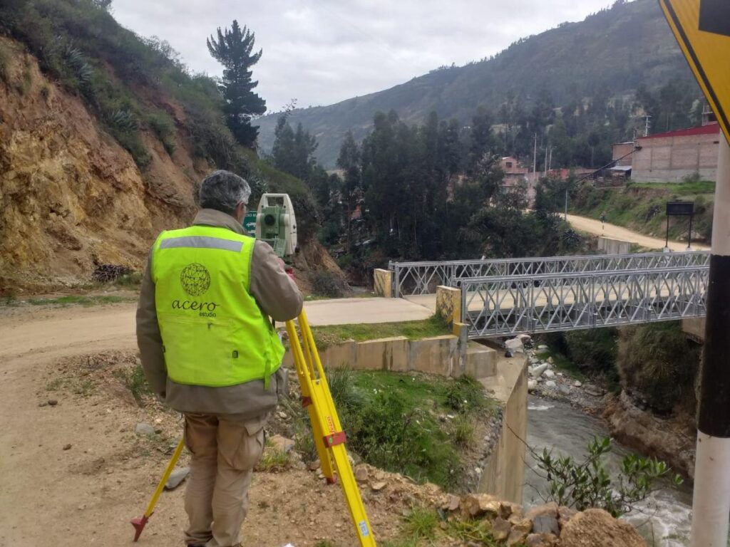
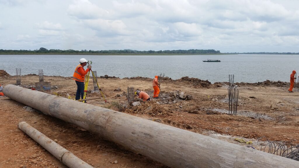
The Acero Estudio team in Peru conducted a conceptual study focused on the restitution and improvement of pedestrian accessibility at the Metropolitano stations in Lima. This project included the following tasks:
- Geodesy
- Drone flights
- Restitution of the designated area
- Presentation of results and improvement proposals
Methodology and Project Execution
Given the current COVID-19 pandemic situation, all activities were carried out under strict preventive measures and with the necessary medical examinations for the technicians involved in the project. The process was carried out in the following steps:
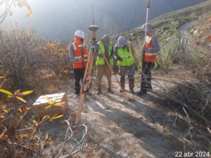
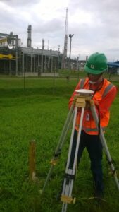
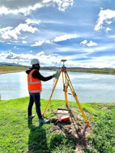
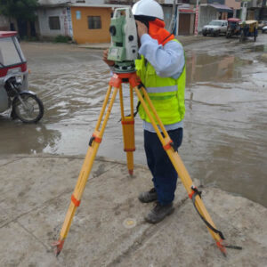
- Placement of Geodetic Points at each station
- Linking with the coordinate system of the National Geographic Institute (IGN)
- Measurement of points using differential GPS with dual frequency
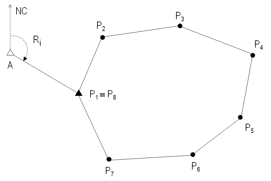
- Location of support points for drone flight restitution
- Marking points and measuring with GPS
- Obtaining high-precision data in real-time
Drone Flight Execution and Data Processing
Drone flights were conducted over the 33 Metropolitano stations at an appropriate height, considering the height of buildings and other existing elements in the environment. For this, a DJI Phantom 4 Pro drone equipped with a 20-megapixel camera was used. The photogrammetric images obtained were processed to generate a point cloud and an orthophoto of each station.
Deliverables and Study Results
The results of this study provided an important working basis for both Metropolitano officials and city health policymakers to understand the objective situation and establish appropriate strategies to reduce infection rates and virus spread at the Metropolitano stations in Lima.
Contact Us, We Are Drone Photogrammetry Specialists
At Acero Estudio, we specialize in drone photogrammetry and LIDAR services. We perform our services with the highest technology on the market, promoting the development of engineering and architectural projects. Contact us and consult with us; we are at your service.